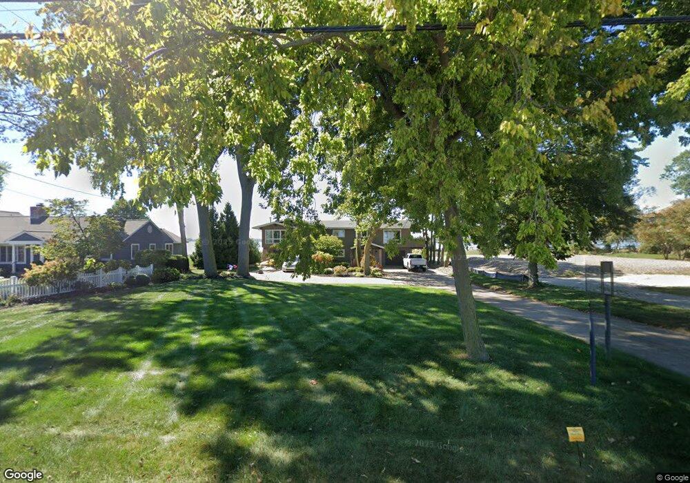
1401 Cedar Point Rd Sandusky, OH 44870
Estimated Value: $1,049,812 - $1,471,000
4
Beds
1
Bath
3,216
Sq Ft
$384/Sq Ft
Est. Value
About This Home
This home is located at 1401 Cedar Point Rd, Sandusky, OH 44870 and is currently estimated at $1,235,937, approximately $384 per square foot. 1401 Cedar Point Rd is a home located in Erie County with nearby schools including Sandusky High School.
Ownership History
Date
Name
Owned For
Owner Type
Purchase Details
Closed on
Oct 16, 2018
Sold by
Oney Ronald E and Oney Cynthia A
Bought by
Hanley Cole D and Hanley Kimberly N
Current Estimated Value
Home Financials for this Owner
Home Financials are based on the most recent Mortgage that was taken out on this home.
Original Mortgage
$453,000
Outstanding Balance
$395,043
Interest Rate
4.5%
Mortgage Type
New Conventional
Estimated Equity
$840,894
Purchase Details
Closed on
Jul 16, 2013
Sold by
Hughes Matthew T and Till Stephanie A
Bought by
For Sail Llc
Purchase Details
Closed on
Aug 22, 2012
Sold by
David Hughes Limited Pa
Bought by
Oney Ronald E and Oney Cynthia A
Home Financials for this Owner
Home Financials are based on the most recent Mortgage that was taken out on this home.
Original Mortgage
$400,000
Interest Rate
3.52%
Mortgage Type
New Conventional
Purchase Details
Closed on
May 24, 2012
Sold by
Hughes David E and Hughes Douglas C
Bought by
David Hughes Limited Partnership
Create a Home Valuation Report for This Property
The Home Valuation Report is an in-depth analysis detailing your home's value as well as a comparison with similar homes in the area
Purchase History
| Date | Buyer | Sale Price | Title Company |
|---|---|---|---|
| Hanley Cole D | $879,000 | Hartung Title Order | |
| For Sail Llc | -- | Hartung Title Order | |
| Oney Ronald E | $735,000 | None Available | |
| David Hughes Limited Partnership | -- | Hartung Title |
Source: Public Records
Mortgage History
| Date | Status | Borrower | Loan Amount |
|---|---|---|---|
| Open | Hanley Cole D | $453,000 | |
| Previous Owner | Oney Ronald E | $400,000 |
Source: Public Records
Tax History
| Year | Tax Paid | Tax Assessment Tax Assessment Total Assessment is a certain percentage of the fair market value that is determined by local assessors to be the total taxable value of land and additions on the property. | Land | Improvement |
|---|---|---|---|---|
| 2024 | $12,680 | $340,844 | $132,804 | $208,040 |
| 2023 | $13,114 | $322,231 | $117,180 | $205,051 |
| 2022 | $15,946 | $322,245 | $117,180 | $205,065 |
| 2021 | $16,094 | $322,250 | $117,180 | $205,070 |
| 2020 | $16,102 | $296,460 | $117,180 | $179,280 |
| 2019 | $16,565 | $296,460 | $117,180 | $179,280 |
| 2018 | $16,583 | $296,460 | $117,180 | $179,280 |
| 2017 | $10,336 | $179,850 | $121,090 | $58,760 |
| 2016 | $10,331 | $179,850 | $121,090 | $58,760 |
| 2015 | $9,359 | $179,850 | $121,090 | $58,760 |
| 2014 | $8,454 | $163,430 | $109,370 | $54,060 |
| 2013 | $8,370 | $163,430 | $109,370 | $54,060 |
Source: Public Records
Map
Nearby Homes
- 1431 Cedar Point Rd
- 1711 Willow Dr
- 939 Cedar Point Rd
- 81 Marina Point Dr
- 30 Marina Point Dr
- 57 Marina Point Dr
- 49 Marina Point Dr
- 32 Marina Point Dr
- 42 Marina Point Dr
- 1999 E Oldgate Rd
- 0 Cleveland Rd W
- 1640 Cleveland Rd W
- 1648 Oakmont Ln
- 1809 Knupke St
- 1810 Knupke St
- 2802 N Bayview Ln
- 2151 Aspen Run Rd
- 2707 Highland Dr
- 1035 1st St
- 1130 4th St
- 1339 Cedar Point Rd
- 1333 Cedar Point Rd
- 1335 Cedar Point Rd
- 1405 Cedar Point Rd
- 1409 Cedar Point Rd
- 1331 Cedar Point Rd
- 1329 Cedar Point Rd
- 1415 Cedar Point Rd
- 1327 Cedar Point Rd
- 1325 Cedar Point Rd
- 1419 Cedar Point Rd
- 1321 Cedar Point
- 1321 Cedar Point Rd
- 1423 Cedar Point Rd
- 1423 Cedar Point Rd
- 1427 Cedar Point Rd
- 1429 Cedar Point Rd
- 1313 Cedar Point Rd
- 1433 Cedar Point Rd
- 1443 Cedar Point Rd
Your Personal Tour Guide
Ask me questions while you tour the home.