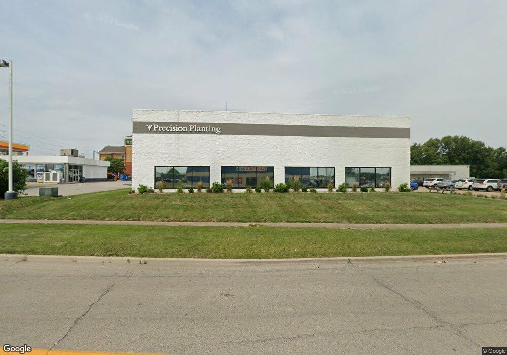
1401 Commerce Pkwy Bloomington, IL 61701
Estimated Value: $2,019,731
--
Bed
--
Bath
--
Sq Ft
0.85
Acres
About This Home
This home is located at 1401 Commerce Pkwy, Bloomington, IL 61701 and is currently estimated at $2,019,731. 1401 Commerce Pkwy is a home located in McLean County with nearby schools including Cedar Ridge Elementary School, Evans Junior High School, and Normal Community High School.
Ownership History
Date
Name
Owned For
Owner Type
Purchase Details
Closed on
Feb 14, 2022
Sold by
Csm Futures Llc
Bought by
Precision Planting Llc
Current Estimated Value
Purchase Details
Closed on
Dec 15, 2020
Sold by
M & E Management Inc
Bought by
Csm Futures Llc
Home Financials for this Owner
Home Financials are based on the most recent Mortgage that was taken out on this home.
Original Mortgage
$538,000
Interest Rate
2.73%
Mortgage Type
New Conventional
Create a Home Valuation Report for This Property
The Home Valuation Report is an in-depth analysis detailing your home's value as well as a comparison with similar homes in the area
Home Values in the Area
Average Home Value in this Area
Purchase History
| Date | Buyer | Sale Price | Title Company |
|---|---|---|---|
| Precision Planting Llc | $1,000,000 | Hinch Nathan B | |
| Csm Futures Llc | $665,000 | Alliance Land Title |
Source: Public Records
Mortgage History
| Date | Status | Borrower | Loan Amount |
|---|---|---|---|
| Previous Owner | Csm Futures Llc | $538,000 | |
| Previous Owner | Csm Futures Llc | $538,000 |
Source: Public Records
Tax History Compared to Growth
Tax History
| Year | Tax Paid | Tax Assessment Tax Assessment Total Assessment is a certain percentage of the fair market value that is determined by local assessors to be the total taxable value of land and additions on the property. | Land | Improvement |
|---|---|---|---|---|
| 2024 | $22,112 | $290,915 | $75,313 | $215,602 |
| 2022 | $22,112 | $250,252 | $64,786 | $185,466 |
| 2021 | $20,482 | $229,091 | $59,308 | $169,783 |
| 2020 | $21,628 | $241,592 | $55,364 | $186,228 |
| 2019 | $20,926 | $241,592 | $55,364 | $186,228 |
| 2018 | $20,296 | $234,555 | $53,751 | $180,804 |
| 2017 | $19,473 | $234,555 | $53,751 | $180,804 |
| 2016 | $19,419 | $234,555 | $53,751 | $180,804 |
| 2015 | $18,496 | $223,385 | $51,191 | $172,194 |
| 2014 | $18,291 | $223,385 | $51,191 | $172,194 |
| 2013 | -- | $223,385 | $51,191 | $172,194 |
Source: Public Records
Map
Nearby Homes
- 1114 Beechwood Ave
- 5214 Belvedere Dr
- 5209 Castlebar Dr
- 5208 Castlebar Dr
- 1018 Doral Dr
- 135 Avenue C
- 1336 13th St
- 104 Magnolia Dr
- 1340 13th St
- 1010 Arlene Ct Unit 15
- 1909 Marzel Dr
- 320 Avenue F
- 319 Avenue F
- 315 Avenue F
- 816 Bunn St
- 1919 Owens Dr
- 807 E Wood St
- 2001 Cloud St
- 1313 E Oakland Ave
- 1205 E Oakland Ave
- 1805 S Veterans Pkwy
- 1709 S Veterans Pkwy
- 1330 Beverly Ln
- 1328 Beverly Ln
- 1331 Beverly Ln
- 1326 Beverly Ln
- 1326 Beverly Ln
- 1324 Beverly Ln
- 1322 Beverly Ln
- 1329 Beverly Ln
- 1327 Beverly Ln
- 1320 Beverly Ln
- 1325 Beverly Ln
- 1323 Beverly Ln
- 1318 Beverly Ln
- 3 Currency Dr
- 1321 Beverly Ln
- 1316 Beverly Ln
- 1319 Beverly Ln
- 1317 Beverly Ln