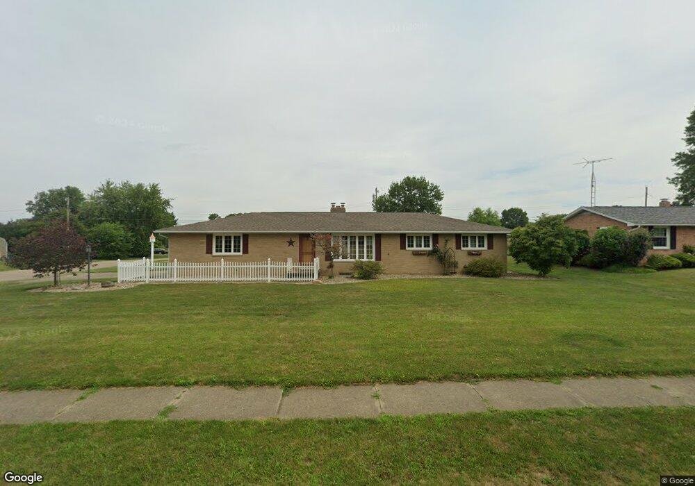
1401 Edmar St Louisville, OH 44641
Estimated Value: $245,473 - $294,000
3
Beds
2
Baths
1,814
Sq Ft
$149/Sq Ft
Est. Value
About This Home
This home is located at 1401 Edmar St, Louisville, OH 44641 and is currently estimated at $270,618, approximately $149 per square foot. 1401 Edmar St is a home located in Stark County with nearby schools including Louisville High School and St. Thomas Aquinas High School & Middle School.
Ownership History
Date
Name
Owned For
Owner Type
Purchase Details
Closed on
Oct 6, 2000
Sold by
Miller Frances M
Bought by
King Robert R and King Cynthia J
Current Estimated Value
Home Financials for this Owner
Home Financials are based on the most recent Mortgage that was taken out on this home.
Original Mortgage
$107,600
Interest Rate
7.99%
Mortgage Type
Purchase Money Mortgage
Purchase Details
Closed on
Dec 1, 1998
Sold by
Sluss Rolland E and Sluss Peggy A
Bought by
Miller Frances M
Home Financials for this Owner
Home Financials are based on the most recent Mortgage that was taken out on this home.
Original Mortgage
$60,000
Interest Rate
6.8%
Mortgage Type
Purchase Money Mortgage
Create a Home Valuation Report for This Property
The Home Valuation Report is an in-depth analysis detailing your home's value as well as a comparison with similar homes in the area
Home Values in the Area
Average Home Value in this Area
Purchase History
| Date | Buyer | Sale Price | Title Company |
|---|---|---|---|
| King Robert R | $134,500 | -- | |
| Miller Frances M | $124,000 | -- |
Source: Public Records
Mortgage History
| Date | Status | Borrower | Loan Amount |
|---|---|---|---|
| Previous Owner | King Robert R | $107,600 | |
| Previous Owner | Miller Frances M | $60,000 |
Source: Public Records
Tax History Compared to Growth
Tax History
| Year | Tax Paid | Tax Assessment Tax Assessment Total Assessment is a certain percentage of the fair market value that is determined by local assessors to be the total taxable value of land and additions on the property. | Land | Improvement |
|---|---|---|---|---|
| 2025 | -- | $73,890 | $18,760 | $55,130 |
| 2024 | -- | $73,890 | $18,760 | $55,130 |
| 2023 | $2,376 | $64,400 | $17,710 | $46,690 |
| 2022 | $2,399 | $64,400 | $17,710 | $46,690 |
| 2021 | $2,406 | $64,400 | $17,710 | $46,690 |
| 2020 | $1,925 | $57,090 | $15,960 | $41,130 |
| 2019 | $1,933 | $53,590 | $15,960 | $37,630 |
| 2018 | $1,788 | $53,590 | $15,960 | $37,630 |
| 2017 | $1,615 | $47,810 | $14,000 | $33,810 |
| 2016 | $1,648 | $47,810 | $14,000 | $33,810 |
| 2015 | $1,653 | $47,810 | $14,000 | $33,810 |
| 2014 | $1,484 | $41,340 | $12,110 | $29,230 |
| 2013 | $745 | $41,340 | $12,110 | $29,230 |
Source: Public Records
Map
Nearby Homes
- 641 S Nickelplate St
- 1715 High St
- 520 S Silver St
- 1812 E Broad St
- 908 Sand Lot Cir
- 308 Superior St
- 728 E Broad St
- 2110 Edmar St
- 510 S Bauman Ct
- 204 E Broad St
- 107 E Broad St
- 0 Michigan Blvd
- 3390 Meese Rd NE
- 1702 View Pointe Ave
- 2015 E Main St
- 325 Lincoln Ave
- 1639 Horizon Dr
- 8225 Georgetown St
- 1170 Winding Ridge Ave
- 910 Crosswyck Cir