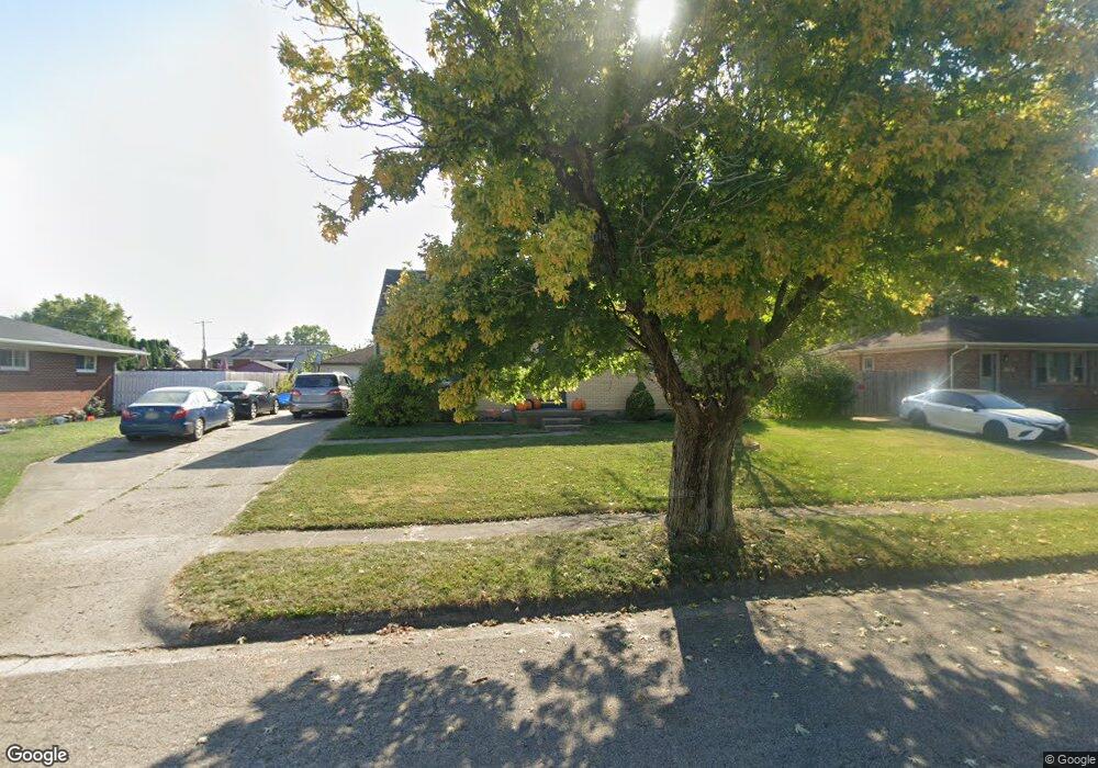
1401 Erika Dr Springfield, OH 45503
Estimated Value: $218,000 - $248,000
4
Beds
2
Baths
1,435
Sq Ft
$164/Sq Ft
Est. Value
About This Home
This home is located at 1401 Erika Dr, Springfield, OH 45503 and is currently estimated at $235,692, approximately $164 per square foot. 1401 Erika Dr is a home located in Clark County with nearby schools including Northridge Elementary School, Kenton Ridge Middle & High School, and Emmanuel Christian Academy.
Ownership History
Date
Name
Owned For
Owner Type
Purchase Details
Closed on
Jan 30, 2015
Sold by
Lenix Jeffery L and Lenix Mary Lee
Bought by
Mefford Mark C
Current Estimated Value
Home Financials for this Owner
Home Financials are based on the most recent Mortgage that was taken out on this home.
Original Mortgage
$93,279
Outstanding Balance
$71,057
Interest Rate
3.85%
Mortgage Type
FHA
Estimated Equity
$164,635
Purchase Details
Closed on
Jul 19, 2001
Sold by
Cook William H and Cook Erika L
Bought by
Lenix Jeffery L and Lenix Mary Lee
Home Financials for this Owner
Home Financials are based on the most recent Mortgage that was taken out on this home.
Original Mortgage
$90,900
Interest Rate
7.22%
Mortgage Type
Purchase Money Mortgage
Purchase Details
Closed on
Mar 1, 1993
Create a Home Valuation Report for This Property
The Home Valuation Report is an in-depth analysis detailing your home's value as well as a comparison with similar homes in the area
Home Values in the Area
Average Home Value in this Area
Purchase History
| Date | Buyer | Sale Price | Title Company |
|---|---|---|---|
| Mefford Mark C | $95,000 | Attorney | |
| Lenix Jeffery L | $101,000 | -- | |
| -- | -- | -- |
Source: Public Records
Mortgage History
| Date | Status | Borrower | Loan Amount |
|---|---|---|---|
| Open | Mefford Mark C | $93,279 | |
| Previous Owner | Lenix Jeffery L | $90,900 |
Source: Public Records
Tax History
| Year | Tax Paid | Tax Assessment Tax Assessment Total Assessment is a certain percentage of the fair market value that is determined by local assessors to be the total taxable value of land and additions on the property. | Land | Improvement |
|---|---|---|---|---|
| 2025 | $2,362 | $63,900 | $13,520 | $50,380 |
| 2024 | $2,286 | $52,870 | $12,450 | $40,420 |
| 2023 | $2,286 | $52,870 | $12,450 | $40,420 |
| 2022 | $2,295 | $52,870 | $12,450 | $40,420 |
| 2021 | $2,095 | $40,900 | $9,290 | $31,610 |
| 2020 | $2,097 | $40,900 | $9,290 | $31,610 |
| 2019 | $2,137 | $40,900 | $9,290 | $31,610 |
| 2018 | $2,039 | $37,430 | $10,320 | $27,110 |
| 2017 | $1,754 | $39,582 | $10,318 | $29,264 |
| 2016 | $1,743 | $39,582 | $10,318 | $29,264 |
| 2015 | $1,891 | $39,582 | $10,318 | $29,264 |
| 2014 | $1,891 | $39,582 | $10,318 | $29,264 |
| 2013 | $1,847 | $39,582 | $10,318 | $29,264 |
Source: Public Records
Map
Nearby Homes
- 1521 Erika Dr
- 5033 Ridgewood Rd E
- 1709 Thomas Dr
- 5564 Ridgewood Rd W
- 5564 Ridgewood Rd E Unit 7
- 4802 Willowbrook Dr
- 1707 Berwick Dr
- 4741 Cullen Ave
- 5722 Victorian Way Unit 31
- 1836 Dunseth Ln
- 4652 Reno Ln Unit 15
- Pendleton Plan at
- Holcombe Plan at
- Newcastle Plan at
- Chatham Plan at
- 862 Brendle Trace Unit 20
- 937 Willow Rd
- 4446 Ridgewood Rd E Unit 3
- 1470 Oldham Dr Unit 12
- 1341 Student Ave
- 1405 Erika Dr
- 1337 Erika Dr
- 1334 Richmoor Rd
- 1338 Richmoor Rd
- 1324 Richmoor Rd
- 1327 Erika Dr
- 1411 Erika Dr
- 1400 Erika Dr
- 1400 Richmoor Rd
- 1320 Richmoor Rd
- 1410 Erika Dr
- 1324 Erika Dr
- 1317 Erika Dr
- 1416 Erika Dr
- 1417 Erika Dr
- 1408 Richmoor Rd
- 1314 Richmoor Rd
- 5214 Hughes Ct
- 1327 Richmoor Rd
- 5217 Hughes Ct
Your Personal Tour Guide
Ask me questions while you tour the home.