1401 Hollier Rd Friendswood, TX 77546
Estimated Value: $417,000 - $706,000
--
Bed
--
Bath
3,277
Sq Ft
$159/Sq Ft
Est. Value
About This Home
This home is located at 1401 Hollier Rd, Friendswood, TX 77546 and is currently estimated at $519,623, approximately $158 per square foot. 1401 Hollier Rd is a home with nearby schools including G.W. Harby Junior High School, Alvin High School, and Living Stones Christian School.
Ownership History
Date
Name
Owned For
Owner Type
Purchase Details
Closed on
Sep 3, 2002
Sold by
Mantell Chris A and Mantel Chris A
Bought by
Auzenne Dwight S and Auzenne Archon Y
Current Estimated Value
Home Financials for this Owner
Home Financials are based on the most recent Mortgage that was taken out on this home.
Original Mortgage
$34,200
Interest Rate
6.25%
Mortgage Type
Construction
Create a Home Valuation Report for This Property
The Home Valuation Report is an in-depth analysis detailing your home's value as well as a comparison with similar homes in the area
Home Values in the Area
Average Home Value in this Area
Purchase History
| Date | Buyer | Sale Price | Title Company |
|---|---|---|---|
| Auzenne Dwight S | -- | Alamo Title Company |
Source: Public Records
Mortgage History
| Date | Status | Borrower | Loan Amount |
|---|---|---|---|
| Closed | Auzenne Dwight S | $34,200 |
Source: Public Records
Tax History Compared to Growth
Tax History
| Year | Tax Paid | Tax Assessment Tax Assessment Total Assessment is a certain percentage of the fair market value that is determined by local assessors to be the total taxable value of land and additions on the property. | Land | Improvement |
|---|---|---|---|---|
| 2025 | $5,244 | $319,969 | $74,350 | $355,220 |
| 2023 | $5,244 | $306,790 | $60,410 | $246,380 |
| 2022 | $8,130 | $296,380 | $50,000 | $246,380 |
| 2021 | $8,557 | $296,380 | $50,000 | $246,380 |
| 2020 | $8,674 | $296,380 | $50,000 | $246,380 |
| 2019 | $8,470 | $282,000 | $30,870 | $251,130 |
| 2018 | $8,485 | $282,000 | $37,040 | $244,960 |
| 2017 | $8,532 | $280,000 | $35,500 | $244,500 |
| 2016 | $8,105 | $266,000 | $37,040 | $228,960 |
| 2015 | $7,197 | $255,000 | $30,000 | $225,000 |
| 2014 | $7,197 | $250,230 | $23,260 | $226,970 |
Source: Public Records
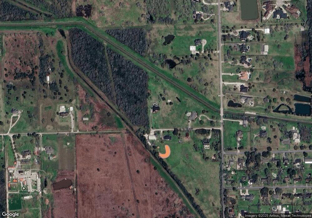
Map
Nearby Homes
- 1412 Hollier Rd
- 875 Barrell Rd
- 106 Tower Dr
- 105 Canal Dr
- 417 De Coster Blvd
- 394 De Coster Blvd
- 2871 Love Ln
- 1100 Fox Meadow Dr Unit 123
- 2904 Bridle Path Ln
- 5690 Highway 35 Bypass
- 2847 Everett Dr
- 5321 Latigo Ct
- 5323 Latigo Ct
- 5318 Latigo Ct
- The Princeton II Plan at Kendall Lakes
- The Crawford Plan at Kendall Lakes
- The Davenport II Plan at Kendall Lakes
- The Georgetown II Plan at Kendall Lakes
- The Pearson Plan at Kendall Lakes
- The James Plan at Kendall Lakes
- 1404 Hollier Rd
- 3032 Mandale Rd
- 0 County Road 134 Unit 33974134
- 134 County Rd
- 3108 Mandale Rd
- 0 Barrell Rd Unit 71569649
- 0 Barrell Rd Unit 34856692
- 0 Barrell Rd Unit 79408590
- Lot 9 Mandale Rd
- LOT 6 Mandale Rd
- .449 Canal Dr
- 120 Canal Dr
- 121 Canal Dr
- 120 Tower Dr
- 119 Canal Dr
- 3006 Mandale Rd
- 118 Tower Dr
- 3015 Mandale Rd
- 117 Tower Dr
- 116 Tower Dr