1401 Overlook Ridge Rd Bishop, GA 30621
Estimated Value: $320,058 - $390,000
3
Beds
2
Baths
1,234
Sq Ft
$291/Sq Ft
Est. Value
About This Home
This home is located at 1401 Overlook Ridge Rd, Bishop, GA 30621 and is currently estimated at $358,765, approximately $290 per square foot. 1401 Overlook Ridge Rd is a home located in Oconee County with nearby schools including Rocky Branch Elementary School, Malcom Bridge Middle School, and North Oconee High School.
Ownership History
Date
Name
Owned For
Owner Type
Purchase Details
Closed on
Sep 30, 2005
Sold by
Bender William
Bought by
Banyai Peter and Banyai Jill A
Current Estimated Value
Home Financials for this Owner
Home Financials are based on the most recent Mortgage that was taken out on this home.
Original Mortgage
$140,000
Outstanding Balance
$72,510
Interest Rate
5.25%
Mortgage Type
New Conventional
Estimated Equity
$286,255
Create a Home Valuation Report for This Property
The Home Valuation Report is an in-depth analysis detailing your home's value as well as a comparison with similar homes in the area
Home Values in the Area
Average Home Value in this Area
Purchase History
| Date | Buyer | Sale Price | Title Company |
|---|---|---|---|
| Banyai Peter | $140,000 | -- |
Source: Public Records
Mortgage History
| Date | Status | Borrower | Loan Amount |
|---|---|---|---|
| Open | Banyai Peter | $140,000 |
Source: Public Records
Tax History Compared to Growth
Tax History
| Year | Tax Paid | Tax Assessment Tax Assessment Total Assessment is a certain percentage of the fair market value that is determined by local assessors to be the total taxable value of land and additions on the property. | Land | Improvement |
|---|---|---|---|---|
| 2024 | $74 | $103,452 | $37,500 | $65,952 |
| 2023 | $70 | $95,540 | $33,072 | $62,468 |
| 2022 | $1,822 | $86,907 | $33,072 | $53,835 |
| 2021 | $1,623 | $72,107 | $27,984 | $44,123 |
| 2020 | $1,429 | $63,644 | $21,624 | $42,020 |
| 2019 | $1,391 | $61,991 | $21,624 | $40,367 |
| 2018 | $1,298 | $56,795 | $21,624 | $35,171 |
| 2017 | $1,222 | $53,587 | $21,624 | $31,963 |
| 2016 | $1,047 | $46,207 | $16,536 | $29,671 |
| 2015 | $1,041 | $45,854 | $16,536 | $29,318 |
| 2014 | $972 | $42,003 | $16,536 | $25,467 |
| 2013 | -- | $40,469 | $16,536 | $23,933 |
Source: Public Records
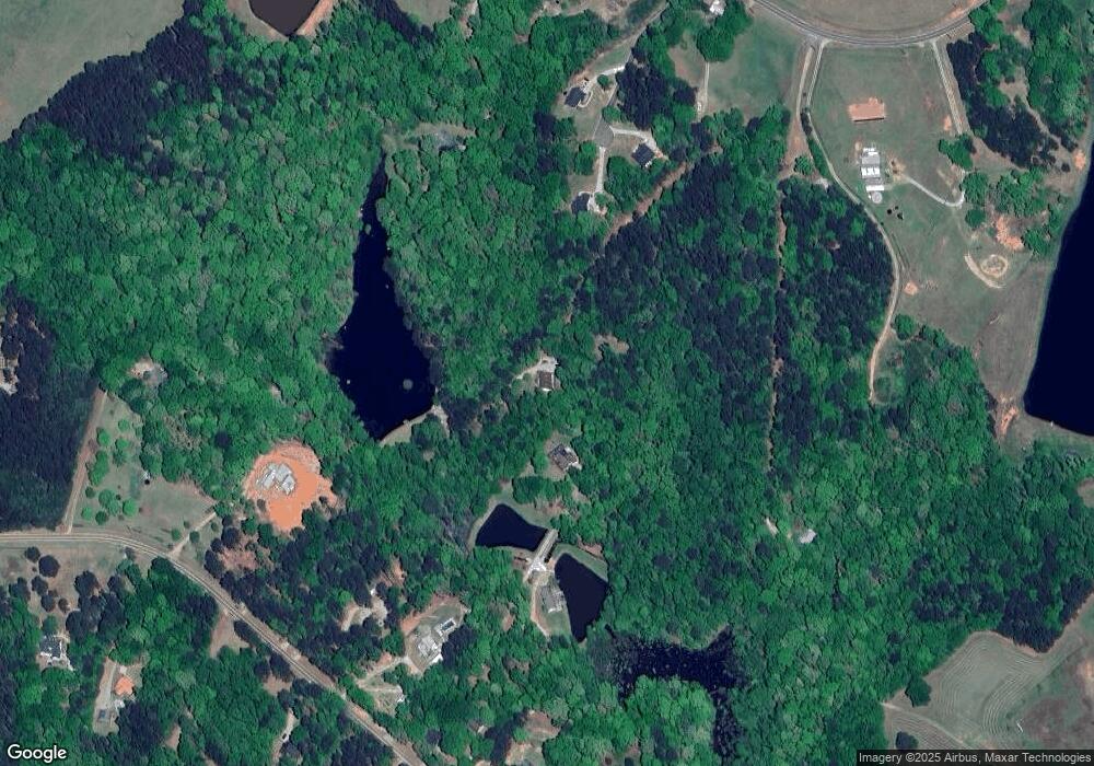
Map
Nearby Homes
- 0 Us 53 Hwy Unit 10376334
- 1070 Lane Creek Terrace
- 1040 Peacock Dr
- 1691 Snows Mill Rd
- 1224 Malcom Estates Point Lot: 67
- 1941 Kingsland Way
- 2100 Rays Church Rd
- 1070 Lexington Ct
- 1410 Lane Creek Dr
- 1770 Lane Creek Dr
- 1311 Riverhill Dr
- 1496 Malcom Estates Dr
- 1224 Malcom Estates Point Unit Lot 67
- 1041 Riverhill Dr
- 1301 Riverhill Dr
- 1051 Riverhill Dr
- 1040 Pimlico Ln
- 1451 Overlook Ridge Rd
- 1471 Aycock Rd
- 1497 Aycock Rd
- 1371 Overlook Ridge Rd
- 1531 Aycock Rd
- 1411 Overlook Ridge Rd
- 1431 Overlook Ridge Rd
- 1493 Aycock Rd
- 1391 Overlook Ridge Rd
- 1451 Aycock Rd
- 1473 Aycock Rd
- 1461 Overlook Ridge Rd
- 1481 Overlook Ridge Rd
- 1351 Overlook Ridge Rd
- 1481 Aycock Rd
- 1521 Overlook Ridge Rd
- 1513 Aycock Rd
- 1420 Overlook Ridge Rd
- 1495 Aycock Rd
- 1360 Overlook Ridge Rd