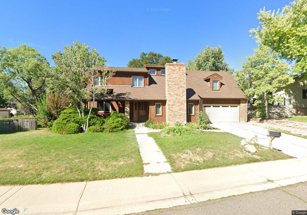
1401 Saint Andrews Dr Broomfield, CO 80020
Broomfield Country Club NeighborhoodEstimated Value: $716,833 - $809,000
4
Beds
3
Baths
2,182
Sq Ft
$351/Sq Ft
Est. Value
About This Home
This home is located at 1401 Saint Andrews Dr, Broomfield, CO 80020 and is currently estimated at $765,958, approximately $351 per square foot. 1401 Saint Andrews Dr is a home located in Broomfield County with nearby schools including Aspen Creek K-8 School, Birch Elementary School, and Broomfield High School.
Ownership History
Date
Name
Owned For
Owner Type
Purchase Details
Closed on
Feb 15, 2024
Sold by
Hughes Mimi R and Hughes Bradley M
Bought by
Hughes Mimi and Abel Steven
Current Estimated Value
Home Financials for this Owner
Home Financials are based on the most recent Mortgage that was taken out on this home.
Original Mortgage
$568,000
Outstanding Balance
$558,056
Interest Rate
6.66%
Mortgage Type
New Conventional
Estimated Equity
$207,902
Purchase Details
Closed on
May 6, 2022
Sold by
Hall And Corley Revocable Living Trust
Bought by
Hughes Bradley M and Hughes Mimi R
Home Financials for this Owner
Home Financials are based on the most recent Mortgage that was taken out on this home.
Original Mortgage
$600,000
Interest Rate
4.52%
Mortgage Type
Balloon
Purchase Details
Closed on
Apr 13, 2020
Sold by
Hall Christine M and Corley Steven B
Bought by
Hall and Hall C
Purchase Details
Closed on
Jul 25, 1991
Purchase Details
Closed on
Dec 23, 1987
Purchase Details
Closed on
Oct 17, 1984
Purchase Details
Closed on
May 21, 1984
Create a Home Valuation Report for This Property
The Home Valuation Report is an in-depth analysis detailing your home's value as well as a comparison with similar homes in the area
Home Values in the Area
Average Home Value in this Area
Purchase History
| Date | Buyer | Sale Price | Title Company |
|---|---|---|---|
| Hughes Mimi | -- | None Listed On Document | |
| Hughes Bradley M | $755,000 | First American Title | |
| Hall | -- | None Available | |
| -- | $148,500 | -- | |
| -- | $141,000 | -- | |
| -- | $163,600 | -- | |
| -- | $37,900 | -- |
Source: Public Records
Mortgage History
| Date | Status | Borrower | Loan Amount |
|---|---|---|---|
| Open | Hughes Mimi | $568,000 | |
| Previous Owner | Hughes Bradley M | $600,000 |
Source: Public Records
Tax History Compared to Growth
Tax History
| Year | Tax Paid | Tax Assessment Tax Assessment Total Assessment is a certain percentage of the fair market value that is determined by local assessors to be the total taxable value of land and additions on the property. | Land | Improvement |
|---|---|---|---|---|
| 2025 | $4,106 | $44,480 | $12,190 | $32,290 |
| 2024 | $4,106 | $43,820 | $10,930 | $32,890 |
| 2023 | $4,098 | $49,280 | $12,290 | $36,990 |
| 2022 | $3,217 | $33,280 | $9,650 | $23,630 |
| 2021 | $3,202 | $34,250 | $9,930 | $24,320 |
| 2020 | $2,994 | $31,830 | $9,300 | $22,530 |
| 2019 | $2,989 | $32,050 | $9,360 | $22,690 |
| 2018 | $2,845 | $30,140 | $7,820 | $22,320 |
| 2017 | $2,802 | $33,330 | $8,650 | $24,680 |
| 2016 | $2,794 | $29,630 | $8,650 | $20,980 |
| 2015 | $2,698 | $25,980 | $8,650 | $17,330 |
| 2014 | $2,418 | $25,980 | $8,650 | $17,330 |
Source: Public Records
Map
Nearby Homes
- 1490 Saint Andrews Dr
- 114 E 14th Ct
- 37 E 14th Place
- 1732 Peregrine Ln
- 23 Scott Dr N
- 53 Douglas Dr S
- 20 Scott Dr N
- 46 Douglas Dr S
- 57 Scott Dr S
- 1175 Oakhurst Dr
- 14 N Douglas Dr
- 30 Douglas Dr N
- 1152 Clubhouse Dr
- 583 Redstone Dr
- 1123 Oakhurst Dr
- 1118 Oakhurst Dr
- 36 Carla Way
- 1719 Daisy Ct
- 267 Powderhorn Trail
- 1660 Emerald St
- 1407 Dunsford Way
- 1413 Dunsford Way
- 1410 Saint Andrews Dr
- 1400 Saint Andrews Dr
- 1420 Saint Andrews Dr
- 1419 Dunsford Way
- 1392 Nissen Ct
- 1409 Saint Andrews Dr
- 1430 Saint Andrews Dr
- 1420 Dunsford Way
- 380 E 14th Ave
- 1425 Dunsford Way
- 1395 Nissen Ct
- 1430 Dunsford Way
- 1440 Saint Andrews Dr
- 1382 Nissen Ct
- 1439 Saint Andrews Dr
- 1450 Dunsford Way
- 1385 Nissen Ct
- 1431 Dunsford Way