1401 Scott Rd Mansfield, OH 44903
Estimated Value: $214,884 - $256,000
3
Beds
1
Bath
1,300
Sq Ft
$181/Sq Ft
Est. Value
About This Home
This home is located at 1401 Scott Rd, Mansfield, OH 44903 and is currently estimated at $235,721, approximately $181 per square foot. 1401 Scott Rd is a home located in Richland County with nearby schools including Clear Fork High School.
Ownership History
Date
Name
Owned For
Owner Type
Purchase Details
Closed on
Dec 21, 1999
Sold by
Wynn Douglas M
Bought by
Anderson Elizabeth K Lars I
Current Estimated Value
Home Financials for this Owner
Home Financials are based on the most recent Mortgage that was taken out on this home.
Original Mortgage
$67,955
Outstanding Balance
$21,289
Interest Rate
7.87%
Mortgage Type
New Conventional
Estimated Equity
$214,432
Purchase Details
Closed on
Sep 9, 1999
Sold by
Est Ruth E Robinson
Bought by
Wynn Douglas M and Wynn Sharon K
Create a Home Valuation Report for This Property
The Home Valuation Report is an in-depth analysis detailing your home's value as well as a comparison with similar homes in the area
Home Values in the Area
Average Home Value in this Area
Purchase History
| Date | Buyer | Sale Price | Title Company |
|---|---|---|---|
| Anderson Elizabeth K Lars I | $72,000 | -- | |
| Wynn Douglas M | $83,000 | -- |
Source: Public Records
Mortgage History
| Date | Status | Borrower | Loan Amount |
|---|---|---|---|
| Open | Anderson Elizabeth K Lars I | $67,955 |
Source: Public Records
Tax History Compared to Growth
Tax History
| Year | Tax Paid | Tax Assessment Tax Assessment Total Assessment is a certain percentage of the fair market value that is determined by local assessors to be the total taxable value of land and additions on the property. | Land | Improvement |
|---|---|---|---|---|
| 2024 | $1,860 | $49,910 | $10,870 | $39,040 |
| 2023 | $1,860 | $49,910 | $10,870 | $39,040 |
| 2022 | $1,582 | $37,910 | $9,330 | $28,580 |
| 2021 | $1,735 | $37,910 | $9,330 | $28,580 |
| 2020 | $1,610 | $37,910 | $9,330 | $28,580 |
| 2019 | $1,430 | $31,780 | $7,820 | $23,960 |
| 2018 | $1,416 | $31,780 | $7,820 | $23,960 |
| 2017 | $1,392 | $31,780 | $7,820 | $23,960 |
| 2016 | $1,236 | $28,150 | $6,660 | $21,490 |
| 2015 | $1,178 | $28,150 | $6,660 | $21,490 |
| 2014 | $1,176 | $28,150 | $6,660 | $21,490 |
| 2012 | $582 | $29,010 | $6,860 | $22,150 |
Source: Public Records
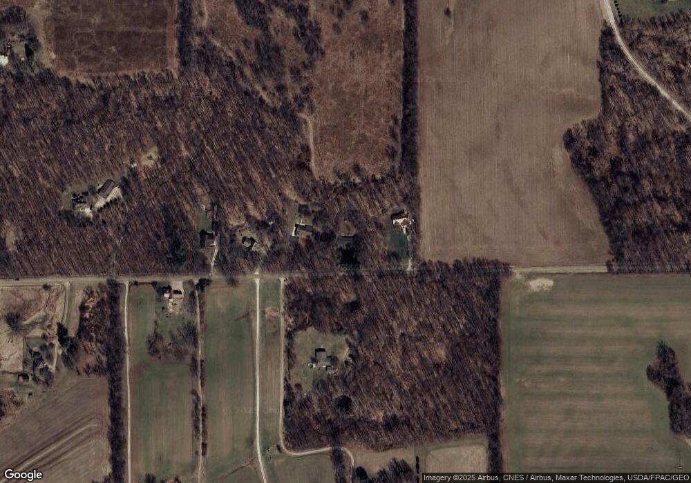
Map
Nearby Homes
- 0 Tucker Rd
- 0 Garver Rd Washington Rd S Unit 20253648
- 4581 Possum Run Rd Unit O
- 3362 Possum Run Rd
- 2221 Pleasant Valley Rd
- 0 Kenton Rd
- 2905 Tucker Rd
- 0 Anderson Rd
- 0 Garver Washington Rd S
- 1135 E Hanley Rd
- 110 E Kochheiser Rd
- 3261 Moffett Rd
- 4978 Bott Rd
- 3550 German Church Rd
- 4977 Teeter Rd
- 0 Garver Rd
- 2061 Washington North Rd
- 119 Yorkshire Rd
- 1377 Scott Rd
- 1415 Scott Rd
- 1365 Scott Rd
- 1390 Scott Rd
- 1333 Scott Rd
- 1296 Scott Rd
- 1257 Scott Rd
- 1380 Scott Rd
- 1258 Scott Rd
- 1241 Scott Rd
- 1306 Scott Rd
- 3525 Hastings Newville Rd
- 3481 Washington South Rd
- 1360 Scott Rd
- 1195 Scott Rd
- 3475 Hastings Newville Rd
- 3464 Hastings Newville Rd
- 3754 Hastings Newville Rd
- 1165 Scott Rd
- 3756 Hastings Newville Rd