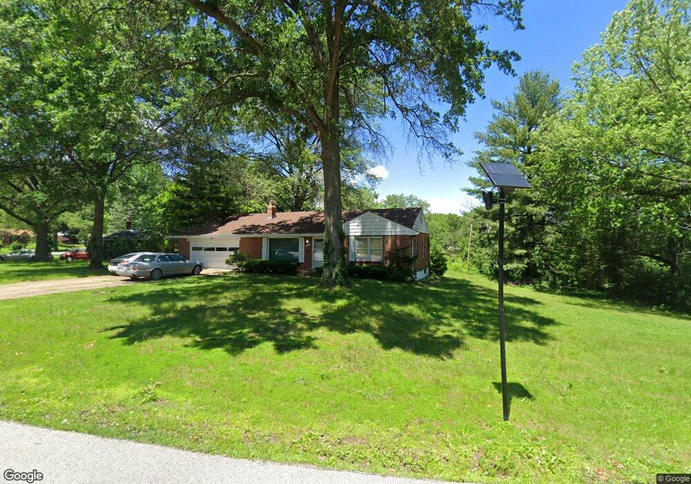
1401 Thatcher Ave Saint Louis, MO 63135
Estimated Value: $139,000 - $168,468
2
Beds
2
Baths
1,272
Sq Ft
$124/Sq Ft
Est. Value
About This Home
This home is located at 1401 Thatcher Ave, Saint Louis, MO 63135 and is currently estimated at $157,867, approximately $124 per square foot. 1401 Thatcher Ave is a home located in St. Louis County with nearby schools including Griffith Elementary School, Ferguson Middle School, and McCluer High School.
Ownership History
Date
Name
Owned For
Owner Type
Purchase Details
Closed on
Aug 15, 2013
Sold by
Piel Michael W
Bought by
Robinson Harvey
Current Estimated Value
Home Financials for this Owner
Home Financials are based on the most recent Mortgage that was taken out on this home.
Original Mortgage
$61,413
Outstanding Balance
$45,414
Interest Rate
4.25%
Mortgage Type
FHA
Estimated Equity
$112,453
Purchase Details
Closed on
Jun 26, 2002
Sold by
Warne Frances Marie
Bought by
Warne Frances M and Frances M Warne Revocable Living Trust
Create a Home Valuation Report for This Property
The Home Valuation Report is an in-depth analysis detailing your home's value as well as a comparison with similar homes in the area
Home Values in the Area
Average Home Value in this Area
Purchase History
| Date | Buyer | Sale Price | Title Company |
|---|---|---|---|
| Robinson Harvey | $64,900 | Us Title Main | |
| Warne Frances M | -- | -- |
Source: Public Records
Mortgage History
| Date | Status | Borrower | Loan Amount |
|---|---|---|---|
| Open | Robinson Harvey | $61,413 |
Source: Public Records
Tax History Compared to Growth
Tax History
| Year | Tax Paid | Tax Assessment Tax Assessment Total Assessment is a certain percentage of the fair market value that is determined by local assessors to be the total taxable value of land and additions on the property. | Land | Improvement |
|---|---|---|---|---|
| 2025 | $2,798 | $32,660 | $4,810 | $27,850 |
| 2024 | $2,798 | $29,070 | $6,000 | $23,070 |
| 2023 | $2,981 | $29,070 | $6,000 | $23,070 |
| 2022 | $2,379 | $20,480 | $3,840 | $16,640 |
| 2021 | $2,367 | $20,480 | $3,840 | $16,640 |
| 2020 | $2,386 | $19,420 | $4,660 | $14,760 |
| 2019 | $2,351 | $19,420 | $4,660 | $14,760 |
| 2018 | $1,794 | $13,570 | $3,520 | $10,050 |
| 2017 | $1,770 | $13,570 | $3,520 | $10,050 |
| 2016 | $1,589 | $12,340 | $2,760 | $9,580 |
| 2015 | $1,415 | $12,340 | $2,760 | $9,580 |
| 2014 | $1,421 | $16,230 | $3,820 | $12,410 |
Source: Public Records
Map
Nearby Homes
- 330 N Floridale Ave
- 324 N Floridale Ave
- 1372 Heydt Ave
- 1355 Stein Rd
- 309 N Floridale Ave
- 10140 Dellridge Ln
- 339 Wedge Dr
- 410 Argent Ave
- 10207 Tanner Dr
- 1400 Hudson Rd
- 10020 Dellridge Ln
- 10124 Tamworth Dr
- 1330 Chambers Rd
- 1209 Chambers Rd
- 10008 Lakemoor Dr
- 10126 Saffron Dr
- 9854 Dennis Dr
- 931 Thatcher Ave
- 10201 Doane Dr
- 9859 Vickie Place
- 1385 Thatcher Ave
- 1431 Thatcher Ave
- 1420 Thatcher Ave
- 1412 Kroeger Dr
- 1428 Thatcher Ave
- 1379 Thatcher Ave
- 1437 Thatcher Ave
- 10211 W Florissant Ave
- 1402 Kroeger Dr
- 1445 Thatcher Ave
- 1363 Kroeger Dr
- 1367 Thatcher Ave
- 1368 Kroeger Dr
- 10207 W Florissant Ave
- 1361 Thatcher Ave
- 10201 W Florissant Ave
- 1368 Thatcher Ave
- 1360 Kroeger Dr
- 1355 Kroeger Dr
- 1357 Thatcher Ave