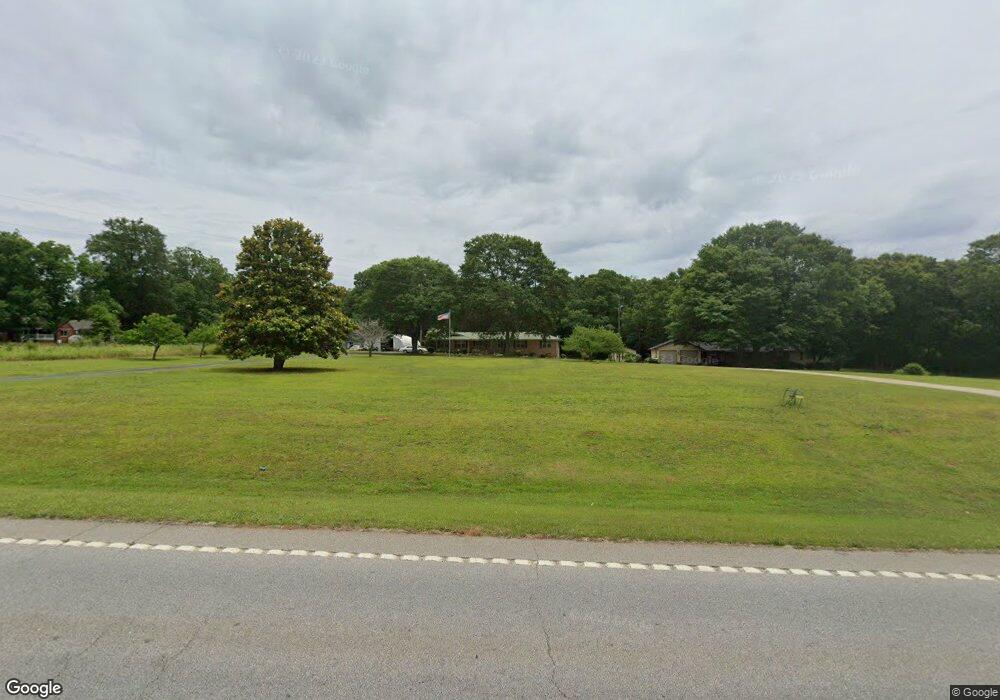
14011 Highway 36 Covington, GA 30014
Estimated Value: $274,152 - $348,000
--
Bed
2
Baths
1,693
Sq Ft
$187/Sq Ft
Est. Value
About This Home
This home is located at 14011 Highway 36, Covington, GA 30014 and is currently estimated at $316,288, approximately $186 per square foot. 14011 Highway 36 is a home located in Newton County with nearby schools including Heard-Mixon Elementary School, Indian Creek Middle School, and Alcovy High School.
Ownership History
Date
Name
Owned For
Owner Type
Purchase Details
Closed on
Jul 18, 2002
Sold by
Ridling Clara J and Ridling James R
Bought by
Mangham Dennis G and Mangham Sandra S
Current Estimated Value
Home Financials for this Owner
Home Financials are based on the most recent Mortgage that was taken out on this home.
Original Mortgage
$100,000
Outstanding Balance
$42,272
Interest Rate
6.67%
Mortgage Type
New Conventional
Estimated Equity
$274,016
Create a Home Valuation Report for This Property
The Home Valuation Report is an in-depth analysis detailing your home's value as well as a comparison with similar homes in the area
Home Values in the Area
Average Home Value in this Area
Purchase History
| Date | Buyer | Sale Price | Title Company |
|---|---|---|---|
| Mangham Dennis G | $129,000 | -- |
Source: Public Records
Mortgage History
| Date | Status | Borrower | Loan Amount |
|---|---|---|---|
| Open | Mangham Dennis G | $100,000 |
Source: Public Records
Tax History Compared to Growth
Tax History
| Year | Tax Paid | Tax Assessment Tax Assessment Total Assessment is a certain percentage of the fair market value that is determined by local assessors to be the total taxable value of land and additions on the property. | Land | Improvement |
|---|---|---|---|---|
| 2024 | -- | $98,320 | $15,000 | $83,320 |
| 2023 | $2,253 | $86,320 | $9,000 | $77,320 |
| 2022 | $2,253 | $74,280 | $9,000 | $65,280 |
| 2021 | $1,874 | $61,800 | $7,200 | $54,600 |
| 2020 | $1,855 | $59,120 | $6,400 | $52,720 |
| 2019 | $1,855 | $52,320 | $6,400 | $45,920 |
| 2018 | $220 | $42,040 | $6,400 | $35,640 |
| 2017 | $321 | $38,560 | $6,400 | $32,160 |
| 2016 | $321 | $38,560 | $6,400 | $32,160 |
| 2015 | $326 | $38,760 | $6,400 | $32,360 |
| 2014 | $323 | $38,760 | $0 | $0 |
Source: Public Records
Map
Nearby Homes
- 10 Stewart Hollow Ln
- 80 Stewart Hollow Ln
- 70 Stewart Hollow Ln
- 20 Hollow Ct
- 70 McDonald Rd
- 0 Newton Factory Bridge Rd Unit 7657995
- 0 Newton Factory Bridge Rd Unit 10615368
- 940 Newton Factory Bridge Rd
- 295 Digby Rd
- 686 Newton Factory Bridge Rd
- 180 Ascott Trace
- 10 Windbrooke Dr
- 240 Riverbrooke Rd
- 718 Fincher Rd
- 933 Fincher Rd
- 12421 Highway 36
- 14025 Highway 36
- 40 Mccart Cir
- 14055 Highway 36
- 14014 Highway 36
- 50 Mccart Cir
- 14032 Highway 36
- 80 Mccart Cir
- 14048 Highway 36
- 13928 Highway 36
- 13904 Highway 36
- 100 Mccart Cir
- 355 Scout Rd
- 13888 Highway 36
- 13866 Highway 36
- 0 Scout Rd Unit 20108155
- 0 Scout Rd Unit 7385092
- 0 Scout Rd Unit 3195526
- 0 Scout Rd Unit 8663028
- 0 Scout Rd Unit 8405667
- 0 Scout Rd Unit 8323908