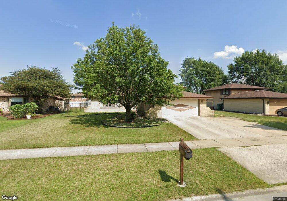
14011 Tod William Dr Unit 3 Orland Park, IL 60462
Silver Lake North NeighborhoodEstimated Value: $373,000 - $431,000
3
Beds
2
Baths
1,574
Sq Ft
$260/Sq Ft
Est. Value
About This Home
This home is located at 14011 Tod William Dr Unit 3, Orland Park, IL 60462 and is currently estimated at $409,285, approximately $260 per square foot. 14011 Tod William Dr Unit 3 is a home located in Cook County with nearby schools including Orland Park Elementary School, High Point Elementary School, and Orland Jr High School.
Ownership History
Date
Name
Owned For
Owner Type
Purchase Details
Closed on
Sep 9, 1994
Sold by
Mcdaniel Kenneth L and Mcdaniel Leslie D
Bought by
Murphy Donald J and Murphy Carol C
Current Estimated Value
Home Financials for this Owner
Home Financials are based on the most recent Mortgage that was taken out on this home.
Original Mortgage
$79,900
Interest Rate
8.62%
Create a Home Valuation Report for This Property
The Home Valuation Report is an in-depth analysis detailing your home's value as well as a comparison with similar homes in the area
Home Values in the Area
Average Home Value in this Area
Purchase History
| Date | Buyer | Sale Price | Title Company |
|---|---|---|---|
| Murphy Donald J | $190,000 | Attorneys Natl Title Network |
Source: Public Records
Mortgage History
| Date | Status | Borrower | Loan Amount |
|---|---|---|---|
| Closed | Murphy Donald J | $79,900 |
Source: Public Records
Tax History Compared to Growth
Tax History
| Year | Tax Paid | Tax Assessment Tax Assessment Total Assessment is a certain percentage of the fair market value that is determined by local assessors to be the total taxable value of land and additions on the property. | Land | Improvement |
|---|---|---|---|---|
| 2024 | $7,929 | $35,000 | $5,581 | $29,419 |
| 2023 | $6,011 | $35,000 | $5,581 | $29,419 |
| 2022 | $6,011 | $23,486 | $4,820 | $18,666 |
| 2021 | $5,831 | $23,485 | $4,820 | $18,665 |
| 2020 | $5,676 | $23,485 | $4,820 | $18,665 |
| 2019 | $6,020 | $25,362 | $4,312 | $21,050 |
| 2018 | $5,853 | $25,362 | $4,312 | $21,050 |
| 2017 | $5,737 | $25,362 | $4,312 | $21,050 |
| 2016 | $5,628 | $22,668 | $3,805 | $18,863 |
| 2015 | $5,539 | $22,668 | $3,805 | $18,863 |
| 2014 | $5,472 | $22,668 | $3,805 | $18,863 |
| 2013 | $5,492 | $24,059 | $3,805 | $20,254 |
Source: Public Records
Map
Nearby Homes
- 8820 W 140th St Unit 2A
- 14111 Tod William Dr
- 14040 Boxwood Ln
- 8932 Pebble Beach Ln
- 14216 Clearview Dr
- 8700 Berkley Ct
- 9114 W 140th St Unit 204
- 14304 Clearview Ct Unit 8904
- 9146 W 140th St Unit 3NE
- 14034 S 84th Ave
- 14345 S 87th Ave
- 8810 Clearview Dr Unit 8810
- 14340 Mason Ln
- 14350 Mason Ln
- 14453 S 88th Ave
- 14402 S 90th Ct Unit 1A
- 13550 86th Ave
- 14508 Maycliff Dr
- 13520 Idlewild Dr
- 8841 Briarwood Ln
- 14015 Tod William Dr
- 14001 Tod William Dr
- 14010 Terry Dr
- 14019 Tod William Dr
- 14014 Terry Dr Unit 3
- 14004 Terry Dr
- 14010 Tod William Dr
- 14018 Terry Dr
- 14014 Tod William Dr
- 8824 W 140th St Unit 303
- 8824 W 140th St Unit 203
- 8824 W 140th St Unit 104
- 8824 W 140th St Unit 304
- 8824 W 140th St Unit 204
- 8824 W 140th St Unit 103
- 8824 W 140th St Unit 3C
- 8824 W 140th St Unit 1D
- 8824 W 140th St Unit 2C
- 14025 Tod William Dr
- 14018 Tod William Dr