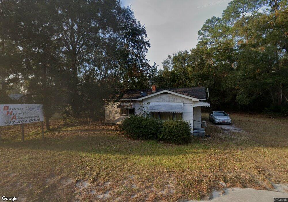
14013 Highway 82 St E Nahunta, GA 31553
Estimated Value: $53,763 - $172,000
Studio
--
Bath
1,166
Sq Ft
$80/Sq Ft
Est. Value
About This Home
This home is located at 14013 Highway 82 St E, Nahunta, GA 31553 and is currently estimated at $93,441, approximately $80 per square foot. 14013 Highway 82 St E is a home with nearby schools including Nahunta Primary School, Nahunta Elementary School, and Brantley County Middle School.
Ownership History
Date
Name
Owned For
Owner Type
Purchase Details
Closed on
Nov 26, 2007
Sold by
Rhoden Dennis Clayton
Bought by
Bennett Stetson F
Current Estimated Value
Purchase Details
Closed on
Mar 6, 2007
Sold by
Rowell Timothy Richard
Bought by
Rhoden Dennis Clayton
Home Financials for this Owner
Home Financials are based on the most recent Mortgage that was taken out on this home.
Original Mortgage
$20,000
Interest Rate
6.22%
Mortgage Type
New Conventional
Create a Home Valuation Report for This Property
The Home Valuation Report is an in-depth analysis detailing your home's value as well as a comparison with similar homes in the area
Purchase History
| Date | Buyer | Sale Price | Title Company |
|---|---|---|---|
| Bennett Stetson F | $17,500 | -- | |
| Rhoden Dennis Clayton | $26,000 | -- |
Source: Public Records
Mortgage History
| Date | Status | Borrower | Loan Amount |
|---|---|---|---|
| Previous Owner | Rhoden Dennis Clayton | $20,000 |
Source: Public Records
Tax History
| Year | Tax Paid | Tax Assessment Tax Assessment Total Assessment is a certain percentage of the fair market value that is determined by local assessors to be the total taxable value of land and additions on the property. | Land | Improvement |
|---|---|---|---|---|
| 2025 | $769 | $14,309 | $990 | $13,319 |
| 2024 | $696 | $12,525 | $2,400 | $10,125 |
| 2023 | $696 | $12,525 | $2,400 | $10,125 |
| 2022 | $703 | $12,525 | $2,400 | $10,125 |
| 2021 | $574 | $9,461 | $2,400 | $7,061 |
| 2020 | $577 | $9,461 | $2,400 | $7,061 |
| 2019 | $570 | $9,461 | $2,400 | $7,061 |
| 2018 | $451 | $9,461 | $2,400 | $7,061 |
| 2017 | $451 | $9,461 | $2,400 | $7,061 |
| 2016 | $573 | $9,461 | $2,400 | $7,061 |
| 2015 | -- | $9,461 | $2,400 | $7,061 |
Source: Public Records
Map
Nearby Homes
- 440 Brantley St
- 20.55 ACRES Highway 82
- 109 Rainge St
- 154 Avalon St
- 92 Ervin St
- 76 Ervin St
- 387 Burton St
- 584 Knox St
- 4561 Buffalo Creek Dr
- 0 Robin Ln
- 4432 Pembers Rd
- 29 Chisholm St
- 4452 Pembers Rd
- 1473 Chesser Ln
- 537 Seward Trail
- 7126 U S 301
- 193 Blackberry Rd
- 0 Riverside Rd Unit 25397127
- 14375 U S 301
- 0 Woodrow Ln
- 13987 Cleveland St E
- 13977 Cleveland St E
- 13977 Cleveland St E
- 13949 Cleveland St E
- 48 E Hughes St
- 135 Lewis St
- 13903 Cleveland St E
- 14 E Hughes St
- 112 Lewis St
- 74 Lewis St
- 115 Lewis St
- 271 Bryan St
- 113 Lewis St
- 0 Bryan St Unit 273231
- 235 Bryan St
- 126 Brantley St
- 109 Bryan St
- 108 Bryan St
- 120 Broome St
- 14225 Highway 301 N
Your Personal Tour Guide
Ask me questions while you tour the home.