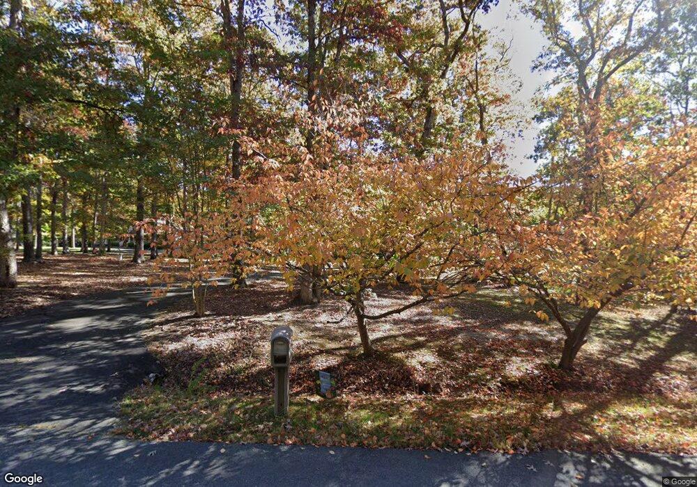
14015 Campaign Ct Fredericksburg, VA 22407
Chancellorsville NeighborhoodEstimated Value: $518,366 - $668,000
4
Beds
3
Baths
2,016
Sq Ft
$288/Sq Ft
Est. Value
About This Home
This home is located at 14015 Campaign Ct, Fredericksburg, VA 22407 and is currently estimated at $579,842, approximately $287 per square foot. 14015 Campaign Ct is a home located in Spotsylvania County with nearby schools including Chancellor Elementary School, Ni River Middle School, and Riverbend High School.
Ownership History
Date
Name
Owned For
Owner Type
Purchase Details
Closed on
Jul 27, 2005
Sold by
Baldwin Joseph R
Bought by
Davis Jeffrey L
Current Estimated Value
Home Financials for this Owner
Home Financials are based on the most recent Mortgage that was taken out on this home.
Original Mortgage
$320,000
Outstanding Balance
$168,208
Interest Rate
5.67%
Mortgage Type
New Conventional
Estimated Equity
$411,634
Purchase Details
Closed on
Jul 16, 2001
Sold by
Rucher Glen D
Bought by
Baldwin Joseph R
Home Financials for this Owner
Home Financials are based on the most recent Mortgage that was taken out on this home.
Original Mortgage
$218,350
Interest Rate
7.2%
Mortgage Type
Purchase Money Mortgage
Create a Home Valuation Report for This Property
The Home Valuation Report is an in-depth analysis detailing your home's value as well as a comparison with similar homes in the area
Home Values in the Area
Average Home Value in this Area
Purchase History
| Date | Buyer | Sale Price | Title Company |
|---|---|---|---|
| Davis Jeffrey L | $400,000 | -- | |
| Baldwin Joseph R | $215,000 | -- |
Source: Public Records
Mortgage History
| Date | Status | Borrower | Loan Amount |
|---|---|---|---|
| Open | Davis Jeffrey L | $320,000 | |
| Previous Owner | Baldwin Joseph R | $218,350 |
Source: Public Records
Tax History Compared to Growth
Tax History
| Year | Tax Paid | Tax Assessment Tax Assessment Total Assessment is a certain percentage of the fair market value that is determined by local assessors to be the total taxable value of land and additions on the property. | Land | Improvement |
|---|---|---|---|---|
| 2025 | $2,641 | $359,600 | $133,000 | $226,600 |
| 2024 | $2,630 | $358,100 | $133,000 | $225,100 |
| 2023 | $2,382 | $308,700 | $98,500 | $210,200 |
| 2022 | $2,277 | $308,700 | $98,500 | $210,200 |
| 2021 | $2,266 | $279,900 | $87,000 | $192,900 |
| 2020 | $2,266 | $279,900 | $87,000 | $192,900 |
| 2019 | $2,270 | $267,900 | $75,500 | $192,400 |
| 2018 | $2,232 | $267,900 | $75,500 | $192,400 |
| 2016 | $2,093 | $246,200 | $69,800 | $176,400 |
| 2015 | -- | $237,700 | $69,800 | $167,900 |
| 2014 | -- | $237,700 | $69,800 | $167,900 |
Source: Public Records
Map
Nearby Homes
- 8627 Rosni Way
- 14111 Us Ford Rd
- 8639 Rosni Way
- 8617 Rosni Way
- 14407 Spotswood Furnace Rd
- 8607 Rosni Way
- 8601 Rosni Way
- 13612 Perimeter Dr
- 13608 S General Slocum Ct
- 13515 Perimeter Dr
- 8801 General Couchs Ct
- 31 River Ridge Ln
- 14807 Spotswood Furnace Rd
- 825 Long Meadow Dr
- 813 Long Meadow Dr
- 15210 Lost Horizon Ln
- 15206 Lost Horizon Ln
- 13509 Kalmbacks Mill Dr
- 805 Long Meadow Dr
- 9435 Signature Way
- 14011 Campaign Ct
- 14017 Campaign Ct
- 14007 Campaign Ct
- 14021 Campaign Ct
- 14010 Campaign Ct
- 14003 Campaign Ct
- 14016 Campaign Ct
- 14025 Campaign Ct
- 14024 Campaign Ct
- 14210 Us Ford Rd
- 14020 Campaign Ct
- 14026 Campaign Ct
- 14140 Us Ford Rd
- 14132 Us Ford Rd
- 14224 Us Ford Rd
- 0 Campaign Ct Unit 1007072224
- 0 Campaign Ct Unit 1006931784
- 0 Campaign Ct Unit 1006775186
- 0 Campaign Ct Unit 1006418092
- 0 Campaign Ct Unit 1000826331
