14016 Mac Rd Prairie Grove, AR 72753
Estimated Value: $87,242 - $239,000
--
Bed
1
Bath
980
Sq Ft
$174/Sq Ft
Est. Value
About This Home
This home is located at 14016 Mac Rd, Prairie Grove, AR 72753 and is currently estimated at $170,061, approximately $173 per square foot. 14016 Mac Rd is a home located in Washington County with nearby schools including Prairie Grove Elementary School, Prairie Grove Middle School, and Prairie Grove Junior High School.
Ownership History
Date
Name
Owned For
Owner Type
Purchase Details
Closed on
Apr 10, 2007
Sold by
Deutsche Bank National Trust Co
Bought by
Miner Barney L
Current Estimated Value
Home Financials for this Owner
Home Financials are based on the most recent Mortgage that was taken out on this home.
Original Mortgage
$65,000
Interest Rate
6.19%
Mortgage Type
Construction
Purchase Details
Closed on
Jan 14, 2003
Sold by
Mckenzie Leroy and Sherry Paul
Bought by
Sherry Paul
Home Financials for this Owner
Home Financials are based on the most recent Mortgage that was taken out on this home.
Original Mortgage
$61,125
Interest Rate
11.95%
Mortgage Type
Purchase Money Mortgage
Purchase Details
Closed on
Apr 14, 1987
Bought by
Mckenzie Leroy and Mckenzie Frieda
Create a Home Valuation Report for This Property
The Home Valuation Report is an in-depth analysis detailing your home's value as well as a comparison with similar homes in the area
Home Values in the Area
Average Home Value in this Area
Purchase History
| Date | Buyer | Sale Price | Title Company |
|---|---|---|---|
| Miner Barney L | $35,000 | Service Link | |
| Sherry Paul | -- | First American Title Ins Co | |
| Mckenzie Leroy | -- | -- |
Source: Public Records
Mortgage History
| Date | Status | Borrower | Loan Amount |
|---|---|---|---|
| Closed | Miner Barney L | $65,000 | |
| Previous Owner | Sherry Paul | $61,125 |
Source: Public Records
Tax History Compared to Growth
Tax History
| Year | Tax Paid | Tax Assessment Tax Assessment Total Assessment is a certain percentage of the fair market value that is determined by local assessors to be the total taxable value of land and additions on the property. | Land | Improvement |
|---|---|---|---|---|
| 2025 | $340 | $9,770 | $9,010 | $760 |
| 2024 | $317 | $9,770 | $9,010 | $760 |
| 2023 | $300 | $9,770 | $9,010 | $760 |
| 2022 | $273 | $5,570 | $4,810 | $760 |
| 2021 | $273 | $5,570 | $4,810 | $760 |
| 2020 | $257 | $5,570 | $4,810 | $760 |
| 2019 | $236 | $4,770 | $4,010 | $760 |
| 2018 | $236 | $4,770 | $4,010 | $760 |
| 2017 | $233 | $4,770 | $4,010 | $760 |
| 2016 | $233 | $4,770 | $4,010 | $760 |
| 2015 | $283 | $4,770 | $4,010 | $760 |
| 2014 | $283 | $4,770 | $4,010 | $760 |
Source: Public Records
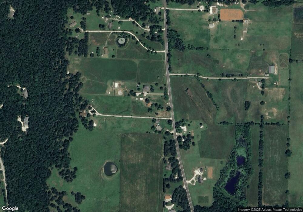
Map
Nearby Homes
- 12996 Rocky Hill (Wc 403) Rd
- 12786 Centerpoint Church Rd
- 13015 Rocky Hill Rd
- 12330 Centerpoint Church Rd
- 12283 Pine Tree Rd
- 12930 Baker Mountain Rd
- 0 Pine Tree Rd
- 11993 Ranchwood Rd
- 817 Spurgeon Ln
- 951 Sugar Loaf St
- 103 S Eagle Mountain St
- 11476 Centerpoint Church Rd
- 11.5 +/- AC Tract B Hwy 62 & Hogeye Rd
- 872 Round Top St
- 681 Kayla Marie St
- 827 Mueller Way
- 11.5 +/- AC Tract A Hwy 62 & Hogeye Rd
- 0 W Heritage Pkwy
- 4.66 +/- AC Tract 4 Hwy 62 & S Mock St
- 1001 Sagely St
- 12909 Hogeye Rd
- 14017 Mac Rd
- 13018 Hogeye Rd
- 13057 Hogeye Rd
- 14123 Mac Rd
- 12883 Hogeye Rd
- 12861 Hogeye Rd
- 13092 Hogeye Rd
- 12857 Hogeye Rd
- 12821 Hogeye Rd
- 13101 Hogeye Rd
- 12877 Hogeye Rd
- 12816 Hogeye Rd
- 12784 Hogeye Rd
- 12755 Hogeye Rd
- 13184 Cove Creek
- 12864 N Cove Creek Rd
- 12739 Hogeye Rd
- 13140 Hogeye Rd
- 13002 Cove Creek N