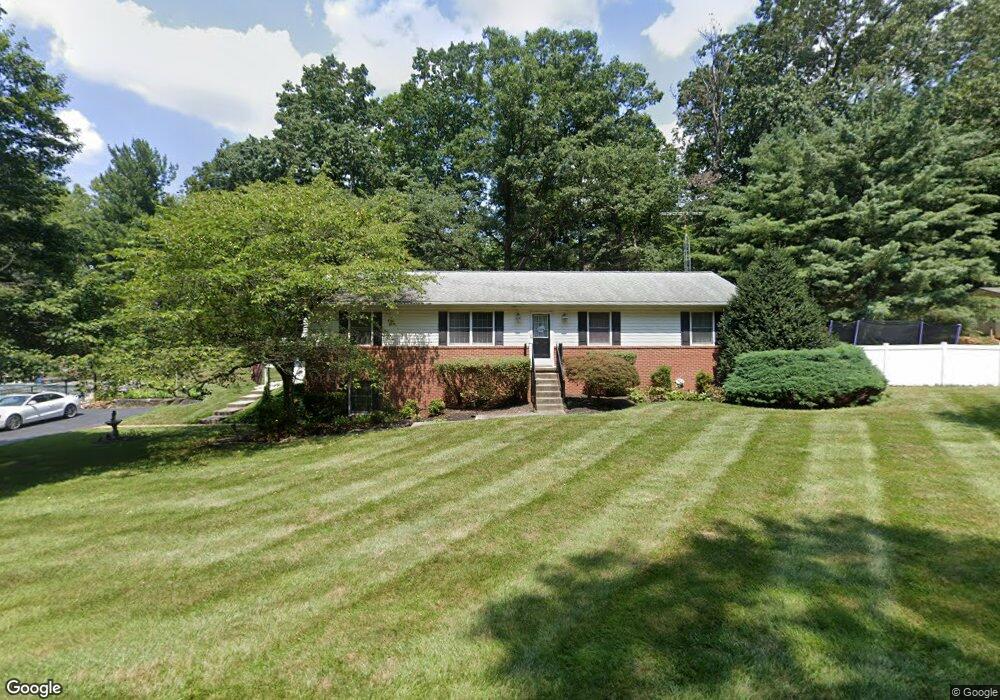
14018 Peddicord Rd Mount Airy, MD 21771
Estimated Value: $528,840 - $615,000
3
Beds
2
Baths
1,680
Sq Ft
$352/Sq Ft
Est. Value
About This Home
This home is located at 14018 Peddicord Rd, Mount Airy, MD 21771 and is currently estimated at $590,960, approximately $351 per square foot. 14018 Peddicord Rd is a home located in Frederick County with nearby schools including Twin Ridge Elementary School, Windsor Knolls Middle School, and Linganore High School.
Ownership History
Date
Name
Owned For
Owner Type
Purchase Details
Closed on
Aug 31, 2022
Sold by
Butz Jeremy F
Bought by
Radwan Omar Mohamed Nabi and Shander Arielle Larisa
Current Estimated Value
Purchase Details
Closed on
Nov 16, 2011
Sold by
Estate Of Richard G Foltz
Bought by
Smith Christopher O
Purchase Details
Closed on
Jun 8, 1992
Sold by
Stitely Lawrence A and Stitely Betty J
Bought by
Foltz Richard G
Create a Home Valuation Report for This Property
The Home Valuation Report is an in-depth analysis detailing your home's value as well as a comparison with similar homes in the area
Home Values in the Area
Average Home Value in this Area
Purchase History
| Date | Buyer | Sale Price | Title Company |
|---|---|---|---|
| Radwan Omar Mohamed Nabi | $195,400 | -- | |
| Nabi Radwan Omar Mohamed | $200,000 | -- | |
| Radwan Omar Mohamed Nabi | $195,400 | None Listed On Document | |
| Smith Christopher O | $274,900 | None Available | |
| Foltz Richard G | $47,000 | -- |
Source: Public Records
Tax History Compared to Growth
Tax History
| Year | Tax Paid | Tax Assessment Tax Assessment Total Assessment is a certain percentage of the fair market value that is determined by local assessors to be the total taxable value of land and additions on the property. | Land | Improvement |
|---|---|---|---|---|
| 2025 | $5,238 | $462,367 | -- | -- |
| 2024 | $5,238 | $433,500 | $149,200 | $284,300 |
| 2023 | $4,803 | $416,600 | $0 | $0 |
| 2022 | $4,584 | $399,700 | $0 | $0 |
| 2021 | $4,168 | $382,800 | $119,400 | $263,400 |
| 2020 | $4,168 | $359,433 | $0 | $0 |
| 2019 | $3,970 | $336,067 | $0 | $0 |
| 2018 | $3,813 | $312,700 | $119,400 | $193,300 |
| 2017 | $3,724 | $312,700 | $0 | $0 |
| 2016 | $3,290 | $303,100 | $0 | $0 |
| 2015 | $3,290 | $298,300 | $0 | $0 |
| 2014 | $3,290 | $291,833 | $0 | $0 |
Source: Public Records
Map
Nearby Homes
- 7407 Woodville Rd
- 7208 Wilson Rd
- 7309 Talbot Run Rd
- 6468-F General Dr Unit GREENRIDGE
- 6468-C General Dr Unit MILLBROOKE
- 6468-A General Dr Unit BURKE
- 6468-B General Dr Unit WALBERT
- 6468-E General Dr Unit MANOR
- 6468-D General Dr Unit BARTHOLOW
- 6460 General Dr Unit ASHCROFT
- 6468 Woodville Rd Unit WELLER
- 6452 General Dr Unit WALBERT
- 8730 Mapleville Rd
- 4417 Buffalo Rd
- 13201 Nittany Ct
- 3816 A Jim Smith Ln
- 0 New Windsor Rd Unit MDFR2073236
- 4004 Windermere Way
- 13330 Old Annapolis Rd
- 3720 Buffalo Rd
- 14097 Peddicord Rd
- 14102 Peddicord Rd
- 14106 Peddicord Rd
- 14007 Peddicord Rd
- 14105 Peddicord Rd
- 14112 Peddicord Rd
- 7657 Woodville Rd
- 14027 Peddicord Rd
- 14116 Peddicord Rd
- 14109 Peddicord Rd
- 7653 Woodville Rd
- 14110 Peddicord Rd
- 14118 Peddicord Rd
- 7649 Woodville Rd
- 14104 Peddicord Rd
- 14103 Peddicord Rd
- 14120 Peddicord Rd
- 14121 Peddicord Rd
- 7639 Woodville Rd
- 7635 Woodville Rd