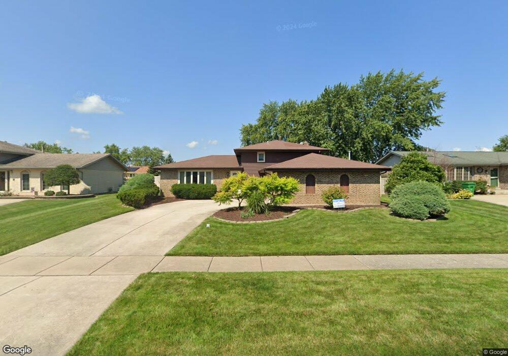
14018 Terry Dr Orland Park, IL 60462
Silver Lake North NeighborhoodEstimated Value: $383,000 - $449,000
3
Beds
2
Baths
1,393
Sq Ft
$295/Sq Ft
Est. Value
About This Home
This home is located at 14018 Terry Dr, Orland Park, IL 60462 and is currently estimated at $411,396, approximately $295 per square foot. 14018 Terry Dr is a home located in Cook County with nearby schools including Orland Park Elementary School, High Point Elementary School, and Orland Jr High School.
Ownership History
Date
Name
Owned For
Owner Type
Purchase Details
Closed on
Apr 26, 2002
Sold by
Seper William Albert and Seper Mary Ellen A
Bought by
Graczyk Jason J and Graczyk Joanne E
Current Estimated Value
Home Financials for this Owner
Home Financials are based on the most recent Mortgage that was taken out on this home.
Original Mortgage
$202,500
Outstanding Balance
$87,370
Interest Rate
7.24%
Estimated Equity
$324,026
Create a Home Valuation Report for This Property
The Home Valuation Report is an in-depth analysis detailing your home's value as well as a comparison with similar homes in the area
Home Values in the Area
Average Home Value in this Area
Purchase History
| Date | Buyer | Sale Price | Title Company |
|---|---|---|---|
| Graczyk Jason J | $225,000 | Chicago Title Insurance Co |
Source: Public Records
Mortgage History
| Date | Status | Borrower | Loan Amount |
|---|---|---|---|
| Open | Graczyk Jason J | $202,500 |
Source: Public Records
Tax History Compared to Growth
Tax History
| Year | Tax Paid | Tax Assessment Tax Assessment Total Assessment is a certain percentage of the fair market value that is determined by local assessors to be the total taxable value of land and additions on the property. | Land | Improvement |
|---|---|---|---|---|
| 2024 | $7,930 | $35,000 | $5,500 | $29,500 |
| 2023 | $6,463 | $35,000 | $5,500 | $29,500 |
| 2022 | $6,463 | $24,994 | $4,750 | $20,244 |
| 2021 | $6,267 | $24,994 | $4,750 | $20,244 |
| 2020 | $6,096 | $24,994 | $4,750 | $20,244 |
| 2019 | $5,937 | $25,058 | $4,250 | $20,808 |
| 2018 | $5,772 | $25,058 | $4,250 | $20,808 |
| 2017 | $5,956 | $26,200 | $4,250 | $21,950 |
| 2016 | $5,605 | $22,585 | $3,750 | $18,835 |
| 2015 | $5,516 | $22,585 | $3,750 | $18,835 |
| 2014 | $5,450 | $22,585 | $3,750 | $18,835 |
| 2013 | $5,465 | $23,952 | $3,750 | $20,202 |
Source: Public Records
Map
Nearby Homes
- 8820 W 140th St Unit 2A
- 14040 Boxwood Ln
- 14111 Tod William Dr
- 8932 Pebble Beach Ln
- 8700 Berkley Ct
- 14216 Clearview Dr
- 8603 W 142nd St
- 14034 S 84th Ave
- 14304 Clearview Ct Unit 8904
- 9114 W 140th St Unit 204
- 14345 S 87th Ave
- 8810 Clearview Dr Unit 8810
- 9146 W 140th St Unit 3NE
- 14453 S 88th Ave
- 13550 86th Ave
- 14508 Maycliff Dr
- 14340 Mason Ln
- 14350 Mason Ln
- 14402 S 90th Ct Unit 1A
- 8841 Briarwood Ln
- 14014 Terry Dr Unit 3
- 14024 Terry Dr
- 14019 Tod William Dr
- 14010 Terry Dr
- 14015 Tod William Dr
- 14025 Tod William Dr
- 14028 Terry Dr
- 14019 Terry Dr
- 14011 Tod William Dr Unit 3
- 14015 Terry Dr
- 14025 Terry Dr
- 14029 Tod William Dr
- 14011 Terry Dr
- 14004 Terry Dr
- 14029 Terry Dr
- 14032 Terry Dr
- 14001 Tod William Dr
- 14005 Terry Dr
- 14033 Tod William Dr
- 14018 Tod William Dr