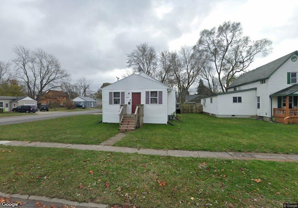
1402 Bancroft St Port Huron, MI 48060
Estimated Value: $117,000 - $139,000
3
Beds
1
Bath
1,086
Sq Ft
$117/Sq Ft
Est. Value
About This Home
This home is located at 1402 Bancroft St, Port Huron, MI 48060 and is currently estimated at $126,674, approximately $116 per square foot. 1402 Bancroft St is a home located in St. Clair County with nearby schools including Woodrow Wilson Elementary School, Central Middle School, and Port Huron High School.
Ownership History
Date
Name
Owned For
Owner Type
Purchase Details
Closed on
May 1, 2024
Sold by
Bodeis Michael L
Bought by
Carrothers Nicole
Current Estimated Value
Purchase Details
Closed on
Apr 21, 2022
Sold by
Bodeis Michael L
Bought by
Bodeis Michael L
Purchase Details
Closed on
Dec 3, 2010
Sold by
Bodeis Michael L and Bodeis Gaye G
Bought by
Bodeis Michael L
Create a Home Valuation Report for This Property
The Home Valuation Report is an in-depth analysis detailing your home's value as well as a comparison with similar homes in the area
Home Values in the Area
Average Home Value in this Area
Purchase History
| Date | Buyer | Sale Price | Title Company |
|---|---|---|---|
| Carrothers Nicole | -- | None Listed On Document | |
| Bodeis Michael L | -- | Touma Watson Whaling Coury & S | |
| Bodeis Michael L | -- | None Listed On Document | |
| Bodeis Michael L | -- | None Available |
Source: Public Records
Tax History Compared to Growth
Tax History
| Year | Tax Paid | Tax Assessment Tax Assessment Total Assessment is a certain percentage of the fair market value that is determined by local assessors to be the total taxable value of land and additions on the property. | Land | Improvement |
|---|---|---|---|---|
| 2025 | $1,129 | $45,900 | $0 | $0 |
| 2024 | $900 | $43,400 | $0 | $0 |
| 2023 | $1,191 | $38,400 | $0 | $0 |
| 2022 | $1,146 | $31,800 | $0 | $0 |
| 2021 | $1,094 | $27,000 | $0 | $0 |
| 2020 | $1,099 | $23,800 | $23,800 | $0 |
| 2019 | $1,079 | $16,900 | $0 | $0 |
| 2018 | $1,055 | $16,900 | $0 | $0 |
| 2017 | $969 | $15,900 | $0 | $0 |
| 2016 | $853 | $15,900 | $0 | $0 |
| 2015 | $894 | $15,800 | $15,800 | $0 |
| 2014 | $894 | $16,600 | $16,600 | $0 |
| 2013 | -- | $18,400 | $0 | $0 |
Source: Public Records
Map
Nearby Homes
- 1322 Division St
- 1325 Division St
- 1309 Division St
- 1127 Minnie St
- 1112 Minnie St
- 1624 15th St
- 1831 11th St
- 1610 16th St
- 1132 Griswold St
- 1917 Minnie St
- 1207 White St
- 1413 14th St
- 1103 White St
- 831 Bancroft St
- 1815 Griswold St
- 1426 18th St
- 926 Griswold St
- 000 10th St
- 1425 18th St
- 1403 Catherine McAuley Dr
- 1410 Bancroft St
- 1414 Bancroft St
- 1340 Bancroft St
- 1420 Bancroft St
- 1411 Bancroft St
- 1403 Bancroft St
- 2016 14th St
- 1424 Bancroft St
- 1334 Bancroft St
- 1333 Bancroft St
- 1415 Cypress St
- 1417 Bancroft St
- 1339 Bancroft St
- 2024 14th St
- 1428 Bancroft St
- 1913 14th St
- 1412 Minnie St
- 1419 Bancroft St
- 1322 Bancroft St
- 1329 Cypress St