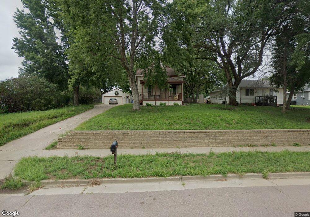
1402 E Bennett St Sioux Falls, SD 57103
Downtown Sioux Falls NeighborhoodEstimated Value: $177,000 - $207,000
2
Beds
2
Baths
1,048
Sq Ft
$183/Sq Ft
Est. Value
About This Home
This home is located at 1402 E Bennett St, Sioux Falls, SD 57103 and is currently estimated at $192,136, approximately $183 per square foot. 1402 E Bennett St is a home located in Minnehaha County with nearby schools including Laura B. Anderson Elementary School, Whittier Middle School, and Lincoln High School.
Ownership History
Date
Name
Owned For
Owner Type
Purchase Details
Closed on
Sep 2, 2020
Sold by
Karsten Robert Dean and Karsten Lori M
Bought by
Ludewig Kylee E and Walker Jordan G
Current Estimated Value
Home Financials for this Owner
Home Financials are based on the most recent Mortgage that was taken out on this home.
Original Mortgage
$0
Interest Rate
2.8%
Mortgage Type
Undefined Multiple Amounts
Create a Home Valuation Report for This Property
The Home Valuation Report is an in-depth analysis detailing your home's value as well as a comparison with similar homes in the area
Home Values in the Area
Average Home Value in this Area
Purchase History
| Date | Buyer | Sale Price | Title Company |
|---|---|---|---|
| Ludewig Kylee E | $115,500 | Getty Abstract & Title Co |
Source: Public Records
Mortgage History
| Date | Status | Borrower | Loan Amount |
|---|---|---|---|
| Closed | Ludewig Kylee E | $0 | |
| Open | Ludewig Kylee E | $113,014 |
Source: Public Records
Tax History
| Year | Tax Paid | Tax Assessment Tax Assessment Total Assessment is a certain percentage of the fair market value that is determined by local assessors to be the total taxable value of land and additions on the property. | Land | Improvement |
|---|---|---|---|---|
| 2024 | $2,318 | $160,000 | $27,200 | $132,800 |
| 2023 | $2,000 | $133,100 | $14,600 | $118,500 |
| 2022 | $1,873 | $117,100 | $14,600 | $102,500 |
| 2021 | $1,412 | $96,300 | $0 | $0 |
| 2020 | $1,412 | $82,300 | $0 | $0 |
| 2019 | $1,442 | $83,143 | $0 | $0 |
| 2018 | $1,304 | $79,557 | $0 | $0 |
| 2017 | $1,226 | $75,138 | $19,360 | $55,778 |
| 2016 | $1,226 | $70,375 | $19,360 | $51,015 |
| 2015 | $1,230 | $68,224 | $17,209 | $51,015 |
| 2014 | $1,186 | $68,224 | $17,209 | $51,015 |
Source: Public Records
Map
Nearby Homes
- 1303 E Iris Place
- 1507 N Highland Ave
- 1715 E Mulberry St
- 1915 N Mable Ave
- 1022 N van Eps Ave
- 1016 N Mable Cir
- 930 N Sherman Ave
- 819 N Cliff Ave
- 1724 E Tracy Ln
- 1912 E Spruce St
- 2012 E Tracy Ln
- 829 N van Eps Ave
- 904 N Highland Ave
- 921 N Chicago Ave
- 719 N Sherman Ave
- 712 N Highland Ave
- 700 N Mable Ave
- 2109 E 1st St
- 524 N Cliff Ave
- 519 N Wayland Ave
- 1404 E Bennett St
- 1406 E Bennett St
- 1400 E Bennett St
- 1401 E Russell St
- 1411 E Russell St
- 1408 E Bennett St
- 1401 E Bennett St
- 1405 E Bennett St
- 1410 E Bennett St
- 1409 E Russell St
- 1319 E Russell St
- 1311 E Bennett St
- 1407 E Bennett St
- 1306 E Bennett St
- 1315 E Russell St
- 1527 N Wayland Ave
- 1529 N Wayland Ave
- 1309 E Bennett St
- 1304 E Bennett St
- 1531 N Wayland Ave
Your Personal Tour Guide
Ask me questions while you tour the home.