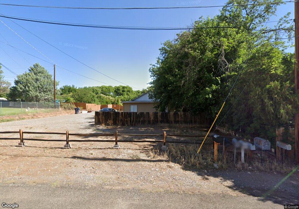
1402 E Navajo St Cottonwood, AZ 86326
Cottonwood NeighborhoodEstimated Value: $129,000 - $217,000
2
Beds
1
Bath
704
Sq Ft
$248/Sq Ft
Est. Value
About This Home
This home is located at 1402 E Navajo St, Cottonwood, AZ 86326 and is currently estimated at $174,845, approximately $248 per square foot. 1402 E Navajo St is a home located in Yavapai County with nearby schools including Cottonwood Elementary School, Dr Daniel Bright Elementary School, and Cottonwood Community School.
Ownership History
Date
Name
Owned For
Owner Type
Purchase Details
Closed on
Apr 25, 2016
Sold by
Schwend Curtis
Bought by
Rbe Llc
Current Estimated Value
Purchase Details
Closed on
Dec 28, 2011
Sold by
Fannie Mae
Bought by
Schwend Curtis
Purchase Details
Closed on
Oct 13, 2011
Sold by
Phh Mortgage Corporation
Bought by
Federal National Mortgage Association
Purchase Details
Closed on
Jan 19, 1999
Sold by
Ortiz Tonya L
Bought by
Ortiz Robert A and Ortiz Tonya L
Home Financials for this Owner
Home Financials are based on the most recent Mortgage that was taken out on this home.
Original Mortgage
$45,963
Interest Rate
6.63%
Purchase Details
Closed on
Jul 19, 1993
Sold by
Autin David T and Austin Carolee Ann
Bought by
Ortiz Robert A and Glenn Tonya L
Create a Home Valuation Report for This Property
The Home Valuation Report is an in-depth analysis detailing your home's value as well as a comparison with similar homes in the area
Home Values in the Area
Average Home Value in this Area
Purchase History
| Date | Buyer | Sale Price | Title Company |
|---|---|---|---|
| Rbe Llc | $85,000 | Lawyers Title Yavapai | |
| Schwend Curtis | $25,000 | Pioneer Title Agency Inc | |
| Federal National Mortgage Association | -- | First American National Defa | |
| Phh Mortgage Corporation | $37,235 | First American National Defa | |
| Ortiz Robert A | -- | Transnation Title Ins Co | |
| Ortiz Tonya L | -- | Transnation Title Ins Co | |
| Ortiz Robert A | -- | Yavapai Title Company |
Source: Public Records
Mortgage History
| Date | Status | Borrower | Loan Amount |
|---|---|---|---|
| Previous Owner | Ortiz Tonya L | $45,963 |
Source: Public Records
Tax History Compared to Growth
Tax History
| Year | Tax Paid | Tax Assessment Tax Assessment Total Assessment is a certain percentage of the fair market value that is determined by local assessors to be the total taxable value of land and additions on the property. | Land | Improvement |
|---|---|---|---|---|
| 2026 | $396 | $9,815 | -- | -- |
| 2024 | $389 | $9,689 | -- | -- |
| 2023 | $389 | $7,603 | $2,002 | $5,601 |
| 2022 | $387 | $5,953 | $1,313 | $4,640 |
| 2021 | $408 | $5,843 | $1,587 | $4,256 |
| 2020 | $405 | $0 | $0 | $0 |
| 2019 | $402 | $0 | $0 | $0 |
| 2018 | $388 | $0 | $0 | $0 |
| 2017 | $373 | $0 | $0 | $0 |
| 2016 | $365 | $0 | $0 | $0 |
| 2015 | $302 | $0 | $0 | $0 |
| 2014 | $268 | $0 | $0 | $0 |
Source: Public Records
Map
Nearby Homes
- 902 N 14th St
- 635 N Main St
- 1630 E Coconino St Unit 37
- 1203 E Cochise St
- 607 N 8th St
- 1040 E Mingus Unit C Ave Unit C
- 1013 E Mingus Ave
- 985 E Mingus Ave Unit 624
- 318 E Pinal St
- 707 E Mingus Ave
- 677 E Mingus Ave
- 925 N 2nd St
- 0 E Aspen St
- 107 E Pinal St
- 280 S Main St
- 565 N Willard Dr
- 1008 N Main St
- 1065 Crenshaw
- 1123 N Main St
- 775 N Verde Heights Dr