1402 Granary Rd Reading, PA 19608
Whitfield NeighborhoodEstimated Value: $572,000 - $843,000
4
Beds
4
Baths
4,277
Sq Ft
$162/Sq Ft
Est. Value
About This Home
This home is located at 1402 Granary Rd, Reading, PA 19608 and is currently estimated at $694,886, approximately $162 per square foot. 1402 Granary Rd is a home located in Berks County with nearby schools including Spring Ridge Elementary School, Wilson West Middle School, and Wilson High School.
Ownership History
Date
Name
Owned For
Owner Type
Purchase Details
Closed on
Jun 6, 2008
Sold by
Kreider Stephen R and Kreider Alan S
Bought by
Zapata William A and Zapata Rena
Current Estimated Value
Home Financials for this Owner
Home Financials are based on the most recent Mortgage that was taken out on this home.
Original Mortgage
$417,000
Outstanding Balance
$276,250
Interest Rate
6.11%
Mortgage Type
Construction
Estimated Equity
$418,636
Create a Home Valuation Report for This Property
The Home Valuation Report is an in-depth analysis detailing your home's value as well as a comparison with similar homes in the area
Home Values in the Area
Average Home Value in this Area
Purchase History
| Date | Buyer | Sale Price | Title Company |
|---|---|---|---|
| Zapata William A | $145,000 | None Available |
Source: Public Records
Mortgage History
| Date | Status | Borrower | Loan Amount |
|---|---|---|---|
| Open | Zapata William A | $417,000 |
Source: Public Records
Tax History Compared to Growth
Tax History
| Year | Tax Paid | Tax Assessment Tax Assessment Total Assessment is a certain percentage of the fair market value that is determined by local assessors to be the total taxable value of land and additions on the property. | Land | Improvement |
|---|---|---|---|---|
| 2025 | $3,673 | $248,800 | $123,000 | $125,800 |
| 2024 | $10,645 | $248,800 | $123,000 | $125,800 |
| 2023 | $13,767 | $337,700 | $123,000 | $214,700 |
| 2022 | $13,429 | $337,700 | $123,000 | $214,700 |
| 2021 | $12,957 | $337,700 | $123,000 | $214,700 |
| 2020 | $12,957 | $337,700 | $123,000 | $214,700 |
| 2019 | $12,588 | $337,700 | $123,000 | $214,700 |
| 2018 | $12,480 | $337,700 | $123,000 | $214,700 |
| 2017 | $12,269 | $337,700 | $123,000 | $214,700 |
| 2016 | $3,515 | $337,700 | $123,000 | $214,700 |
| 2015 | $3,515 | $337,700 | $123,000 | $214,700 |
| 2014 | $3,515 | $337,700 | $123,000 | $214,700 |
Source: Public Records
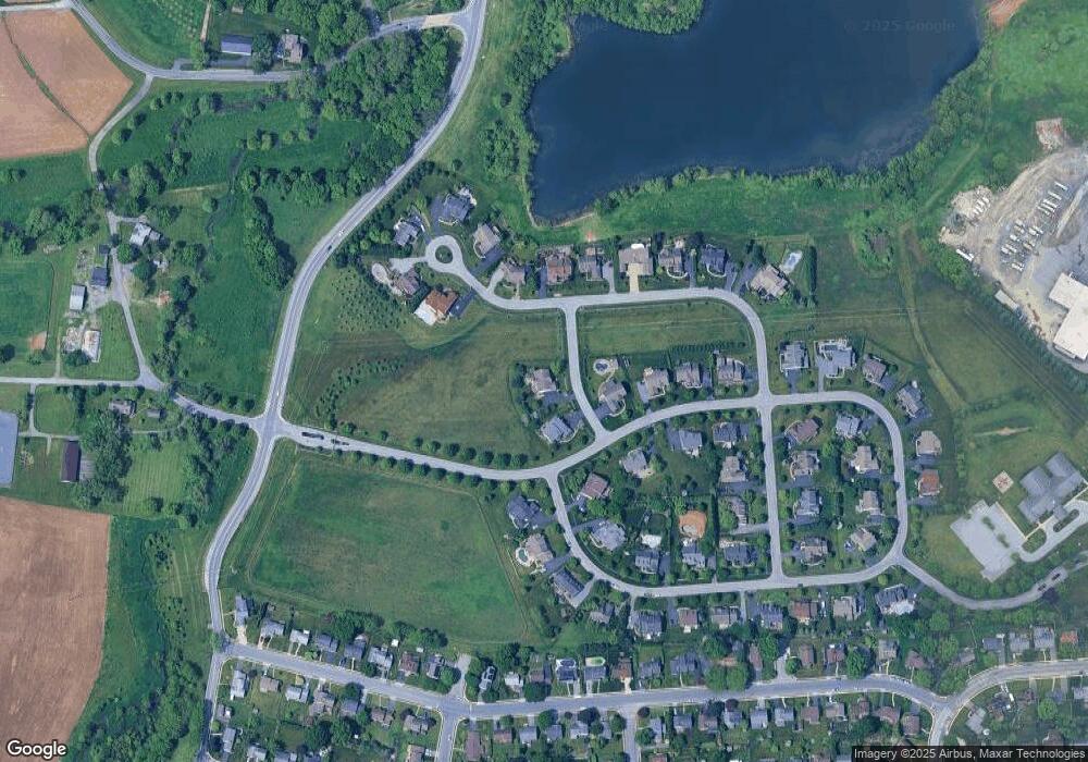
Map
Nearby Homes
- 2943 Reedy Rd
- 204 Springmont Dr
- 164 Oberlin Ave
- 2035 Franklin Place
- 150 Laurel Ct Unit 150A
- 118 Laurel Ct Unit 118B
- 3029 Grandview Blvd
- 120 Laurel Ct Unit 120A
- 163 Thomas Place
- 191 Hawthorne Ct Unit 191A
- 179 Hawthorne Ct Unit 179A
- 2912 State Hill Rd Unit B-2
- 2900 State Hill Rd Unit I12
- 802 Apple Dr
- 3411 Penn Ave
- 3413 Penn Ave
- 1077 Ryebrook Rd
- 125 Grandview Blvd
- 121 Grandview Blvd
- 35 Pacific Ave
- 1400 Granary Rd
- 1407 Springhouse Rd
- 0 Springhouse Rd
- 0 Stone Ridge Rd Unit 5328786
- 0 Stone Ridge Rd Unit 1008455202
- 1405 Springhouse Rd
- 1409 Fieldstone Rd
- 1414 Fieldstone Rd
- 1413 Stone Ridge Rd
- 1415 Stone Ridge Rd
- 1425 Stone Ridge Rd
- 1404 Springhouse Rd
- 1411 Stone Ridge Rd
- 1403 Springhouse Rd
- 1403 Springhouse Rd Unit 34
- 1407 Fieldstone Rd
- 1409 Stone Ridge Rd
- 1417 Stone Ridge Rd
- 1402 Springhouse Rd
- 1412 Fieldstone Rd