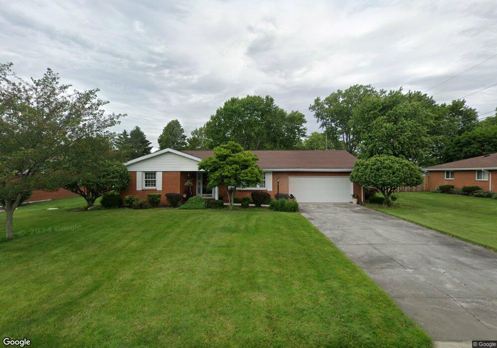
1402 Laurel Dr Fostoria, OH 44830
Estimated Value: $187,000 - $195,000
3
Beds
2
Baths
1,528
Sq Ft
$125/Sq Ft
Est. Value
About This Home
This home is located at 1402 Laurel Dr, Fostoria, OH 44830 and is currently estimated at $191,191, approximately $125 per square foot. 1402 Laurel Dr is a home located in Wood County with nearby schools including Fostoria Intermediate Elementary School and Fostoria Junior/Senior High School.
Ownership History
Date
Name
Owned For
Owner Type
Purchase Details
Closed on
Feb 25, 2000
Sold by
Below Dennis L and Below Karen F
Bought by
Bowling Joan M
Current Estimated Value
Home Financials for this Owner
Home Financials are based on the most recent Mortgage that was taken out on this home.
Original Mortgage
$80,000
Outstanding Balance
$26,957
Interest Rate
8.21%
Estimated Equity
$164,234
Purchase Details
Closed on
Jun 23, 1988
Bought by
Below Dennis L
Create a Home Valuation Report for This Property
The Home Valuation Report is an in-depth analysis detailing your home's value as well as a comparison with similar homes in the area
Home Values in the Area
Average Home Value in this Area
Purchase History
| Date | Buyer | Sale Price | Title Company |
|---|---|---|---|
| Bowling Joan M | $110,000 | -- | |
| Below Dennis L | $68,000 | -- |
Source: Public Records
Mortgage History
| Date | Status | Borrower | Loan Amount |
|---|---|---|---|
| Open | Bowling Joan M | $80,000 |
Source: Public Records
Tax History Compared to Growth
Tax History
| Year | Tax Paid | Tax Assessment Tax Assessment Total Assessment is a certain percentage of the fair market value that is determined by local assessors to be the total taxable value of land and additions on the property. | Land | Improvement |
|---|---|---|---|---|
| 2024 | $1,890 | $46,445 | $6,125 | $40,320 |
| 2023 | $1,890 | $46,450 | $6,130 | $40,320 |
| 2021 | $1,716 | $34,730 | $5,360 | $29,370 |
| 2020 | $1,744 | $34,730 | $5,360 | $29,370 |
| 2019 | $1,502 | $29,860 | $5,360 | $24,500 |
| 2018 | $1,519 | $29,860 | $5,360 | $24,500 |
| 2017 | $1,512 | $29,860 | $5,360 | $24,500 |
| 2016 | $1,412 | $28,290 | $5,080 | $23,210 |
| 2015 | $1,412 | $28,290 | $5,080 | $23,210 |
| 2014 | $1,472 | $28,290 | $5,080 | $23,210 |
| 2013 | $1,674 | $29,790 | $5,360 | $24,430 |
Source: Public Records
Map
Nearby Homes
- 4509 N US Highway 23
- 375 Thomas St
- 442 Union Ct
- 1324 N Union St
- 901 Central Ave
- 435 Park Ave
- 207 W Culbertson St
- 900 N Countyline St
- 892 N Countyline St
- 931 N Union St
- 603 Alma Dr
- 723 N Union St
- 211 Summit St
- 603 N Vine St
- 827 Buckley St
- 633 Maple St
- 520 N Union St
- 1401 Van Buren St
- 425 W Ridge Dr
- 418 W Ridge Dr
- 1420 Laurel Dr
- 1384 Laurel Dr
- 1411 Morningside Dr
- 1385 Morningside Dr
- 1427 Morningside Dr
- 2620 Brookside Dr
- 1405 Laurel Dr
- 1425 Laurel Dr
- 1366 Laurel Dr
- 1387 Laurel Dr
- 1361 Morningside Dr
- 1451 Morningside Dr
- 1369 Laurel Dr
- 1348 Laurel Dr
- 1347 Morningside Dr
- 1410 Morningside Dr
- 2649 Brookside Dr
- 1382 Brookside Dr
- 2637 Brookside Dr
- 1386 Morningside Dr