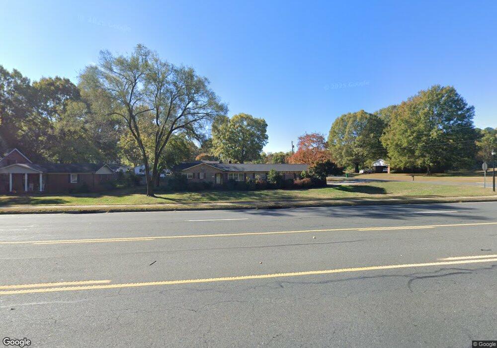
1402 Main St E Locust, NC 28097
Estimated Value: $302,778 - $367,000
3
Beds
2
Baths
1,625
Sq Ft
$202/Sq Ft
Est. Value
About This Home
This home is located at 1402 Main St E, Locust, NC 28097 and is currently estimated at $327,945, approximately $201 per square foot. 1402 Main St E is a home located in Stanly County with nearby schools including Locust Elementary School, West Stanly Middle School, and West Stanly High School.
Ownership History
Date
Name
Owned For
Owner Type
Purchase Details
Closed on
Oct 24, 2025
Sold by
Wade Patricia Anne and Wade Michael K
Bought by
Conard Carrie Ann
Current Estimated Value
Home Financials for this Owner
Home Financials are based on the most recent Mortgage that was taken out on this home.
Original Mortgage
$205,000
Outstanding Balance
$202,784
Interest Rate
5.5%
Mortgage Type
New Conventional
Estimated Equity
$125,161
Purchase Details
Closed on
Oct 31, 2014
Sold by
Estate Of Elsa Alice Warren Bowman and Sells Katie
Bought by
Wade Michael K and Wade Patricia Anne
Create a Home Valuation Report for This Property
The Home Valuation Report is an in-depth analysis detailing your home's value as well as a comparison with similar homes in the area
Home Values in the Area
Average Home Value in this Area
Purchase History
| Date | Buyer | Sale Price | Title Company |
|---|---|---|---|
| Conard Carrie Ann | $270,000 | None Listed On Document | |
| Wade Michael K | $117,000 | None Available | |
| Sells Katie | -- | None Available |
Source: Public Records
Mortgage History
| Date | Status | Borrower | Loan Amount |
|---|---|---|---|
| Open | Conard Carrie Ann | $205,000 |
Source: Public Records
Tax History
| Year | Tax Paid | Tax Assessment Tax Assessment Total Assessment is a certain percentage of the fair market value that is determined by local assessors to be the total taxable value of land and additions on the property. | Land | Improvement |
|---|---|---|---|---|
| 2025 | $2,019 | $219,465 | $30,275 | $189,190 |
| 2024 | $1,621 | $148,755 | $18,165 | $130,590 |
| 2023 | $1,741 | $148,755 | $18,165 | $130,590 |
| 2022 | $1,727 | $148,755 | $18,165 | $130,590 |
| 2021 | $1,712 | $148,755 | $18,165 | $130,590 |
| 2020 | $1,439 | $117,977 | $15,137 | $102,840 |
| 2019 | $1,453 | $117,977 | $15,137 | $102,840 |
| 2018 | $1,333 | $117,977 | $15,137 | $102,840 |
| 2017 | $1,333 | $117,977 | $15,137 | $102,840 |
| 2016 | $1,311 | $115,977 | $13,623 | $102,354 |
| 2015 | $1,424 | $115,977 | $13,623 | $102,354 |
| 2014 | $1,474 | $123,831 | $13,623 | $110,208 |
Source: Public Records
Map
Nearby Homes
- 142 Flame Azalea Ct
- 201 N Beverly Dr
- 106 Marlwood Dr
- 700 Elm St
- 135 Water Oak Ln
- 206 Delancy St
- 213 Vanderbilt Blvd
- 213 Delancy St
- 319 N Central Ave
- 288 Harrison Ln
- 105 Berea Baptist Church Rd
- 103 Berea Baptist Church Rd
- 17826 Brattain Rd
- 117 Danita Dr
- 27 Berea Baptist Church Rd
- 211 Amber Glen Dr
- 117 Battery Dr
- 556 Big Lick Rd
- 417 Kiser Ln
- 708 Redah Ave
Your Personal Tour Guide
Ask me questions while you tour the home.