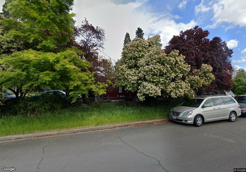
1402 Morrow Rd Medford, OR 97504
Estimated Value: $356,000 - $514,000
3
Beds
2
Baths
1,308
Sq Ft
$352/Sq Ft
Est. Value
About This Home
This home is located at 1402 Morrow Rd, Medford, OR 97504 and is currently estimated at $460,117, approximately $351 per square foot. 1402 Morrow Rd is a home located in Jackson County with nearby schools including Wilson Elementary School, Hedrick Middle School, and North Medford High School.
Ownership History
Date
Name
Owned For
Owner Type
Purchase Details
Closed on
Jun 29, 2007
Sold by
Dunphy Marion O P and Dunphy James P
Bought by
Delgado Josue Garcia and Delgado Janet L
Current Estimated Value
Home Financials for this Owner
Home Financials are based on the most recent Mortgage that was taken out on this home.
Original Mortgage
$188,676
Outstanding Balance
$117,064
Interest Rate
6.36%
Mortgage Type
Purchase Money Mortgage
Estimated Equity
$343,053
Purchase Details
Closed on
Nov 17, 2000
Sold by
Dunphy James P and Dunphy Marion Oleta
Bought by
Dunphy James P and Dunphy Marion O
Create a Home Valuation Report for This Property
The Home Valuation Report is an in-depth analysis detailing your home's value as well as a comparison with similar homes in the area
Home Values in the Area
Average Home Value in this Area
Purchase History
| Date | Buyer | Sale Price | Title Company |
|---|---|---|---|
| Delgado Josue Garcia | $235,845 | Ticor Title | |
| Dunphy James P | -- | -- |
Source: Public Records
Mortgage History
| Date | Status | Borrower | Loan Amount |
|---|---|---|---|
| Open | Delgado Josue Garcia | $188,676 |
Source: Public Records
Tax History Compared to Growth
Tax History
| Year | Tax Paid | Tax Assessment Tax Assessment Total Assessment is a certain percentage of the fair market value that is determined by local assessors to be the total taxable value of land and additions on the property. | Land | Improvement |
|---|---|---|---|---|
| 2025 | $4,490 | $309,600 | $69,950 | $239,650 |
| 2024 | $4,490 | $300,590 | $67,910 | $232,680 |
| 2023 | $4,352 | $291,840 | $65,930 | $225,910 |
| 2022 | $4,246 | $291,840 | $65,930 | $225,910 |
| 2021 | $4,137 | $283,340 | $64,010 | $219,330 |
| 2020 | $4,049 | $275,090 | $62,140 | $212,950 |
| 2019 | $3,954 | $259,310 | $58,560 | $200,750 |
| 2018 | $3,852 | $251,760 | $56,860 | $194,900 |
| 2017 | $3,783 | $251,760 | $56,860 | $194,900 |
| 2016 | $3,793 | $237,320 | $53,600 | $183,720 |
| 2015 | $3,506 | $216,090 | $120,020 | $96,070 |
| 2014 | $3,313 | $207,100 | $111,190 | $95,910 |
Source: Public Records
Map
Nearby Homes
- 3626 Ford Dr
- 1512 Nordic Ct
- 1220 Morrow Rd
- 1448 Carolyn Cir
- 1212 Morrow Rd
- 1202 Morrow Rd Unit A
- 1588 Nordic Ct
- 2217 Jubilant Ave
- 1225 Corona Ave
- 1228 Corona Ave
- 1411 E McAndrews Rd
- 1215 Covina Ave
- 1744 Concord Way
- 2481 Northcrest Cir
- 2000 Brookhurst St Unit 2
- 2000 Brookhurst St Unit 1
- 1441 Larkspur Ave
- 2030 Brookhurst St Unit 28
- 1049 Beatty St
- 2010 Crater Lake Ave