1402 S Cedar Grove Blvd Columbia, MO 65201
Estimated Value: $638,994 - $758,000
4
Beds
5
Baths
4,157
Sq Ft
$172/Sq Ft
Est. Value
About This Home
This home is located at 1402 S Cedar Grove Blvd, Columbia, MO 65201 and is currently estimated at $715,749, approximately $172 per square foot. 1402 S Cedar Grove Blvd is a home located in Boone County with nearby schools including Cedar Ridge Elementary School, Oakland Middle School, and Muriel W. Battle High School.
Ownership History
Date
Name
Owned For
Owner Type
Purchase Details
Closed on
Apr 21, 2022
Sold by
Irish Carol Sue
Bought by
Rackers Matthew
Current Estimated Value
Home Financials for this Owner
Home Financials are based on the most recent Mortgage that was taken out on this home.
Original Mortgage
$525,000
Outstanding Balance
$491,017
Interest Rate
3.85%
Mortgage Type
New Conventional
Estimated Equity
$224,732
Create a Home Valuation Report for This Property
The Home Valuation Report is an in-depth analysis detailing your home's value as well as a comparison with similar homes in the area
Home Values in the Area
Average Home Value in this Area
Purchase History
| Date | Buyer | Sale Price | Title Company |
|---|---|---|---|
| Rackers Matthew | -- | Boone Central Title | |
| Rackers Matthew | -- | Boone Central Title |
Source: Public Records
Mortgage History
| Date | Status | Borrower | Loan Amount |
|---|---|---|---|
| Open | Rackers Matthew | $525,000 | |
| Closed | Rackers Matthew | $525,000 |
Source: Public Records
Tax History Compared to Growth
Tax History
| Year | Tax Paid | Tax Assessment Tax Assessment Total Assessment is a certain percentage of the fair market value that is determined by local assessors to be the total taxable value of land and additions on the property. | Land | Improvement |
|---|---|---|---|---|
| 2025 | $3,072 | $91,846 | $7,106 | $84,740 |
| 2024 | $3,072 | $42,484 | $6,042 | $36,442 |
| 2023 | $3,046 | $42,484 | $6,042 | $36,442 |
| 2022 | $2,818 | $39,330 | $6,042 | $33,288 |
| 2021 | $2,822 | $39,330 | $6,042 | $33,288 |
| 2020 | $2,769 | $36,423 | $6,042 | $30,381 |
| 2019 | $2,769 | $36,423 | $6,042 | $30,381 |
| 2018 | $2,580 | $0 | $0 | $0 |
| 2017 | $2,547 | $33,725 | $6,042 | $27,683 |
| 2016 | $2,547 | $33,725 | $6,042 | $27,683 |
| 2015 | $2,352 | $33,725 | $6,042 | $27,683 |
| 2014 | -- | $33,725 | $6,042 | $27,683 |
Source: Public Records
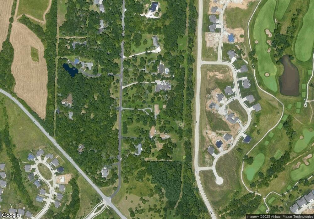
Map
Nearby Homes
- 5402 Wild Horse Ct
- 1303 Morning Dove Dr
- 1301 Morning Dove Dr
- 5012 Kenora Dr
- 1108 Shore Acres Loop
- 1050 Shore Acres Loop
- 5004 Stone Mountain Pkwy
- 5703 Bower Ln
- 4917 Longbow Dr
- 4910 Stone Mountain Pkwy
- 1209 Marcassin Dr
- 1811 Trellis Ln
- 4903 Stone Mountain Pkwy
- 2001 Stone Mountain Pkwy
- 4801 Hoylake Cir
- 1108 Shadow Hawk Ct
- 1104 Shadow Hawk Ct
- 4805 Hoylake Cir
- 4720 Kenora Dr
- 1459 Spring Mountain Dr
- 1400 S Cedar Grove Blvd
- 1404 S Cedar Grove Blvd
- 1360 S Cedar Grove Blvd
- 1406 S Cedar Grove Blvd
- 5401 Wild Horse Ct
- 5403 Wild Horse Ct
- 1505 Morning Dove Dr
- 1330 S Cedar Grove Blvd
- 1503 Morning Dove Dr
- 1507 Morning Dove Dr
- 5405 Wild Horse Ct
- 1211 Shallow Ridge Cir
- 1501 Morning Dove Dr
- 1305 Morning Dove Dr
- 5404 Wild Horse Ct
- 1209 Shallow Ridge Cir
- 1363 S Cedar Grove Blvd
- 1409 S Cedar Grove Blvd
- 1601 Morning Dove Ct
- 1407 S Cedar Grove Blvd