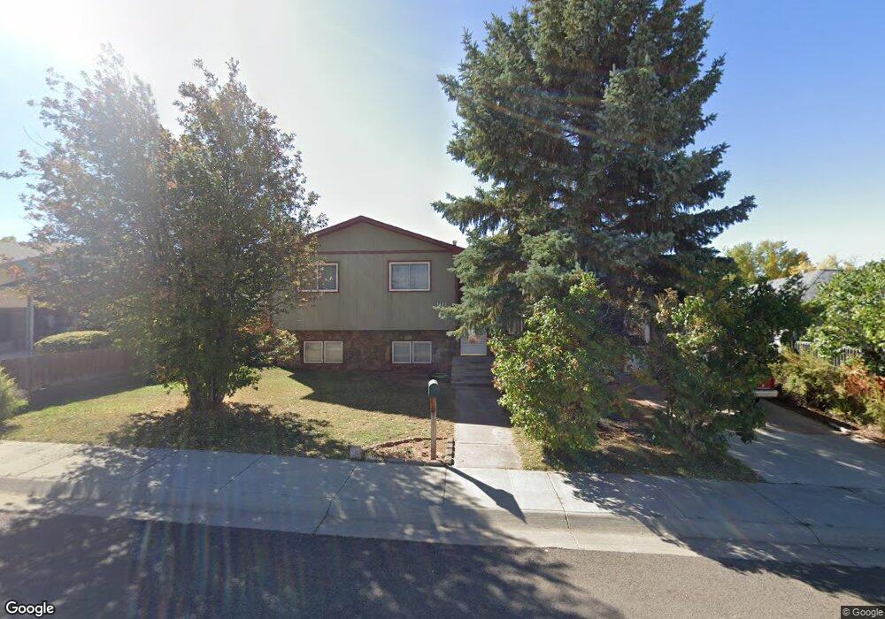
1402 Thomes St Laramie, WY 82072
Estimated Value: $394,000 - $414,000
4
Beds
3
Baths
1,304
Sq Ft
$311/Sq Ft
Est. Value
About This Home
This home is located at 1402 Thomes St, Laramie, WY 82072 and is currently estimated at $405,931, approximately $311 per square foot. 1402 Thomes St is a home located in Albany County with nearby schools including Slade Elementary School, Laramie Middle School, and Laramie High School.
Ownership History
Date
Name
Owned For
Owner Type
Purchase Details
Closed on
May 19, 2006
Sold by
Hysong William W and Hysong Stephanie M
Bought by
Gray Stephen R and Gray Robin D
Current Estimated Value
Home Financials for this Owner
Home Financials are based on the most recent Mortgage that was taken out on this home.
Original Mortgage
$211,850
Outstanding Balance
$122,695
Interest Rate
6.4%
Mortgage Type
New Conventional
Estimated Equity
$283,236
Create a Home Valuation Report for This Property
The Home Valuation Report is an in-depth analysis detailing your home's value as well as a comparison with similar homes in the area
Home Values in the Area
Average Home Value in this Area
Purchase History
| Date | Buyer | Sale Price | Title Company |
|---|---|---|---|
| Gray Stephen R | -- | -- |
Source: Public Records
Mortgage History
| Date | Status | Borrower | Loan Amount |
|---|---|---|---|
| Open | Gray Stephen R | $211,850 |
Source: Public Records
Tax History Compared to Growth
Tax History
| Year | Tax Paid | Tax Assessment Tax Assessment Total Assessment is a certain percentage of the fair market value that is determined by local assessors to be the total taxable value of land and additions on the property. | Land | Improvement |
|---|---|---|---|---|
| 2025 | $2,430 | $25,964 | $3,504 | $22,460 |
| 2024 | $2,430 | $33,287 | $4,492 | $28,795 |
| 2023 | $2,349 | $32,180 | $4,492 | $27,688 |
| 2022 | $2,141 | $29,332 | $4,492 | $24,840 |
| 2021 | $1,840 | $25,203 | $3,942 | $21,261 |
| 2020 | $1,736 | $23,774 | $3,942 | $19,832 |
| 2019 | $1,585 | $21,709 | $3,316 | $18,393 |
| 2018 | $1,611 | $22,069 | $3,316 | $18,753 |
| 2017 | $1,480 | $20,272 | $3,316 | $16,956 |
| 2016 | $1,461 | $20,019 | $3,316 | $16,703 |
| 2015 | $1,450 | $19,864 | $3,560 | $16,304 |
| 2014 | $1,302 | $17,831 | $0 | $0 |
Source: Public Records
Map
Nearby Homes
- 1320 Beaufort St
- 2167 N 16th St
- 1725 E Beaufort St
- 1515 Beaufort St
- 1520 W Hill Rd
- 1402 Mitchell St
- 721 Mill St
- 727 Beaufort St
- 2458 N 9th St Unit B22
- 2458 N 9th St Unit B 61
- 716 Mitchell St
- 535 Mitchell St Unit C-5
- 1675 N 6th St Unit 1
- 1257 N 15th St Unit H
- 1259 N 15th St Unit G
- 1251 N 15th St Unit J
- 507 Mitchell St Unit J-6
- 530 Beaufort St Unit 135
- 530 Beaufort St Unit 131
- 530 Beaufort St Unit 2
- 1326 Thomes St
- 1408 Thomes St
- 1403 Thomes St
- 1320 Thomes St
- 1327 Thomes St
- 1409 Thomes St
- 1414 Thomes St
- 1321 Renshaw St
- 1314 Thomes St
- 1403 Renshaw St
- 1409 Renshaw St
- 1415 Thomes St
- 1321 Thomes St
- 1315 Renshaw St
- 1420 Thomes St
- 1308 Thomes St
- 1315 Thomes St
- 1309 Renshaw St
- 1421 Thomes St
- 1408 Mill St