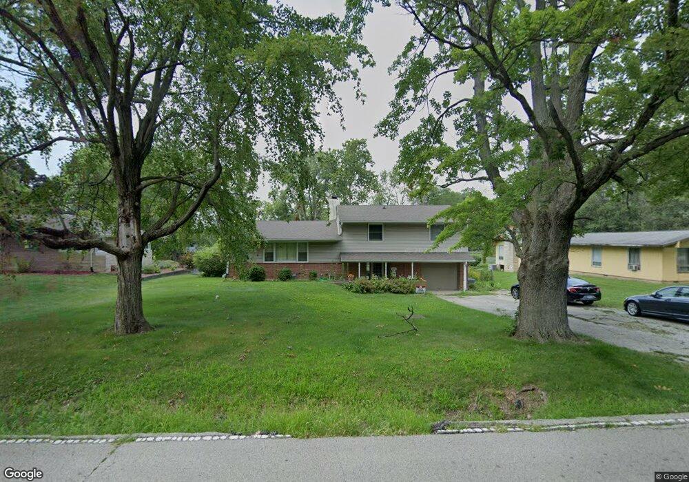
1402 W Pershing Rd Decatur, IL 62526
Greendell NeighborhoodEstimated Value: $136,000 - $184,000
--
Bed
1
Bath
1,344
Sq Ft
$118/Sq Ft
Est. Value
About This Home
This home is located at 1402 W Pershing Rd, Decatur, IL 62526 and is currently estimated at $158,619, approximately $118 per square foot. 1402 W Pershing Rd is a home located in Macon County with nearby schools including Warrensburg-Latham Elementary School, Warrensburg-Latham Middle School, and Warrensburg-Latham High School.
Ownership History
Date
Name
Owned For
Owner Type
Purchase Details
Closed on
Jun 30, 2010
Sold by
Lynch Dean C and Lynch Kathy J
Bought by
Thomas Jason C and Thomas Jennifer R D
Current Estimated Value
Home Financials for this Owner
Home Financials are based on the most recent Mortgage that was taken out on this home.
Original Mortgage
$123,339
Outstanding Balance
$84,102
Interest Rate
5.25%
Mortgage Type
FHA
Estimated Equity
$74,517
Create a Home Valuation Report for This Property
The Home Valuation Report is an in-depth analysis detailing your home's value as well as a comparison with similar homes in the area
Home Values in the Area
Average Home Value in this Area
Purchase History
| Date | Buyer | Sale Price | Title Company |
|---|---|---|---|
| Thomas Jason C | $125,000 | None Available |
Source: Public Records
Mortgage History
| Date | Status | Borrower | Loan Amount |
|---|---|---|---|
| Open | Thomas Jason C | $123,339 |
Source: Public Records
Tax History Compared to Growth
Tax History
| Year | Tax Paid | Tax Assessment Tax Assessment Total Assessment is a certain percentage of the fair market value that is determined by local assessors to be the total taxable value of land and additions on the property. | Land | Improvement |
|---|---|---|---|---|
| 2024 | $4,279 | $50,525 | $4,774 | $45,751 |
| 2023 | $3,952 | $46,447 | $4,389 | $42,058 |
| 2022 | $3,713 | $43,078 | $4,071 | $39,007 |
| 2021 | $3,620 | $41,025 | $3,807 | $37,218 |
| 2020 | $3,514 | $40,177 | $3,729 | $36,448 |
| 2019 | $3,514 | $40,177 | $3,729 | $36,448 |
| 2018 | $4,104 | $40,465 | $3,756 | $36,709 |
| 2017 | $4,110 | $40,284 | $3,739 | $36,545 |
| 2016 | $4,163 | $40,381 | $3,748 | $36,633 |
| 2015 | $4,061 | $39,903 | $3,704 | $36,199 |
| 2014 | $3,713 | $39,903 | $3,704 | $36,199 |
| 2013 | $3,569 | $37,366 | $3,469 | $33,897 |
Source: Public Records
Map
Nearby Homes
- 1302 W Pershing Rd
- 1487 W Glenn Dr
- 2848 N Primrose Ln
- 3235 N Susan Dr
- 3333 N University Ave
- 3321 N Oakland Ave
- 2273 N Fairview Ave
- 1607 W Melrose Ct
- 2127 Riedel Ave
- 1110 Woodridge Ct
- 1720 W Ravina Park Rd
- 1474 Meadowview Dr
- 1120 Meadowview Dr
- 2281 N Summit Ave
- 2404 N Longwood Dr
- 2222 Sands Dr
- 1929 W Ravina Park Rd
- 2094 N Dennis Ave
- 2320 N Kenwood Ct
- 2480 N Graceland Ave
- 1382 W Pershing Rd
- 1410 W Pershing Rd
- 1434 W Pershing Rd
- 1362 W Pershing Rd
- 1417 W Pershing Rd
- 1444 W Pershing Rd
- 1391 W Pershing Rd
- 1354 W Pershing Rd
- 1427 W Pershing Rd
- 1407 W Glenn Dr
- 1371 W Pershing Rd
- 1437 W Pershing Rd
- 1384 Illinois 121
- 1384 N Route 121
- 1437 W Glenn Dr
- 1454 W Pershing Rd
- 1351 W Pershing Rd
- 1447 W Pershing Rd
- 1313 W Pershing Rd
- 1314 Illinois 121