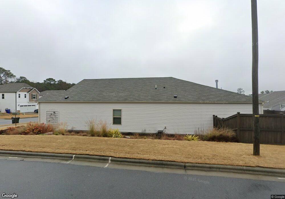
1402 Wrenn Rd Durham, NC 27703
Bethesda NeighborhoodEstimated Value: $516,000 - $526,000
3
Beds
3
Baths
2,168
Sq Ft
$240/Sq Ft
Est. Value
About This Home
This home is located at 1402 Wrenn Rd, Durham, NC 27703 and is currently estimated at $519,615, approximately $239 per square foot. 1402 Wrenn Rd is a home with nearby schools including Bethesda Elementary School, John W Neal Middle School, and Southern School of Energy & Sustainability.
Ownership History
Date
Name
Owned For
Owner Type
Purchase Details
Closed on
Nov 19, 2020
Sold by
Meritage Homes Of The Carolinas Inc
Bought by
Gunn William B and Ledbetter Leila S
Current Estimated Value
Home Financials for this Owner
Home Financials are based on the most recent Mortgage that was taken out on this home.
Original Mortgage
$320,528
Outstanding Balance
$285,224
Interest Rate
2.8%
Mortgage Type
New Conventional
Estimated Equity
$234,391
Purchase Details
Closed on
Jul 6, 2020
Sold by
Ellis Road Residential Lp
Bought by
Meritage Homes Of The Carolinas Inc
Create a Home Valuation Report for This Property
The Home Valuation Report is an in-depth analysis detailing your home's value as well as a comparison with similar homes in the area
Home Values in the Area
Average Home Value in this Area
Purchase History
| Date | Buyer | Sale Price | Title Company |
|---|---|---|---|
| Gunn William B | $401,000 | None Available | |
| Meritage Homes Of The Carolinas Inc | $420,000 | None Available |
Source: Public Records
Mortgage History
| Date | Status | Borrower | Loan Amount |
|---|---|---|---|
| Open | Gunn William B | $320,528 |
Source: Public Records
Tax History Compared to Growth
Tax History
| Year | Tax Paid | Tax Assessment Tax Assessment Total Assessment is a certain percentage of the fair market value that is determined by local assessors to be the total taxable value of land and additions on the property. | Land | Improvement |
|---|---|---|---|---|
| 2025 | $5,275 | $532,089 | $121,220 | $410,869 |
| 2024 | $4,611 | $330,539 | $81,340 | $249,199 |
| 2023 | $4,330 | $330,539 | $81,340 | $249,199 |
| 2022 | $4,231 | $330,539 | $81,340 | $249,199 |
| 2021 | $4,211 | $330,539 | $81,340 | $249,199 |
| 2020 | $1,012 | $81,340 | $81,340 | $0 |
| 2019 | $1,012 | $81,340 | $81,340 | $0 |
Source: Public Records
Map
Nearby Homes
- 1012 Freeport Dr
- 1007 Depot Dr
- 1118 Commack Dr
- 3908 Cash Rd
- 1508 Stone Rd
- 1610 Stone Rd
- 917 Lippincott Rd
- 905 Lippincott Rd
- 29 Edgebrook Cir
- 3857 Angier Ave
- 11 Suncrest Ct
- 3642 Star Gazing Ln
- 33 Sharpstone Ln
- 3112 Star Gazing Ln
- 1172 Pate Farm Ln
- 3210 Opal Dr
- 3212 Opal Dr
- 3214 Opal Dr
- 3216 Opal Dr
- 3222 Opal Dr