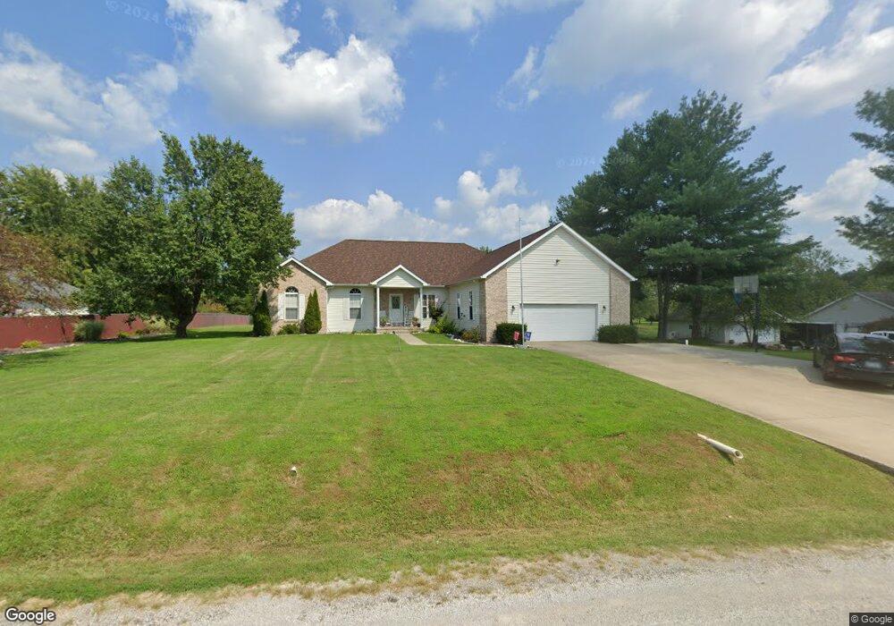
14020 N Shepherd Ln Mount Vernon, IL 62864
Estimated Value: $370,000 - $433,000
--
Bed
--
Bath
--
Sq Ft
1
Acres
About This Home
This home is located at 14020 N Shepherd Ln, Mount Vernon, IL 62864 and is currently estimated at $403,354. 14020 N Shepherd Ln is a home located in Jefferson County with nearby schools including Bluford Grade School.
Ownership History
Date
Name
Owned For
Owner Type
Purchase Details
Closed on
Apr 21, 2010
Sold by
Hiner Michael R and Hiner Audrey L
Bought by
Prost Brian and Prost Tiffany
Current Estimated Value
Home Financials for this Owner
Home Financials are based on the most recent Mortgage that was taken out on this home.
Original Mortgage
$193,500
Outstanding Balance
$129,005
Interest Rate
5.02%
Mortgage Type
New Conventional
Estimated Equity
$274,349
Create a Home Valuation Report for This Property
The Home Valuation Report is an in-depth analysis detailing your home's value as well as a comparison with similar homes in the area
Home Values in the Area
Average Home Value in this Area
Purchase History
| Date | Buyer | Sale Price | Title Company |
|---|---|---|---|
| Prost Brian | $215,000 | None Available |
Source: Public Records
Mortgage History
| Date | Status | Borrower | Loan Amount |
|---|---|---|---|
| Open | Prost Brian | $193,500 |
Source: Public Records
Tax History Compared to Growth
Tax History
| Year | Tax Paid | Tax Assessment Tax Assessment Total Assessment is a certain percentage of the fair market value that is determined by local assessors to be the total taxable value of land and additions on the property. | Land | Improvement |
|---|---|---|---|---|
| 2024 | $6,936 | $128,277 | $3,149 | $125,128 |
| 2023 | $6,055 | $104,195 | $2,795 | $101,400 |
| 2022 | $5,851 | $99,870 | $2,452 | $97,418 |
| 2021 | $5,548 | $95,114 | $2,335 | $92,779 |
| 2020 | $5,247 | $88,891 | $2,182 | $86,709 |
| 2019 | $5,238 | $81,050 | $2,182 | $78,868 |
| 2018 | $5,531 | $81,050 | $2,182 | $78,868 |
| 2017 | $5,572 | $81,050 | $2,182 | $78,868 |
| 2016 | $5,555 | $81,050 | $2,182 | $78,868 |
| 2015 | $5,241 | $81,050 | $2,182 | $78,868 |
| 2014 | $4,598 | $81,050 | $2,182 | $78,868 |
| 2013 | $4,598 | $67,604 | $1,820 | $65,784 |
Source: Public Records
Map
Nearby Homes
- 17794 E Fairfield Rd
- 14768 N Harmony Ln
- 18562 E Hill St
- 19413 Illinois 15
- 475 N Dartmouth Ln
- 0000 N Stanford Ln
- TBD Birdie Dr
- 0000 N Maysville Ln
- 000 N Clear Ln
- 16530 E Fairfield Rd
- 16514 E Fairfield Rd
- 16807 E Kendall Rd
- 14322 N Memory Ln
- 601 Marteeny St
- 415 Marteeny St
- 1021 Fairfield Rd
- 909 & 905 Fairfield Rd
- 820 White Ave
- 0000 4th St
- 820 Airport Rd
- 14010 N Shepherd Ln
- 18325 Illinois 15
- 18325 E Il Highway 15
- 18245 E Il Highway 15
- 14023 N Shepherd Ln
- 18357 E Il Highway 15
- 18357 Illinois 15
- 18342 E Sandpiper Rd
- 18165 E Sandpiper Rd
- 14181 N Manhattan Ln
- 18374 E Sandpiper Rd
- 18383 E Il Highway 15
- 14209 N Manhattan Ln
- 14194 N Shepherd Ln
- 14180 N Manhattan Ln
- 14205 McRaven Ln
- 14230 N Manhattan Lots 1 & 6 Unit Lots
- 14230 N Manhattan Lots 1 & 6
- 14230 Manhattan Lots Unit Lots
- 13855 N Shepherd Ln