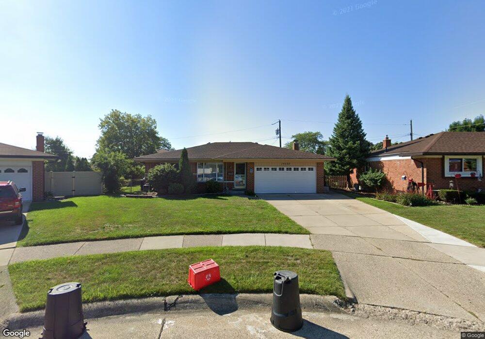
14022 Ken Ct Warren, MI 48088
Northeast Warren NeighborhoodEstimated Value: $262,000 - $292,000
3
Beds
3
Baths
1,591
Sq Ft
$173/Sq Ft
Est. Value
About This Home
This home is located at 14022 Ken Ct, Warren, MI 48088 and is currently estimated at $275,395, approximately $173 per square foot. 14022 Ken Ct is a home located in Macomb County with nearby schools including Warren Woods Tower High School, Warren Woods Christian School, and Warren SDA Junior Academy.
Ownership History
Date
Name
Owned For
Owner Type
Purchase Details
Closed on
Jun 11, 2021
Sold by
Peake Don A
Bought by
Wolfe Chelsea and Gladki Matthew
Current Estimated Value
Home Financials for this Owner
Home Financials are based on the most recent Mortgage that was taken out on this home.
Original Mortgage
$199,820
Outstanding Balance
$180,912
Interest Rate
2.9%
Mortgage Type
New Conventional
Estimated Equity
$94,483
Purchase Details
Closed on
Dec 15, 1994
Sold by
Edna L Makarewicz Est
Bought by
Peake Don A
Create a Home Valuation Report for This Property
The Home Valuation Report is an in-depth analysis detailing your home's value as well as a comparison with similar homes in the area
Home Values in the Area
Average Home Value in this Area
Purchase History
| Date | Buyer | Sale Price | Title Company |
|---|---|---|---|
| Wolfe Chelsea | $206,000 | Colonial Title Company | |
| Peake Don A | $89,000 | -- |
Source: Public Records
Mortgage History
| Date | Status | Borrower | Loan Amount |
|---|---|---|---|
| Open | Wolfe Chelsea | $199,820 |
Source: Public Records
Tax History Compared to Growth
Tax History
| Year | Tax Paid | Tax Assessment Tax Assessment Total Assessment is a certain percentage of the fair market value that is determined by local assessors to be the total taxable value of land and additions on the property. | Land | Improvement |
|---|---|---|---|---|
| 2025 | $5,880 | $134,290 | $0 | $0 |
| 2024 | $5,713 | $121,800 | $0 | $0 |
| 2023 | $5,398 | $113,070 | $0 | $0 |
| 2022 | $5,293 | $99,260 | $0 | $0 |
| 2021 | $3,070 | $90,970 | $0 | $0 |
| 2020 | $2,942 | $87,270 | $0 | $0 |
| 2019 | $2,811 | $83,380 | $0 | $0 |
| 2018 | $2,839 | $77,770 | $0 | $0 |
| 2017 | $2,685 | $67,310 | $9,980 | $57,330 |
| 2016 | $2,665 | $67,310 | $0 | $0 |
| 2015 | $1,561 | $61,220 | $0 | $0 |
| 2012 | -- | $51,420 | $0 | $0 |
Source: Public Records
Map
Nearby Homes
- 30139 Flanders Ave
- 14219 Harrison Dr
- 13740 Iowa Dr
- 29832 Autumn Ln
- 29754 Autumn Ln
- 29251 Bon Mar Dr
- 29359 Yorkshire Ln
- 30040 Schoenherr Rd
- 30052 Schoenherr Rd
- 14310 Talbot Dr
- 14625 Bade Dr
- 29266 Moulin Ave
- 13325 Iowa Dr
- 29161 Schoenherr Rd
- 13265 Geoffry Dr
- 13264 Geoffry Dr
- 29304 Gloede Dr
- 29448 El Dorado Plaza
- 29365 Dover Ave
- 30324 Glenwood Cir
- 14010 Ken Ct
- 14034 Ken Ct
- 14021 Edison Dr
- 14009 Edison Dr
- 14033 Edison Dr
- 14046 Ken Ct
- 29828 Flanders Ave
- 29816 Flanders Ave
- 14045 Edison Dr
- 29804 Flanders Ave
- 29831 Blossom Ln
- 14011 Ken Ct
- 14035 Ken Ct
- 14023 Ken Ct
- 29855 Blossom Ln
- 14057 Edison Dr
- 29903 Blossom Ln
- 14018 Edison Dr
- 14030 Edison Dr
- 14006 Edison Dr