14025 Highway Ww Lebanon, MO 65536
Estimated Value: $235,000 - $397,000
3
Beds
1
Bath
1,754
Sq Ft
$167/Sq Ft
Est. Value
About This Home
This home is located at 14025 Highway Ww, Lebanon, MO 65536 and is currently estimated at $292,322, approximately $166 per square foot. 14025 Highway Ww is a home located in Laclede County with nearby schools including Joel E. Barber Elementary School.
Ownership History
Date
Name
Owned For
Owner Type
Purchase Details
Closed on
Sep 21, 2022
Sold by
Millsap & Singer Pc
Bought by
Toops Property Llc
Current Estimated Value
Purchase Details
Closed on
Oct 15, 2014
Sold by
Secretary Of Housing & Urban Development
Bought by
Crowder John
Home Financials for this Owner
Home Financials are based on the most recent Mortgage that was taken out on this home.
Original Mortgage
$32,000
Interest Rate
4.12%
Mortgage Type
Future Advance Clause Open End Mortgage
Purchase Details
Closed on
Jul 19, 2012
Sold by
Bank Of America Na
Bought by
Secretary Of Housing & Urban Development
Purchase Details
Closed on
Nov 21, 2008
Sold by
Gibbs Howard Kenneth
Bought by
Brown James D and Brown Selena R
Home Financials for this Owner
Home Financials are based on the most recent Mortgage that was taken out on this home.
Original Mortgage
$87,325
Interest Rate
5.98%
Mortgage Type
FHA
Create a Home Valuation Report for This Property
The Home Valuation Report is an in-depth analysis detailing your home's value as well as a comparison with similar homes in the area
Home Values in the Area
Average Home Value in this Area
Purchase History
| Date | Buyer | Sale Price | Title Company |
|---|---|---|---|
| Toops Property Llc | $29,000 | -- | |
| Crowder John | -- | None Available | |
| Secretary Of Housing & Urban Development | -- | None Available | |
| Brown James D | -- | None Available |
Source: Public Records
Mortgage History
| Date | Status | Borrower | Loan Amount |
|---|---|---|---|
| Previous Owner | Crowder John | $32,000 | |
| Previous Owner | Brown James D | $87,325 |
Source: Public Records
Tax History Compared to Growth
Tax History
| Year | Tax Paid | Tax Assessment Tax Assessment Total Assessment is a certain percentage of the fair market value that is determined by local assessors to be the total taxable value of land and additions on the property. | Land | Improvement |
|---|---|---|---|---|
| 2025 | $577 | $14,400 | $0 | $0 |
| 2024 | $577 | $13,340 | $0 | $0 |
| 2023 | $573 | $13,340 | $0 | $0 |
| 2022 | $329 | $7,660 | $0 | $0 |
| 2021 | $318 | $8,227 | $2,242 | $5,985 |
| 2020 | $320 | $8,227 | $2,242 | $5,985 |
| 2019 | $323 | $7,660 | $2,100 | $5,560 |
| 2018 | $243 | $6,110 | $1,100 | $5,010 |
| 2017 | $245 | $6,120 | $0 | $0 |
| 2016 | $245 | $6,120 | $0 | $0 |
| 2015 | $245 | $6,120 | $0 | $0 |
| 2014 | $245 | $6,100 | $0 | $0 |
| 2013 | -- | $6,100 | $0 | $0 |
Source: Public Records
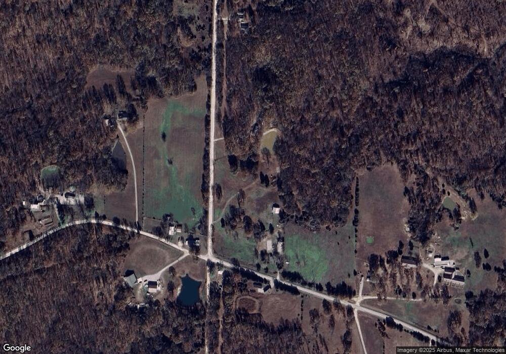
Map
Nearby Homes
- 27409 Missouri Dr
- 13715 Industry Rd
- 15800 Highway Ww
- 25195 Mcbride Dr
- 25575 Misty Oak Dr
- 12913 Highway 64
- 15650 Highway Ww
- 13940 Industry Rd
- 13025 Industry Rd
- 13071 Industry Rd
- 13704 Golden Leaf Ln
- 000 Ivory Rd
- 24960 Mcclurg Dr
- 15944 Highway Ww
- 27805 Millersburg Dr
- 24679 Mineral Dr
- Tract G Golden Ln
- Tract D Golden Ln
- Tract C Golden Ln
- Tract B Glory Ln
- 14025 Highway Ww
- 13987 Harvest Rd
- 28351 County Road Ww-961
- 26625 Maine Dr
- 14100 Highway Ww
- 13805 Harvest Rd
- 27010 Maine Dr
- 0 Maine Dr Unit 23568
- 13803 Harvest Rd
- 26529 Maine Dr
- 13787 Harvest Rd
- 13747 Harvest Rd
- 27031 Maine Dr
- 26151 Maine Dr
- 26547 Montauk Dr
- 27304 Maine Dr
- 26412 Montauk Dr
- 26188 Montauk Dr
- 14805 Highway Ww