1403 Millstone Rd Sag Harbor, NY 11963
Estimated Value: $1,516,000 - $2,348,000
4
Beds
5
Baths
2,700
Sq Ft
$692/Sq Ft
Est. Value
About This Home
This home is located at 1403 Millstone Rd, Sag Harbor, NY 11963 and is currently estimated at $1,868,342, approximately $691 per square foot. 1403 Millstone Rd is a home located in Suffolk County with nearby schools including Sag Harbor Elementary School, Pierson Middle/High School, and Ross Lower School.
Ownership History
Date
Name
Owned For
Owner Type
Purchase Details
Closed on
Apr 18, 2024
Sold by
Cappa Anthony and Puker Greg W
Bought by
Cappa Anthony and Baker Gereg W
Current Estimated Value
Purchase Details
Closed on
Aug 27, 2012
Bought by
Cappa Anthony and Baker Greg
Home Financials for this Owner
Home Financials are based on the most recent Mortgage that was taken out on this home.
Original Mortgage
$380,000
Interest Rate
3.52%
Mortgage Type
Stand Alone Refi Refinance Of Original Loan
Create a Home Valuation Report for This Property
The Home Valuation Report is an in-depth analysis detailing your home's value as well as a comparison with similar homes in the area
Home Values in the Area
Average Home Value in this Area
Purchase History
| Date | Buyer | Sale Price | Title Company |
|---|---|---|---|
| Cappa Anthony | -- | Fidelity National Title (Aka | |
| Cappa Anthony | -- | Fidelity National Title (Aka | |
| Cappa Anthony | $585,000 | All State Abstract | |
| Cappa Anthony | $585,000 | All State Abstract | |
| Cappa Anthony | $585,000 | All State Abstract |
Source: Public Records
Mortgage History
| Date | Status | Borrower | Loan Amount |
|---|---|---|---|
| Previous Owner | Cappa Anthony | $380,000 |
Source: Public Records
Tax History Compared to Growth
Tax History
| Year | Tax Paid | Tax Assessment Tax Assessment Total Assessment is a certain percentage of the fair market value that is determined by local assessors to be the total taxable value of land and additions on the property. | Land | Improvement |
|---|---|---|---|---|
| 2024 | $5,221 | $758,100 | $384,400 | $373,700 |
| 2023 | $5,221 | $758,100 | $384,400 | $373,700 |
| 2022 | $4,855 | $758,100 | $384,400 | $373,700 |
| 2021 | $4,855 | $755,000 | $384,400 | $370,600 |
| 2020 | $4,776 | $755,000 | $384,400 | $370,600 |
| 2019 | $4,776 | $0 | $0 | $0 |
| 2018 | -- | $681,900 | $384,400 | $297,500 |
| 2017 | $4,492 | $631,900 | $384,400 | $247,500 |
| 2016 | $4,737 | $645,500 | $384,400 | $261,100 |
| 2015 | -- | $645,500 | $384,400 | $261,100 |
| 2014 | -- | $686,800 | $422,900 | $263,900 |
Source: Public Records
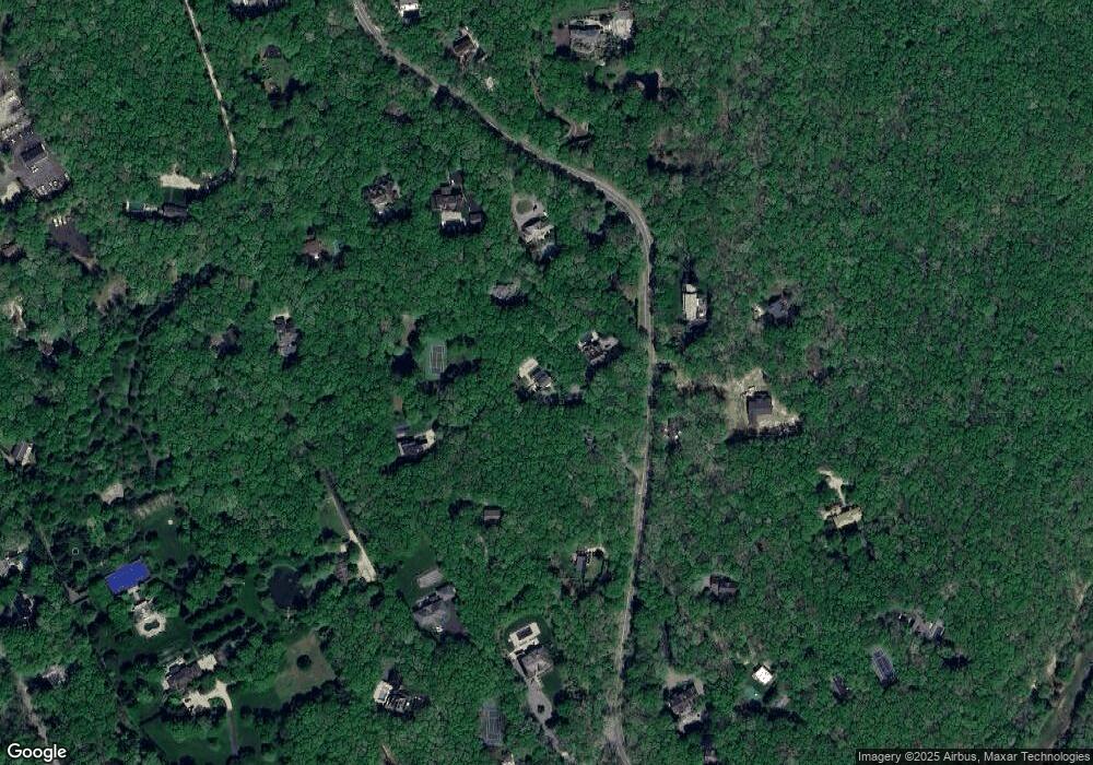
Map
Nearby Homes
- 1694 Millstone Rd
- 1739 Millstone Rd
- 2964 Noyack Rd
- 471 Middle Line Hwy
- 2803 Noyac Rd
- 2885 Deerfield Rd
- 2587 Deerfield Rd
- 2524 Noyack Rd
- 3380 Noyack Rd
- 2421 Noyac Rd
- 24 Shadyrest Dr
- 2222 Noyack Rd
- 75 Island View Dr W
- 31 Rolling Hill Ct W
- 9 Shadyrest Dr
- 7 Fourteen Hills Ct
- 64 Island View Dr W
- 125 Laurel Valley Dr
- 19 Wickatuck Dr
- 55 Wickatuck Dr
- 1429 Millstone Rd
- 1405 Millstone Rd
- 1401 Millstone Rd
- 1455 Millstone Rd
- 1410 Millstone Rd
- 1345 Millstone Rd
- 1559 Millstone Rd
- 1505 Millstone Rd
- 1450 Millstone Rd
- 1475 Millstone Rd
- 1535 Millstone Rd
- 1377 Millstone Rd
- 1430 Millstone Rd
- 1440 Millstone Rd
- 1557 Millstone Rd
- 1561 Millstone Rd
- 1887 Noyac Path
- 1563 Millstone Rd
- 1390 Millstone Rd
- 1545 Millstone Rd