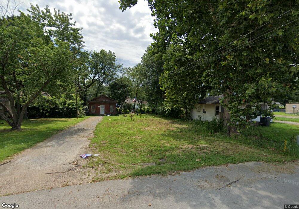
1403 Oakhurst St Unit 1403 R Oakhurst Jonesboro, AR 72401
Estimated Value: $72,251 - $173,000
4
Beds
2
Baths
825
Sq Ft
$141/Sq Ft
Est. Value
About This Home
This home is located at 1403 Oakhurst St Unit 1403 R Oakhurst, Jonesboro, AR 72401 and is currently estimated at $116,563, approximately $141 per square foot. 1403 Oakhurst St Unit 1403 R Oakhurst is a home located in Craighead County with nearby schools including Annie Camp Junior High School, The Academies at Jonesboro High School, and Montessori School of Jonesboro.
Ownership History
Date
Name
Owned For
Owner Type
Purchase Details
Closed on
Jun 23, 2020
Sold by
A Property Management Llc Llc
Bought by
Lyles Kevin
Current Estimated Value
Purchase Details
Closed on
Aug 15, 2000
Bought by
A+ Property
Purchase Details
Closed on
Dec 5, 1997
Bought by
Hess
Purchase Details
Closed on
Dec 10, 1996
Bought by
Bonham
Purchase Details
Closed on
Dec 10, 1963
Bought by
Barton
Create a Home Valuation Report for This Property
The Home Valuation Report is an in-depth analysis detailing your home's value as well as a comparison with similar homes in the area
Home Values in the Area
Average Home Value in this Area
Purchase History
| Date | Buyer | Sale Price | Title Company |
|---|---|---|---|
| Lyles Kevin | $5,500 | None Available | |
| Lyles Kevin | $5,500 | None Available | |
| A+ Property | $35,000 | -- | |
| A+ Property | $35,000 | -- | |
| Hess | $36,000 | -- | |
| Hess | $36,000 | -- | |
| Bonham | $27,000 | -- | |
| Bonham | $27,000 | -- | |
| Barton | -- | -- | |
| Barton | -- | -- |
Source: Public Records
Tax History Compared to Growth
Tax History
| Year | Tax Paid | Tax Assessment Tax Assessment Total Assessment is a certain percentage of the fair market value that is determined by local assessors to be the total taxable value of land and additions on the property. | Land | Improvement |
|---|---|---|---|---|
| 2025 | $450 | $12,735 | $3,750 | $8,985 |
| 2024 | $450 | $12,735 | $3,750 | $8,985 |
| 2023 | $6,668 | $12,735 | $3,750 | $8,985 |
| 2022 | $372 | $12,735 | $3,750 | $8,985 |
| 2021 | $346 | $8,210 | $1,250 | $6,960 |
| 2020 | $521 | $8,210 | $1,250 | $6,960 |
| 2019 | $346 | $8,210 | $1,250 | $6,960 |
| 2018 | $346 | $8,210 | $1,250 | $6,960 |
| 2017 | $346 | $8,210 | $1,250 | $6,960 |
| 2016 | $346 | $8,190 | $1,250 | $6,940 |
| 2015 | $346 | $8,190 | $1,250 | $6,940 |
| 2014 | $346 | $8,190 | $1,250 | $6,940 |
Source: Public Records
Map
Nearby Homes
- 1322 W Huntington Ave
- 1305 Oakhurst St
- 1302 W Monroe Ave
- 1607 W Washington Ave
- 513 Meadowbrook St
- 1323 W Jefferson Ave
- 604 Meadowbrook St
- 2714 W Matthews Ave
- 1001 W Huntington Ave
- 702 Freeman St
- 2250 W Washington Ave
- 919 W Washington Ave
- 704 Freeman St
- 725 Burke Ave
- 903 W Matthews Ave
- 901 Hester St
- 902 Hester St
- 818 W Matthews Ave
- 1906 W Matthews Ave
- 814 Vine St
- 1403 Oakhurst St
- 205 Puryear St
- 1485 Oakhurst St
- 1428 W Huntington Ave
- 1406 & 1418 Huntington
- 1406 W Huntington Ave Unit 1418
- 1404 W Huntington Ave
- 1400 W Huntington Ave
- 1315 Oakhurst St
- 1318 Oakhurst St
- 1430 W Huntington Ave
- 1313 Oakhurst St
- 1328 W Huntington Ave
- W Huntington Ave
- 1434 W Huntington Ave
- 1326 W Huntington Ave
- 1316 Oakhurst St
- 1311 Oakhurst St
- 1403 W Huntington Ave
- 1403 W Huntington Ave Unit 305/307 Puryear