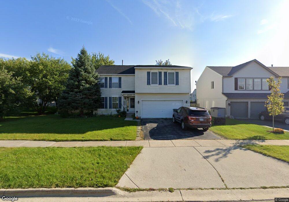
1403 S Blackhawk Cir South Elgin, IL 60177
Estimated Value: $402,000 - $427,735
4
Beds
3
Baths
2,342
Sq Ft
$176/Sq Ft
Est. Value
About This Home
This home is located at 1403 S Blackhawk Cir, South Elgin, IL 60177 and is currently estimated at $412,934, approximately $176 per square foot. 1403 S Blackhawk Cir is a home located in Kane County with nearby schools including Fox Meadow Elementary School, Kenyon Woods Middle School, and South Elgin High School.
Ownership History
Date
Name
Owned For
Owner Type
Purchase Details
Closed on
May 14, 1998
Sold by
Kingsport Development Inc
Bought by
Anderson Scott R and Anderson Melissa M
Current Estimated Value
Home Financials for this Owner
Home Financials are based on the most recent Mortgage that was taken out on this home.
Original Mortgage
$147,000
Outstanding Balance
$28,473
Interest Rate
7%
Estimated Equity
$384,461
Create a Home Valuation Report for This Property
The Home Valuation Report is an in-depth analysis detailing your home's value as well as a comparison with similar homes in the area
Home Values in the Area
Average Home Value in this Area
Purchase History
| Date | Buyer | Sale Price | Title Company |
|---|---|---|---|
| Anderson Scott R | $155,500 | Chicago Title Insurance Co |
Source: Public Records
Mortgage History
| Date | Status | Borrower | Loan Amount |
|---|---|---|---|
| Open | Anderson Scott R | $147,000 |
Source: Public Records
Tax History Compared to Growth
Tax History
| Year | Tax Paid | Tax Assessment Tax Assessment Total Assessment is a certain percentage of the fair market value that is determined by local assessors to be the total taxable value of land and additions on the property. | Land | Improvement |
|---|---|---|---|---|
| 2024 | $8,853 | $120,190 | $28,317 | $91,873 |
| 2023 | $8,439 | $108,582 | $25,582 | $83,000 |
| 2022 | $8,004 | $99,008 | $23,326 | $75,682 |
| 2021 | $7,539 | $92,565 | $21,808 | $70,757 |
| 2020 | $7,313 | $88,367 | $20,819 | $67,548 |
| 2019 | $7,044 | $84,175 | $19,831 | $64,344 |
| 2018 | $6,908 | $79,298 | $18,682 | $60,616 |
| 2017 | $6,567 | $74,965 | $17,661 | $57,304 |
| 2016 | $6,256 | $69,548 | $16,385 | $53,163 |
| 2015 | -- | $63,747 | $15,018 | $48,729 |
| 2014 | -- | $62,434 | $14,833 | $47,601 |
| 2013 | -- | $64,081 | $15,224 | $48,857 |
Source: Public Records
Map
Nearby Homes
- 1458 Woodland Dr
- 25 Kingsport Ct
- 435 Sandhurst Ln Unit 3
- 1370 Marleigh Ln
- 1419 S Pembroke Dr
- 8N594 S Mclean Blvd
- 126 Kingsport Dr
- 1063 Manchester Ct Unit 1
- 590 Fenwick Ln
- 671 Fieldcrest Dr
- 387 S Pointe Ave
- 286 Kingsport Dr
- 282 Kingsport Dr
- 280 Kingsport Dr
- 281 Kingsport Dr
- 2300 Vineyard Ct
- 283 Kingsport Dr
- 285 Kingsport Dr
- 287 Kingsport Dr
- 289 Kingsport Dr
- 1409 S Blackhawk Cir
- 410 Hobart Dr
- 440 Hobart Dr
- 400 Hobart Dr
- 1419 S Blackhawk Cir
- 380 Hobart Dr
- 1420 Woodland Dr
- 1390 S Blackhawk Cir
- 1402 S Blackhawk Cir
- 1382 S Blackhawk Cir
- 1427 S Blackhawk Cir
- 1412 S Blackhawk Cir
- 1378 S Blackhawk Cir
- 1428 Woodland Dr
- 1426 S Blackhawk Cir
- 1439 S Blackhawk Cir
- 1436 Woodland Dr
- 361 Hobart Dr
- 1436 S Blackhawk Cir
- 433 Hobart Dr