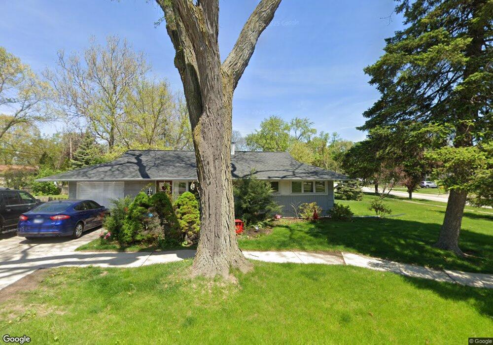
1403 W Liberty Dr Wheaton, IL 60187
West Wheaton NeighborhoodEstimated Value: $285,254 - $328,000
2
Beds
1
Bath
912
Sq Ft
$342/Sq Ft
Est. Value
About This Home
This home is located at 1403 W Liberty Dr, Wheaton, IL 60187 and is currently estimated at $311,564, approximately $341 per square foot. 1403 W Liberty Dr is a home located in DuPage County with nearby schools including Clarence E Culver School, Emerson Elementary School, and Monroe Middle School.
Ownership History
Date
Name
Owned For
Owner Type
Purchase Details
Closed on
May 9, 2003
Sold by
Demol James R and Demol Jocelyn M
Bought by
Castro Israel R and Castro Maribel
Current Estimated Value
Home Financials for this Owner
Home Financials are based on the most recent Mortgage that was taken out on this home.
Original Mortgage
$149,400
Interest Rate
5.4%
Mortgage Type
Balloon
Create a Home Valuation Report for This Property
The Home Valuation Report is an in-depth analysis detailing your home's value as well as a comparison with similar homes in the area
Home Values in the Area
Average Home Value in this Area
Purchase History
| Date | Buyer | Sale Price | Title Company |
|---|---|---|---|
| Castro Israel R | $166,000 | Midwest Title Services Llc |
Source: Public Records
Mortgage History
| Date | Status | Borrower | Loan Amount |
|---|---|---|---|
| Previous Owner | Castro Israel R | $149,400 |
Source: Public Records
Tax History Compared to Growth
Tax History
| Year | Tax Paid | Tax Assessment Tax Assessment Total Assessment is a certain percentage of the fair market value that is determined by local assessors to be the total taxable value of land and additions on the property. | Land | Improvement |
|---|---|---|---|---|
| 2024 | $4,935 | $76,570 | $34,048 | $42,522 |
| 2023 | $4,763 | $70,480 | $31,340 | $39,140 |
| 2022 | $4,613 | $66,610 | $29,620 | $36,990 |
| 2021 | $4,178 | $65,030 | $28,920 | $36,110 |
| 2020 | $4,162 | $64,420 | $28,650 | $35,770 |
| 2019 | $4,061 | $62,720 | $27,890 | $34,830 |
| 2018 | $3,871 | $59,450 | $26,280 | $33,170 |
| 2017 | $3,804 | $57,260 | $25,310 | $31,950 |
| 2016 | $3,743 | $54,970 | $24,300 | $30,670 |
| 2015 | $3,701 | $52,440 | $23,180 | $29,260 |
| 2014 | $4,271 | $58,680 | $20,120 | $38,560 |
| 2013 | $4,163 | $58,860 | $20,180 | $38,680 |
Source: Public Records
Map
Nearby Homes
- 119 N Dorchester Ave
- 1321 W Liberty Dr
- 200 N Erie St
- 505 S Knollwood Dr
- 615 Polo Dr
- 1489 Woodcutter Ln Unit A
- 620 Crest St
- 0S015 Cottonwood Dr
- 906 W Roosevelt Rd
- 0N042 Nepil Ave
- 1785 Grosvenor Cir Unit A
- 904 Dartmouth Dr
- 2059 W Roosevelt Rd
- 1222 Champion Forest Ct
- 100 N Gary Ave Unit 304
- 536 W Evergreen St
- 26W278 Harrison Ave
- 418 W Franklin St
- 921 & 933 N College Ave
- 0N105 Lot 1 Nepil Ave
- 106 N Dorchester Ave
- 110 N Dorchester Ave
- 102 S Dorchester Ave
- 1421 W Liberty Dr
- 107 N Morgan Ave
- 111 N Morgan Ave
- 114 N Dorchester Ave
- 107 N Dorchester Ave
- 1422 W Liberty Dr
- 106 S Dorchester Ave
- 115 N Morgan Ave
- 111 N Dorchester Ave
- 107 S Morgan Ave
- 1320 W Liberty Dr
- 122 N Dorchester Ave
- 119 N Morgan Ave
- 112 S Dorchester Ave
- 107 S Dorchester Ave
- 111 S Morgan Ave
- 123 N Morgan Ave