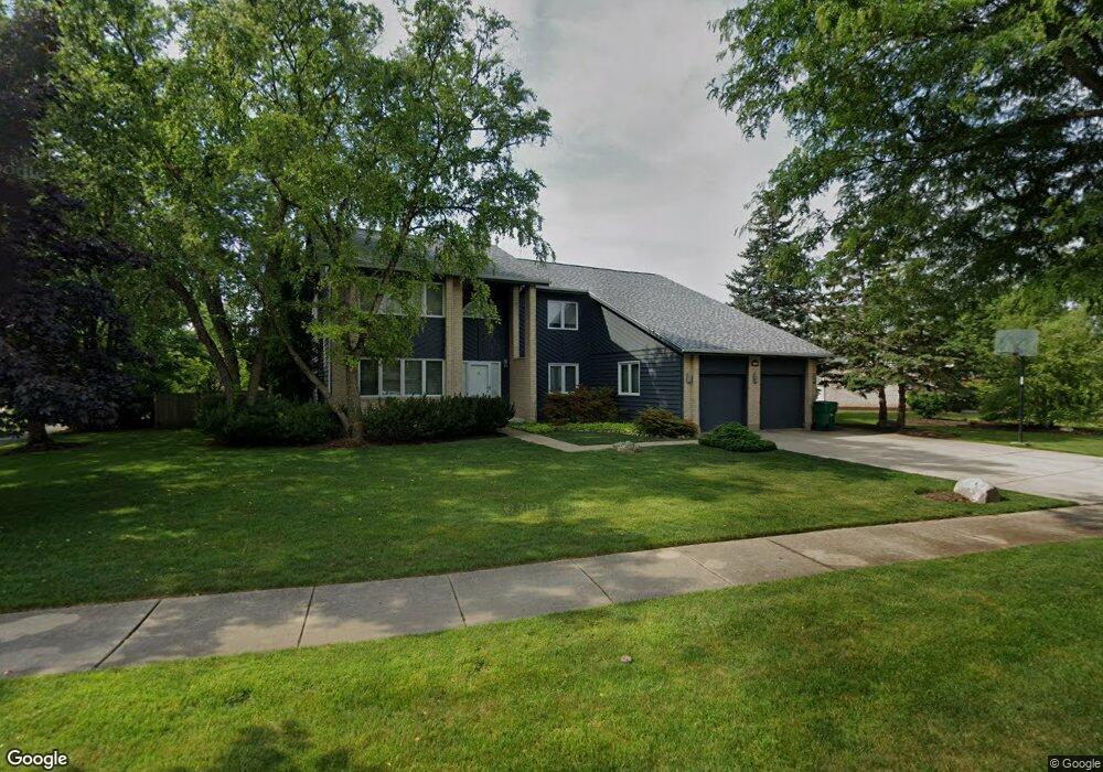
1403 Westchester Rd Buffalo Grove, IL 60089
Estimated Value: $752,416 - $825,000
--
Bed
3
Baths
3,166
Sq Ft
$250/Sq Ft
Est. Value
About This Home
This home is located at 1403 Westchester Rd, Buffalo Grove, IL 60089 and is currently estimated at $790,354, approximately $249 per square foot. 1403 Westchester Rd is a home located in Lake County with nearby schools including Meridian Middle School, Tripp Elementary School, and Aptakisic Junior High School.
Ownership History
Date
Name
Owned For
Owner Type
Purchase Details
Closed on
Jan 18, 2003
Sold by
Morand Gregory R and Morand Lynn G
Bought by
Morand Lynn G and Lynn G Morand Revocable Trust
Current Estimated Value
Purchase Details
Closed on
Jul 23, 1997
Sold by
Vanek Martin J and Vanek Christine K
Bought by
Morand Gregory R and Morand Lynn
Home Financials for this Owner
Home Financials are based on the most recent Mortgage that was taken out on this home.
Original Mortgage
$186,000
Interest Rate
7.32%
Create a Home Valuation Report for This Property
The Home Valuation Report is an in-depth analysis detailing your home's value as well as a comparison with similar homes in the area
Home Values in the Area
Average Home Value in this Area
Purchase History
| Date | Buyer | Sale Price | Title Company |
|---|---|---|---|
| Morand Lynn G | -- | -- | |
| Morand Gregory R | $366,000 | -- |
Source: Public Records
Mortgage History
| Date | Status | Borrower | Loan Amount |
|---|---|---|---|
| Previous Owner | Morand Gregory R | $186,000 |
Source: Public Records
Tax History Compared to Growth
Tax History
| Year | Tax Paid | Tax Assessment Tax Assessment Total Assessment is a certain percentage of the fair market value that is determined by local assessors to be the total taxable value of land and additions on the property. | Land | Improvement |
|---|---|---|---|---|
| 2024 | $18,999 | $203,973 | $45,394 | $158,579 |
| 2023 | $16,598 | $192,464 | $42,833 | $149,631 |
| 2022 | $16,598 | $175,887 | $39,144 | $136,743 |
| 2021 | $16,011 | $173,991 | $38,722 | $135,269 |
| 2020 | $15,698 | $174,584 | $38,854 | $135,730 |
| 2019 | $15,282 | $173,941 | $38,711 | $135,230 |
| 2018 | $16,986 | $192,290 | $42,081 | $150,209 |
| 2017 | $16,767 | $187,802 | $41,099 | $146,703 |
| 2016 | $16,192 | $179,836 | $39,356 | $140,480 |
| 2015 | $15,885 | $168,181 | $36,805 | $131,376 |
| 2014 | $15,492 | $162,394 | $39,529 | $122,865 |
| 2012 | $15,355 | $162,719 | $39,608 | $123,111 |
Source: Public Records
Map
Nearby Homes
- 1272 Sandhurst Dr
- 15 Thompson Ct
- 1118 Larraway Dr
- 538 Lasalle Ct
- 1113 Lockwood Dr
- 327 Lasalle Ln
- 938 Hidden Lake Dr
- 1012 Hobson Dr
- 148 White Branch Ct
- 1265 Devonshire Rd
- 268 Hoffmann Dr
- 22118 N Prairie Rd
- 361 Hoffmann Dr
- 1901 Brandywyn Ln
- 51 W Fabish Dr
- 1141 Devonshire Rd
- 1903 Sheridan Rd
- 931 Shady Grove Ln
- 60 E Fabish Dr
- 896 Chaucer Way Unit 2
- 1401 Westchester Rd
- 1314 Whitney Ln
- 1315 Westchester Rd
- 1408 Westchester Rd
- 216 Thompson Blvd
- 218 Thompson Blvd
- 1312 Whitney Ln
- 1313 Westchester Rd
- 1406 Westchester Rd
- 1400 Westchester Rd
- 214 Thompson Blvd
- 1402 Westchester Rd
- 220 Thompson Blvd Unit 65B
- 1314 Westchester Rd
- 1404 Westchester Rd
- 1310 Whitney Ln
- 251 Thompson Blvd
- 1311 Westchester Rd
- 1312 Westchester Rd
- 1452 Rolling Hills Ct