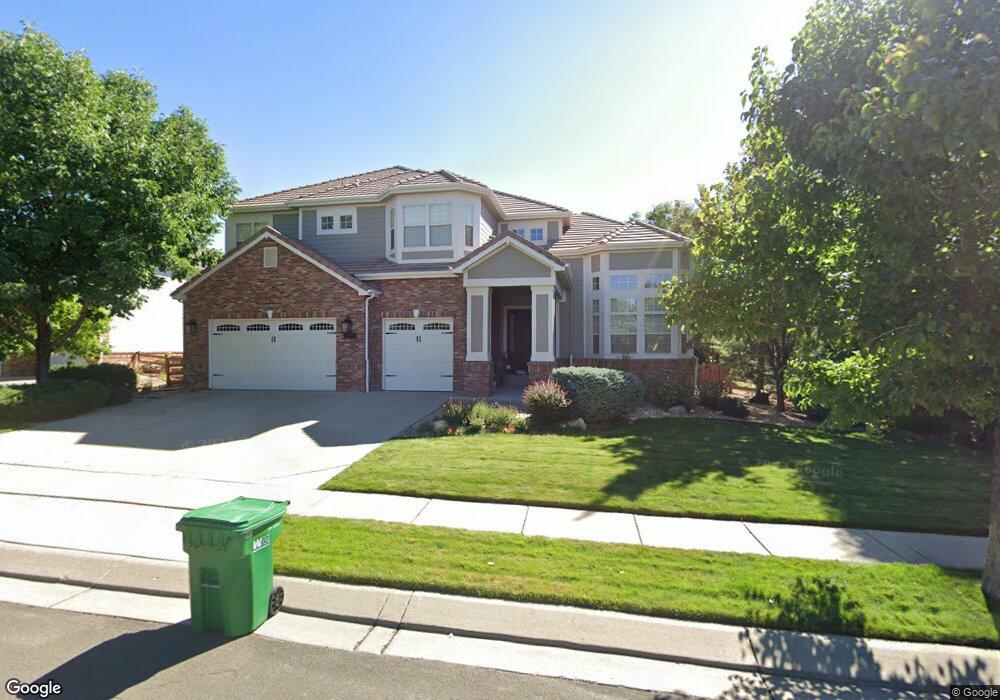
14032 Fox Ridge Dr Broomfield, CO 80020
Aspen Creek NeighborhoodEstimated Value: $1,226,762 - $1,392,000
4
Beds
4
Baths
4,076
Sq Ft
$322/Sq Ft
Est. Value
About This Home
This home is located at 14032 Fox Ridge Dr, Broomfield, CO 80020 and is currently estimated at $1,310,441, approximately $321 per square foot. 14032 Fox Ridge Dr is a home located in Broomfield County with nearby schools including Aspen Creek K-8 School, Broomfield High School, and Holy Family High School.
Ownership History
Date
Name
Owned For
Owner Type
Purchase Details
Closed on
Nov 14, 2002
Sold by
U S Home Corp
Bought by
Bowman William T and Bowman Carol S
Current Estimated Value
Home Financials for this Owner
Home Financials are based on the most recent Mortgage that was taken out on this home.
Original Mortgage
$450,000
Outstanding Balance
$190,010
Interest Rate
6.13%
Estimated Equity
$1,120,431
Purchase Details
Closed on
Jul 5, 2001
Create a Home Valuation Report for This Property
The Home Valuation Report is an in-depth analysis detailing your home's value as well as a comparison with similar homes in the area
Home Values in the Area
Average Home Value in this Area
Purchase History
| Date | Buyer | Sale Price | Title Company |
|---|---|---|---|
| Bowman William T | $562,537 | North American Title | |
| -- | $1,198,200 | -- |
Source: Public Records
Mortgage History
| Date | Status | Borrower | Loan Amount |
|---|---|---|---|
| Open | Bowman William T | $450,000 |
Source: Public Records
Tax History Compared to Growth
Tax History
| Year | Tax Paid | Tax Assessment Tax Assessment Total Assessment is a certain percentage of the fair market value that is determined by local assessors to be the total taxable value of land and additions on the property. | Land | Improvement |
|---|---|---|---|---|
| 2025 | $7,342 | $81,320 | $18,090 | $63,230 |
| 2024 | $7,342 | $78,350 | $17,280 | $61,070 |
| 2023 | $7,327 | $85,090 | $18,770 | $66,320 |
| 2022 | $5,889 | $60,910 | $12,510 | $48,400 |
| 2021 | $5,858 | $62,660 | $12,870 | $49,790 |
| 2020 | $5,584 | $59,360 | $12,870 | $46,490 |
| 2019 | $5,574 | $59,770 | $12,960 | $46,810 |
| 2018 | $5,303 | $56,180 | $10,800 | $45,380 |
| 2017 | $5,222 | $62,110 | $11,940 | $50,170 |
| 2016 | $5,624 | $59,640 | $7,840 | $51,800 |
| 2015 | $5,430 | $50,780 | $7,840 | $42,940 |
| 2014 | $4,726 | $50,780 | $7,840 | $42,940 |
Source: Public Records
Map
Nearby Homes
- 13980 Willow Wood Dr
- Torrey Plan at Dillon Pointe
- Evans Plan at Dillon Pointe
- Antero Plan at Dillon Pointe
- 5704 W 141st Place
- 14111 Blue Stem St
- 13924 Quail Ridge Dr
- 14115 Blue Stem St
- 5625 W 141st Ln
- 5621 W 141st Ln
- 5632 W 142nd Ave
- 5605 W 141st Ln
- 5630 W 142nd Ave
- 5626 W 142nd Ave
- Antora Plan at Dillon Pointe - Dillon Pointe - Skyview
- Blanca Plan at Dillon Pointe - Dillon Pointe - Skyview
- Columbia Plan at Dillon Pointe - Dillon Pointe - Skyview
- Varra Plan at Dillon Pointe - Dillon Pointe - Journey
- Mckay Plan at Dillon Pointe - Dillon Pointe - Journey
- Quail Plan at Dillon Pointe - Dillon Pointe - Journey
- 14052 Fox Ridge Dr
- 14012 Fox Ridge Dr
- 14035 Willow Wood Ct
- 14055 Willow Wood Ct
- 14015 Willow Wood Ct
- 5834 Star View Dr
- 14072 Fox Ridge Dr
- 5817 Fox Ridge Ct
- 13992 Fox Ridge Dr
- 13985 Willow Wood Ct
- 5823 Star View Dr
- 5854 Star View Dr
- 5837 Fox Ridge Ct
- 13975 Willow Wood Ct
- 5843 Star View Dr
- 5808 Fox Ridge Ct
- 13965 Willow Wood Ct
- 14018 Willow Wood Ct
- 14048 Willow Wood Ct
- 14008 Willow Wood Ct