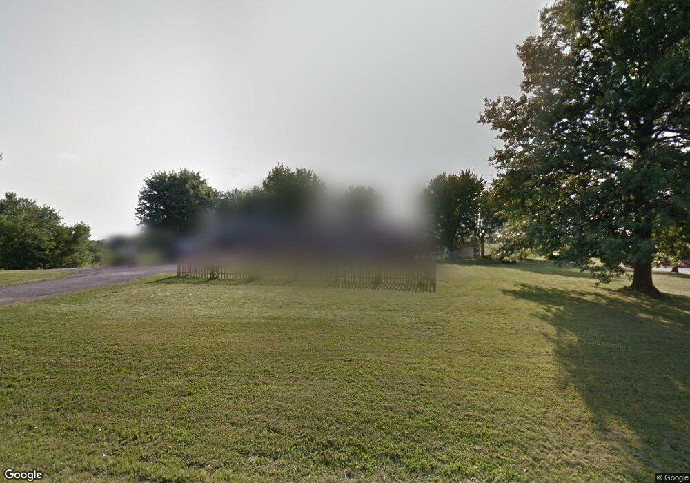
14032 State Route Dd Savannah, MO 64485
Estimated Value: $261,642 - $322,000
3
Beds
2
Baths
2,236
Sq Ft
$129/Sq Ft
Est. Value
About This Home
This home is located at 14032 State Route Dd, Savannah, MO 64485 and is currently estimated at $289,161, approximately $129 per square foot. 14032 State Route Dd is a home with nearby schools including Savannah High School.
Ownership History
Date
Name
Owned For
Owner Type
Purchase Details
Closed on
Dec 30, 2011
Sold by
Baumann Family Land Llc A Missouri Limi
Bought by
Wheeler Ray and Wheeler Christina
Current Estimated Value
Home Financials for this Owner
Home Financials are based on the most recent Mortgage that was taken out on this home.
Original Mortgage
$118,900
Outstanding Balance
$81,748
Interest Rate
4.04%
Mortgage Type
FHA
Estimated Equity
$207,413
Purchase Details
Closed on
May 3, 2011
Sold by
Rotterman John and Rotterman Becky
Bought by
Baumann Family Land Llc
Create a Home Valuation Report for This Property
The Home Valuation Report is an in-depth analysis detailing your home's value as well as a comparison with similar homes in the area
Home Values in the Area
Average Home Value in this Area
Purchase History
| Date | Buyer | Sale Price | Title Company |
|---|---|---|---|
| Wheeler Ray | -- | -- | |
| Baumann Family Land Llc | -- | -- |
Source: Public Records
Mortgage History
| Date | Status | Borrower | Loan Amount |
|---|---|---|---|
| Open | Baumann Family Land Llc | $118,900 |
Source: Public Records
Tax History Compared to Growth
Tax History
| Year | Tax Paid | Tax Assessment Tax Assessment Total Assessment is a certain percentage of the fair market value that is determined by local assessors to be the total taxable value of land and additions on the property. | Land | Improvement |
|---|---|---|---|---|
| 2024 | $1,224 | $20,710 | $3,080 | $17,630 |
| 2023 | $1,245 | $20,710 | $3,080 | $17,630 |
| 2022 | $1,242 | $20,710 | $3,080 | $17,630 |
| 2021 | $1,184 | $20,710 | $3,080 | $17,630 |
| 2020 | $1,162 | $20,710 | $3,080 | $17,630 |
| 2019 | $1,164 | $20,710 | $3,080 | $17,630 |
| 2018 | $1,162 | $20,710 | $3,080 | $17,630 |
| 2017 | $1,193 | $20,710 | $3,080 | $17,630 |
| 2016 | $1,188 | $20,710 | $3,080 | $17,630 |
| 2015 | -- | $20,710 | $3,080 | $17,630 |
| 2011 | -- | $104,960 | $16,200 | $88,760 |
Source: Public Records
Map
Nearby Homes
- 601 W Elk St
- 14610 State Route Dd
- 102 W Swenson Dr
- 405 S 6th St
- 602 W Benton St
- 305 W Benton St
- 310 S 14th St
- 203 S 6th St
- 1106 W Market St
- 1309 W Price Ave
- 1103 W Market St
- 1213 W Chestnut St
- 408 N 1st St
- 201 N Cedar St
- 0 W Duncan Dr
- 12931 County Road 332 N A
- 11123 County Road 159
- 1106 E Chestnut Ct Unit A
- 12055 State Highway C N A
- 11757 Ridgeway Dr
- 14065 State Route Dd
- 11444 County Road 366
- 11491 County Road 366
- 14068 State Route Dd
- 14114 State Route Dd
- 14063 State Route Dd
- 11325 County Road 366
- 14116 State Route Dd
- 13966 State Route Dd
- 14031 Private Drive 3662
- 13927 Mason Dr
- 11319 County Road 366
- 13875 Mason Dr
- 14178 State Route Dd
- 13930 State Route Dd
- 13930 State Route Dd
- 14030 Private Drive 3662
- 11313 County Road 366
- Lot #8 Mason Dr
- Lot #7 Mason Dr