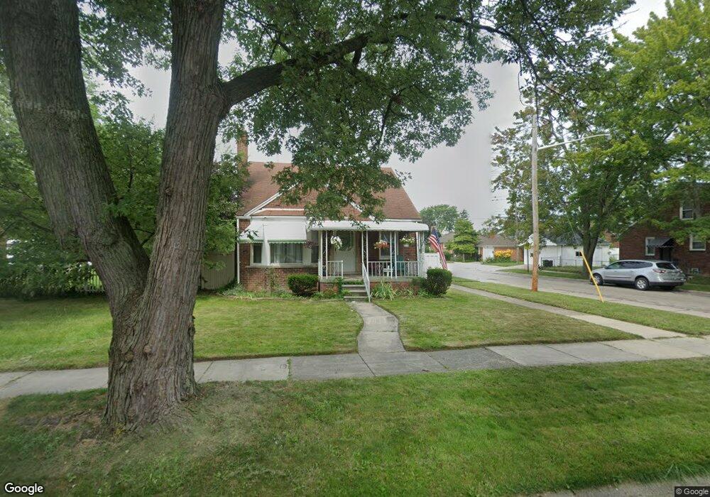
1404 12th St Wyandotte, MI 48192
Estimated Value: $170,000 - $244,000
--
Bed
--
Bath
1,192
Sq Ft
$164/Sq Ft
Est. Value
About This Home
This home is located at 1404 12th St, Wyandotte, MI 48192 and is currently estimated at $195,907, approximately $164 per square foot. 1404 12th St is a home located in Wayne County with nearby schools including Jefferson Elementary School, Woodrow Wilson School, and Roosevelt High School.
Ownership History
Date
Name
Owned For
Owner Type
Purchase Details
Closed on
Feb 3, 2025
Sold by
Hamlett Virginia
Bought by
Bates Kayla Reanne
Current Estimated Value
Home Financials for this Owner
Home Financials are based on the most recent Mortgage that was taken out on this home.
Original Mortgage
$160,050
Outstanding Balance
$159,088
Interest Rate
6.85%
Mortgage Type
New Conventional
Estimated Equity
$36,819
Purchase Details
Closed on
Sep 27, 2013
Sold by
Campbell Edward C and Campbell Marcia K
Bought by
Hamlett Virginia
Create a Home Valuation Report for This Property
The Home Valuation Report is an in-depth analysis detailing your home's value as well as a comparison with similar homes in the area
Home Values in the Area
Average Home Value in this Area
Purchase History
| Date | Buyer | Sale Price | Title Company |
|---|---|---|---|
| Bates Kayla Reanne | $165,000 | Amrock | |
| Bates Kayla Reanne | $165,000 | Amrock | |
| Hamlett Virginia | $70,000 | First American Title Ins Co |
Source: Public Records
Mortgage History
| Date | Status | Borrower | Loan Amount |
|---|---|---|---|
| Open | Bates Kayla Reanne | $160,050 | |
| Closed | Bates Kayla Reanne | $160,050 |
Source: Public Records
Tax History Compared to Growth
Tax History
| Year | Tax Paid | Tax Assessment Tax Assessment Total Assessment is a certain percentage of the fair market value that is determined by local assessors to be the total taxable value of land and additions on the property. | Land | Improvement |
|---|---|---|---|---|
| 2025 | $2,185 | $99,100 | $0 | $0 |
| 2024 | $2,185 | $91,300 | $0 | $0 |
| 2023 | $2,084 | $83,200 | $0 | $0 |
| 2022 | $2,414 | $73,900 | $0 | $0 |
| 2021 | $2,366 | $66,000 | $0 | $0 |
| 2020 | $2,333 | $59,200 | $0 | $0 |
| 2019 | $2,301 | $54,500 | $0 | $0 |
| 2018 | $1,836 | $49,700 | $0 | $0 |
| 2017 | $804 | $49,700 | $0 | $0 |
| 2016 | $2,222 | $45,200 | $0 | $0 |
| 2015 | $3,964 | $42,000 | $0 | $0 |
| 2013 | $3,840 | $38,400 | $0 | $0 |
| 2012 | $1,815 | $40,200 | $6,500 | $33,700 |
Source: Public Records
Map
Nearby Homes