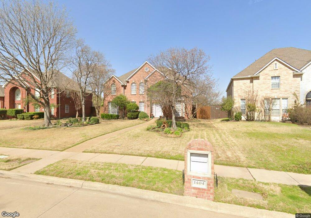
1404 Brookside Dr Carrollton, TX 75007
Northwest Carrollton NeighborhoodEstimated Value: $673,000 - $738,000
5
Beds
4
Baths
3,725
Sq Ft
$189/Sq Ft
Est. Value
About This Home
This home is located at 1404 Brookside Dr, Carrollton, TX 75007 and is currently estimated at $705,530, approximately $189 per square foot. 1404 Brookside Dr is a home located in Denton County with nearby schools including Hebron Valley Elementary School, Creek Valley Middle School, and Hebron High School.
Ownership History
Date
Name
Owned For
Owner Type
Purchase Details
Closed on
Nov 20, 2019
Sold by
Ellerd Robert and Ellerd Andria
Bought by
Ellerd Robert and Ellerd Andria
Current Estimated Value
Purchase Details
Closed on
Jul 24, 1998
Sold by
Drees Custom Homes Lp
Bought by
Ellerd Robert and Ellerd Andria
Home Financials for this Owner
Home Financials are based on the most recent Mortgage that was taken out on this home.
Original Mortgage
$100,700
Interest Rate
6.94%
Create a Home Valuation Report for This Property
The Home Valuation Report is an in-depth analysis detailing your home's value as well as a comparison with similar homes in the area
Home Values in the Area
Average Home Value in this Area
Purchase History
| Date | Buyer | Sale Price | Title Company |
|---|---|---|---|
| Ellerd Robert | -- | None Available | |
| Ellerd Robert | -- | -- |
Source: Public Records
Mortgage History
| Date | Status | Borrower | Loan Amount |
|---|---|---|---|
| Closed | Ellerd Robert | $100,700 |
Source: Public Records
Tax History Compared to Growth
Tax History
| Year | Tax Paid | Tax Assessment Tax Assessment Total Assessment is a certain percentage of the fair market value that is determined by local assessors to be the total taxable value of land and additions on the property. | Land | Improvement |
|---|---|---|---|---|
| 2025 | $9,898 | $670,000 | $176,201 | $493,799 |
| 2024 | $11,749 | $636,980 | $0 | $0 |
| 2023 | $9,043 | $579,073 | $149,512 | $449,488 |
| 2022 | $10,617 | $526,430 | $164,455 | $423,545 |
| 2021 | $10,336 | $478,573 | $105,721 | $372,852 |
| 2020 | $9,640 | $447,780 | $93,457 | $354,323 |
| 2019 | $9,784 | $439,143 | $93,457 | $345,686 |
| 2018 | $9,334 | $415,746 | $93,457 | $322,289 |
| 2017 | $9,228 | $406,128 | $93,457 | $312,671 |
| 2016 | $8,774 | $386,145 | $93,457 | $295,623 |
| 2015 | $6,910 | $351,041 | $93,457 | $264,055 |
| 2013 | -- | $290,116 | $93,457 | $196,659 |
Source: Public Records
Map
Nearby Homes
- 1112 Pawnee Trail
- 1119 Tahlequah Trail
- 1305 Pawnee Trail
- 3528 Eisenhower St
- 1464 Summerhill Dr
- 3622 Flagstone Dr
- 1104 Elk Trail
- 3905 Waynoka Dr
- 3816 Quivera Cir
- 1407 Pawnee Trail
- 3309 Susan Ln
- 3640 Harebell Dr
- 1529 Arrowhead Ln
- 1372 Mae Dr
- 3110 Glenmere Ct
- 1006 Bellflower Ct
- 1027 Ridgeview Cir
- 4108 Creekmeadow Dr
- 1015 E Peters Colony Rd
- 1305 Barclay Dr
- 1400 Brookside Dr
- 1408 Brookside Dr
- 1103 Stillwater Trail
- 1105 Stillwater Trail
- 1412 Brookside Dr
- 1107 Stillwater Trail
- 1101 Stillwater Trail
- 1109 Stillwater Trail
- 1405 Brookside Dr
- 1401 Brookside Dr
- 1416 Brookside Dr
- 1409 Brookside Dr
- 1201 Stillwater Trail
- 1103 Pawnee Ct
- 1100 Stillwater Trail
- 1413 Brookside Dr
- 1105 Pawnee Ct
- 1104 Stillwater Trail
- 1102 Stillwater Trail
- 3521 High Vista Dr