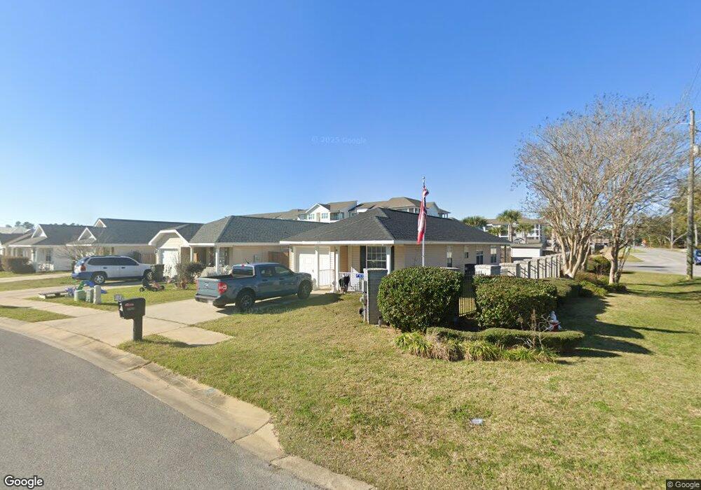
1404 Dunhurst Dr Pensacola, FL 32534
Estimated Value: $186,664 - $213,000
--
Bed
2
Baths
985
Sq Ft
$201/Sq Ft
Est. Value
About This Home
This home is located at 1404 Dunhurst Dr, Pensacola, FL 32534 and is currently estimated at $198,166, approximately $201 per square foot. 1404 Dunhurst Dr is a home located in Escambia County with nearby schools including Lincoln Park Elementary School, Beulah Middle School, and J.M. Tate Senior High School.
Ownership History
Date
Name
Owned For
Owner Type
Purchase Details
Closed on
Jun 30, 2010
Sold by
Wint Charles Gregory
Bought by
Mathews June H
Current Estimated Value
Home Financials for this Owner
Home Financials are based on the most recent Mortgage that was taken out on this home.
Original Mortgage
$97,684
Outstanding Balance
$67,392
Interest Rate
5.5%
Mortgage Type
FHA
Estimated Equity
$130,774
Purchase Details
Closed on
Apr 25, 2006
Sold by
The Mitchell Co Inc
Bought by
Wint Charles Gregory
Home Financials for this Owner
Home Financials are based on the most recent Mortgage that was taken out on this home.
Original Mortgage
$110,000
Interest Rate
6.31%
Mortgage Type
Fannie Mae Freddie Mac
Create a Home Valuation Report for This Property
The Home Valuation Report is an in-depth analysis detailing your home's value as well as a comparison with similar homes in the area
Home Values in the Area
Average Home Value in this Area
Purchase History
| Date | Buyer | Sale Price | Title Company |
|---|---|---|---|
| Mathews June H | $99,000 | Citizens Title Group Inc | |
| Wint Charles Gregory | $137,900 | None Available |
Source: Public Records
Mortgage History
| Date | Status | Borrower | Loan Amount |
|---|---|---|---|
| Open | Mathews June H | $97,684 | |
| Previous Owner | Wint Charles Gregory | $110,000 |
Source: Public Records
Tax History Compared to Growth
Tax History
| Year | Tax Paid | Tax Assessment Tax Assessment Total Assessment is a certain percentage of the fair market value that is determined by local assessors to be the total taxable value of land and additions on the property. | Land | Improvement |
|---|---|---|---|---|
| 2024 | $579 | $75,898 | -- | -- |
| 2023 | $579 | $73,688 | $0 | $0 |
| 2022 | $574 | $71,542 | $0 | $0 |
| 2021 | $582 | $69,459 | $0 | $0 |
| 2020 | $576 | $68,500 | $0 | $0 |
| 2019 | $571 | $66,960 | $0 | $0 |
| 2018 | $575 | $65,712 | $0 | $0 |
| 2017 | $579 | $64,361 | $0 | $0 |
| 2016 | $579 | $63,038 | $0 | $0 |
| 2015 | $560 | $62,600 | $0 | $0 |
| 2014 | $549 | $62,104 | $0 | $0 |
Source: Public Records
Map
Nearby Homes
- 8964 Abbington Dr
- 1433 Claridge Place
- 1463 Keylan Cove
- 9200 Bowman Ave
- 1518 Farragut Way
- 8920 Brigade Trail
- 8916 Brigade Trail
- 8907 Abbington Dr
- 8913 Brigade Trail
- 1412 Croquet Dr
- 1904 Mary Jo Way
- 1830 Mary Jo Way
- 1755 Mary Jo Way
- 1783 Mary Jo Way
- 1403 Twilight Dr
- 1422 Starlight Dr
- 1760 Paisleigh Dr
- 1772 Paisleigh Dr
- 1921 Larkspur Cir
- 1620 Addies Way
- 1400 Dunhurst Dr
- 1412 Dunhurst Dr
- 1420 Dunhurst Dr
- 0000 Ashland Ave
- 00 Ashland Ave
- S Ashland Ave
- 0 Ashland Ave Unit 586797
- 0 Ashland Ave Unit 594611
- 0 Ashland Ave Unit 607625
- 0 Ashland Ave Unit 611950
- 0 Ashland Ave Unit 358898
- 0 Ashland Ave Unit 361393
- 0 Ashland Ave Unit 374122
- 0 Ashland Ave Unit 393566
- 0 Ashland Ave Unit 401925
- 0 Ashland Ave Unit 421968
- 0 Ashland Ave Unit 451766
- 0 Ashland Ave Unit 473822
- 0 Ashland Ave Unit 501671
- 0 Ashland Ave Unit 504186