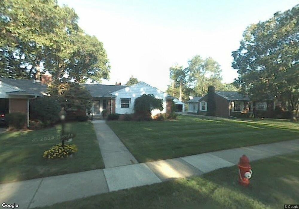
1404 N Lafayette Ave Royal Oak, MI 48067
Estimated Value: $486,000 - $572,000
3
Beds
3
Baths
1,944
Sq Ft
$275/Sq Ft
Est. Value
About This Home
This home is located at 1404 N Lafayette Ave, Royal Oak, MI 48067 and is currently estimated at $535,559, approximately $275 per square foot. 1404 N Lafayette Ave is a home located in Oakland County with nearby schools including Northwood Elementary School, Royal Oak Middle School, and Royal Oak High School.
Ownership History
Date
Name
Owned For
Owner Type
Purchase Details
Closed on
Jan 4, 2023
Sold by
Schmitt Janet B
Bought by
Schmitt Victoria Ann
Current Estimated Value
Purchase Details
Closed on
Jan 30, 2008
Sold by
Schmitt Anthony B and Schmitt Janet B
Bought by
Schmitt Janet B and Schmitt Anthony B
Purchase Details
Closed on
Oct 31, 2001
Sold by
Lilia Silagi Tr
Bought by
Schmitt Anthony B
Home Financials for this Owner
Home Financials are based on the most recent Mortgage that was taken out on this home.
Original Mortgage
$100,000
Interest Rate
7.07%
Create a Home Valuation Report for This Property
The Home Valuation Report is an in-depth analysis detailing your home's value as well as a comparison with similar homes in the area
Home Values in the Area
Average Home Value in this Area
Purchase History
| Date | Buyer | Sale Price | Title Company |
|---|---|---|---|
| Schmitt Victoria Ann | -- | -- | |
| Schmitt Janet B | -- | None Listed On Document | |
| Schmitt Janet B | -- | -- | |
| Schmitt Janet B | -- | None Available | |
| Schmitt Anthony B | $277,500 | -- |
Source: Public Records
Mortgage History
| Date | Status | Borrower | Loan Amount |
|---|---|---|---|
| Previous Owner | Schmitt Anthony B | $100,000 |
Source: Public Records
Tax History Compared to Growth
Tax History
| Year | Tax Paid | Tax Assessment Tax Assessment Total Assessment is a certain percentage of the fair market value that is determined by local assessors to be the total taxable value of land and additions on the property. | Land | Improvement |
|---|---|---|---|---|
| 2024 | $4,664 | $212,620 | $0 | $0 |
| 2022 | $5,511 | $187,720 | $0 | $0 |
| 2020 | $4,532 | $165,340 | $0 | $0 |
| 2018 | $5,511 | $145,800 | $0 | $0 |
| 2017 | $5,296 | $145,800 | $0 | $0 |
| 2015 | -- | $132,340 | $0 | $0 |
| 2014 | -- | $125,490 | $0 | $0 |
| 2011 | -- | $124,670 | $0 | $0 |
Source: Public Records
Map
Nearby Homes
- 122 Euclid Ave
- 320 Catalpa Dr
- 1028 Edgewood Dr
- 606 Catalpa Dr
- 410 Crane Ave
- 1821 N Washington Ave
- 1828 N Lafayette Ave
- 1833 N Washington Ave
- 719 W 12 Mile Rd
- 912 Woodsboro Dr
- 307 Marlin Ave
- 334 Marlin Ave
- 227 W Houstonia Ave
- 408 Forest Ave
- 127 La Plaza Ct
- 508 W Houstonia Ave
- 512 Marlin Ave
- 2115 Marywood Dr
- 312 Park Ave
- 528 Marlin Ave
- 1308 N Lafayette Ave
- 1415 N Lafayette Ave
- 1401 N Washington Ave
- 1300 N Lafayette Ave
- 1409 N Washington Ave
- 1415 N Washington Ave
- 1309 N Washington Ave
- 315 Woodsboro Dr
- 1407 N Lafayette Ave
- 1305 N Washington Ave
- 1309 N Lafayette Ave
- 321 Woodsboro Dr
- 1214 N Lafayette Ave
- 1301 N Washington Ave
- 309 Woodsboro Dr
- 409 Woodsboro Dr
- 403 Woodsboro Dr
- 1301 N Lafayette Ave
- 1421 N Washington Ave
- 1213 N Washington Ave