Estimated Value: $153,865 - $216,000
3
Beds
2
Baths
1,418
Sq Ft
$134/Sq Ft
Est. Value
About This Home
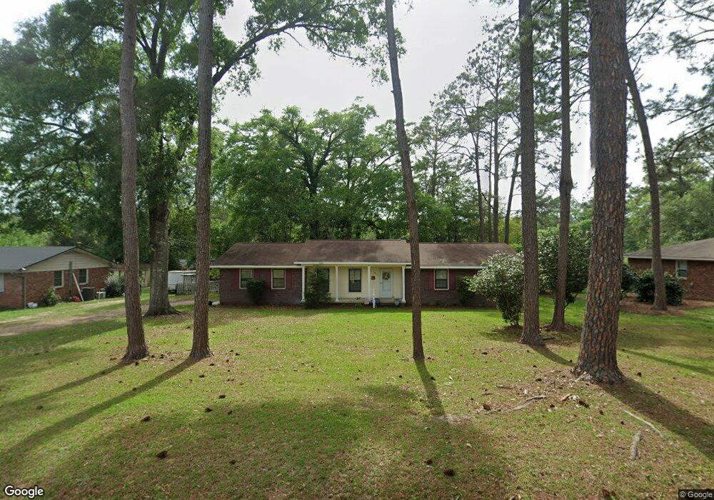
This home is located at 1404 Platt Ave, Cairo, GA 39828 and is currently estimated at $190,466, approximately $134 per square foot. 1404 Platt Ave is a home with nearby schools including Cairo High School.
Ownership History
Date
Name
Owned For
Owner Type
Purchase Details
Closed on
Jul 21, 2017
Sold by
Harrison Steve E
Bought by
Jacobs Joyce F
Current Estimated Value
Home Financials for this Owner
Home Financials are based on the most recent Mortgage that was taken out on this home.
Original Mortgage
$57,000
Outstanding Balance
$47,370
Interest Rate
3.9%
Mortgage Type
New Conventional
Estimated Equity
$143,096
Purchase Details
Closed on
Jun 1, 1993
Sold by
Harrison Steve E
Bought by
Harrison Steve E
Create a Home Valuation Report for This Property
The Home Valuation Report is an in-depth analysis detailing your home's value as well as a comparison with similar homes in the area
Purchase History
| Date | Buyer | Sale Price | Title Company |
|---|---|---|---|
| Jacobs Joyce F | $114,000 | -- | |
| Harrison Steve E | $60,000 | -- |
Source: Public Records
Mortgage History
| Date | Status | Borrower | Loan Amount |
|---|---|---|---|
| Open | Jacobs Joyce F | $57,000 |
Source: Public Records
Tax History
| Year | Tax Paid | Tax Assessment Tax Assessment Total Assessment is a certain percentage of the fair market value that is determined by local assessors to be the total taxable value of land and additions on the property. | Land | Improvement |
|---|---|---|---|---|
| 2025 | $1,400 | $57,732 | $3,700 | $54,032 |
| 2024 | $1,400 | $52,092 | $3,700 | $48,392 |
| 2023 | $1,212 | $38,245 | $4,858 | $33,387 |
| 2022 | $1,269 | $38,245 | $4,858 | $33,387 |
| 2021 | $1,272 | $38,245 | $4,858 | $33,387 |
| 2020 | $1,275 | $38,245 | $4,858 | $33,387 |
| 2019 | $1,275 | $38,245 | $4,858 | $33,387 |
| 2018 | $1,208 | $38,245 | $4,858 | $33,387 |
| 2017 | $1,353 | $38,245 | $4,858 | $33,387 |
| 2016 | $1,180 | $32,608 | $4,858 | $27,751 |
| 2015 | $1,168 | $32,608 | $4,858 | $27,751 |
| 2014 | $1,168 | $32,608 | $4,858 | $27,751 |
| 2013 | -- | $29,805 | $4,857 | $24,948 |
Source: Public Records
Map
Nearby Homes
- 1406 Platt Ave
- 1405 Platt Ave
- 306 Midland Place
- 198 Oakdale Rd SE
- 530 6th St
- 130 17th Ave SE
- 1193 S Broad St
- 112 Cakebread Dr
- 530 6th Ave SE
- 1870 Oakdale Rd SE
- 117 SW Pine Cirlce
- 580 5th St SE
- 1891 Lakewood Dr SE
- 112 Pine Cir SW
- 592 20th St SE
- 460 2nd St SW
- 309 3rd St SE
- 0 111 Hwy Unit 396477
- 140 Elderberry Ln
- X 1st St
- 1314 Platt Ave
- 1303 Emerson Ave SE
- 00 Maxwell Dr
- 1339 Emerson Ave SE
- 1312 Platt Ave
- 1299 Emerson Ave SE
- 1401 Platt Ave
- 1408 Platt Ave
- 1305 Platt Ave
- 00 Emerson Ave
- 00 Emerson Ave
- 1279 Emerson Ave SE
- 1310 Platt Ave
- 1393 Emerson Ave SE
- 1312 Emerson Ave SE
- 413 Ridgecrest Dr SE
- 1380 Emerson Ave SE
- 1362 Emerson Ave SE
- 1362 Emerson Ave SE
- 405 Maxwell Dr
Your Personal Tour Guide
Ask me questions while you tour the home.