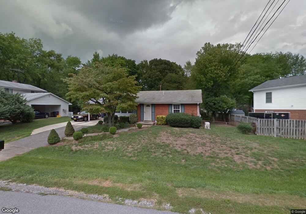
1404 Taylor Ave Fort Washington, MD 20744
Estimated Value: $346,000 - $487,000
--
Bed
2
Baths
1,529
Sq Ft
$278/Sq Ft
Est. Value
About This Home
This home is located at 1404 Taylor Ave, Fort Washington, MD 20744 and is currently estimated at $425,771, approximately $278 per square foot. 1404 Taylor Ave is a home located in Prince George's County with nearby schools including Fort Washington Forest Elementary School, Accokeek Academy, and Friendly High School.
Ownership History
Date
Name
Owned For
Owner Type
Purchase Details
Closed on
Oct 9, 2001
Sold by
Lawson Mary B
Bought by
Morris Regina C
Current Estimated Value
Purchase Details
Closed on
Apr 4, 1995
Sold by
Patel Suryakant M
Bought by
Lawson Mary B
Home Financials for this Owner
Home Financials are based on the most recent Mortgage that was taken out on this home.
Original Mortgage
$119,600
Interest Rate
8.8%
Purchase Details
Closed on
Apr 21, 1986
Sold by
Campbell Michael J
Bought by
Patel Suryakant M and Patel Parul S
Create a Home Valuation Report for This Property
The Home Valuation Report is an in-depth analysis detailing your home's value as well as a comparison with similar homes in the area
Home Values in the Area
Average Home Value in this Area
Purchase History
| Date | Buyer | Sale Price | Title Company |
|---|---|---|---|
| Morris Regina C | $154,900 | -- | |
| Lawson Mary B | $121,800 | -- | |
| Patel Suryakant M | $85,000 | -- |
Source: Public Records
Mortgage History
| Date | Status | Borrower | Loan Amount |
|---|---|---|---|
| Previous Owner | Lawson Mary B | $119,600 |
Source: Public Records
Tax History Compared to Growth
Tax History
| Year | Tax Paid | Tax Assessment Tax Assessment Total Assessment is a certain percentage of the fair market value that is determined by local assessors to be the total taxable value of land and additions on the property. | Land | Improvement |
|---|---|---|---|---|
| 2025 | $4,181 | $356,367 | -- | -- |
| 2024 | $4,181 | $323,800 | $101,800 | $222,000 |
| 2023 | $4,039 | $308,033 | $0 | $0 |
| 2022 | $3,860 | $292,267 | $0 | $0 |
| 2021 | $3,686 | $276,500 | $100,900 | $175,600 |
| 2020 | $3,564 | $255,200 | $0 | $0 |
| 2019 | $3,422 | $233,900 | $0 | $0 |
| 2018 | $3,264 | $212,600 | $75,900 | $136,700 |
| 2017 | $3,172 | $201,033 | $0 | $0 |
| 2016 | -- | $189,467 | $0 | $0 |
| 2015 | $3,040 | $177,900 | $0 | $0 |
| 2014 | $3,040 | $177,900 | $0 | $0 |
Source: Public Records
Map
Nearby Homes
- 1410 Fillmore Rd
- 13503 Harrison Ave
- 12806 Monroe Ave
- 1916 Taylor Ave
- 13318 Chalfont Ave
- 804 Cascade Dr
- 802 Cornish St
- 13303 Pendleton St
- 13403 Pendleton St
- 12904 Chalfont Ave
- 14005 Livingston Rd
- 13024 Old Fort Rd
- 13030 Old Fort Rd
- 0 Holly Rd Unit MDPG2160552
- 12309 Livingston Rd
- 513 Holly Rd
- 504 Holly Rd
- 12116 Old Fort Rd
- 0 Joseph Dr
- 12204 Clear Creek Dr
- 1402 Taylor Ave
- 1406 Taylor Ave
- 13107 Monroe Ave
- 13105 Monroe Ave
- 1400 Taylor Ave
- 1403 Taylor Ave
- 1405 Taylor Ave
- 13104 Harrison Ave
- 13200 Harrison Ave
- 13103 Monroe Ave
- 1407 Taylor Ave
- 1500 Taylor Ave
- 1405 Madison Dr
- 13108 Monroe Ave
- 1409 Taylor Ave
- 1403 Madison Dr
- 13106 Monroe Ave
- 1407 Madison Dr
- 1501 Taylor Ave
- 1402 Fillmore Rd