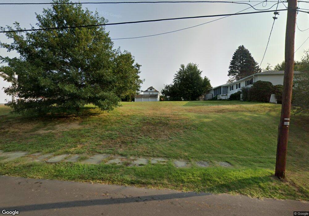
1404 Watson St Scranton, PA 18504
Hyde Park NeighborhoodEstimated Value: $160,000
--
Bed
--
Bath
--
Sq Ft
0.26
Acres
About This Home
This home is located at 1404 Watson St, Scranton, PA 18504 and is currently estimated at $160,000. 1404 Watson St is a home located in Lackawanna County with nearby schools including Longan Elementary School, Adams Elementary School, and Frances Willard School.
Ownership History
Date
Name
Owned For
Owner Type
Purchase Details
Closed on
May 22, 2018
Sold by
Fncb Bank
Bought by
Rucker Robert and Rucker Shannon
Current Estimated Value
Purchase Details
Closed on
Mar 14, 2016
Sold by
Sheriff Of Lackawanna County
Bought by
First National Community Bank
Purchase Details
Closed on
Jun 13, 2013
Sold by
Malinko Gary P and Malinko Michele M
Bought by
May Michael T and May Paula Marie
Home Financials for this Owner
Home Financials are based on the most recent Mortgage that was taken out on this home.
Original Mortgage
$13,500
Interest Rate
3.39%
Mortgage Type
Purchase Money Mortgage
Create a Home Valuation Report for This Property
The Home Valuation Report is an in-depth analysis detailing your home's value as well as a comparison with similar homes in the area
Home Values in the Area
Average Home Value in this Area
Purchase History
| Date | Buyer | Sale Price | Title Company |
|---|---|---|---|
| Rucker Robert | $5,250 | -- | |
| First National Community Bank | $1,405 | Attorney | |
| May Michael T | $18,000 | None Available |
Source: Public Records
Mortgage History
| Date | Status | Borrower | Loan Amount |
|---|---|---|---|
| Previous Owner | May Michael T | $13,500 | |
| Closed | First National Community Bank | $0 |
Source: Public Records
Tax History Compared to Growth
Tax History
| Year | Tax Paid | Tax Assessment Tax Assessment Total Assessment is a certain percentage of the fair market value that is determined by local assessors to be the total taxable value of land and additions on the property. | Land | Improvement |
|---|---|---|---|---|
| 2025 | $779 | $1,600 | $1,600 | $0 |
| 2024 | $730 | $1,600 | $1,600 | $0 |
| 2023 | $730 | $1,600 | $1,600 | $0 |
| 2022 | $714 | $1,600 | $1,600 | $0 |
| 2021 | $714 | $1,600 | $1,600 | $0 |
| 2020 | $706 | $1,600 | $1,600 | $0 |
| 2019 | $669 | $1,600 | $1,600 | $0 |
| 2018 | $669 | $1,600 | $1,600 | $0 |
| 2017 | $662 | $1,600 | $1,600 | $0 |
| 2016 | $372 | $1,600 | $1,600 | $0 |
| 2015 | $545 | $1,600 | $1,600 | $0 |
| 2014 | -- | $1,600 | $1,600 | $0 |
Source: Public Records
Map
Nearby Homes
- 1411 Watson St
- 1335 Sloan St
- 1301 Sloan St
- 1227 Rundle St
- LOT#16 Reynolds Ave
- Lot# 7 Reynolds Ave
- 1234 Bryn Mawr St Unit 11
- 816 12th Ave
- 1115 Watson St
- 1143 Reynolds Ave
- 1215 Eynon St
- 1223 Eynon St
- 1150 W Elm St
- 924 S Main Ave
- 706 Parrott Ave
- 1227-1229 Hampton St
- 1157-59 Hampton St
- 1203 Acker Ave
- 610 Landis St
- 405 17th Ave
- 1402 Watson St
- 1410 Watson St
- 1394 Watson St
- 1407 Sloan St
- 1409 Sloan St Unit 1411
- 1503 Parrott Ave
- 1401 Sloan St
- 1405 Sloan St
- 1409 Watson St
- 1392 Watson St
- 1501 Parrott Ave Unit 1503
- 1505 Sloan St Unit 1511
- 1201 Parrott Ave
- 1517 Watson St
- 1388 Watson St Unit 1390
- 1520 Watson St
- 1389 Watson St
- 1519 Watson St
- 1345 Sloan St
- 1387 Watson St