14040 Carter Rd Athens, AL 35611
Coxey-Lawngate NeighborhoodEstimated Value: $495,000 - $563,000
--
Bed
--
Bath
3,036
Sq Ft
$172/Sq Ft
Est. Value
About This Home
This home is located at 14040 Carter Rd, Athens, AL 35611 and is currently estimated at $523,433, approximately $172 per square foot. 14040 Carter Rd is a home with nearby schools including Tanner Elementary School and Tanner High School.
Ownership History
Date
Name
Owned For
Owner Type
Purchase Details
Closed on
Jan 27, 2025
Sold by
Keefer Ryan and Keefer Roseanna
Bought by
Sides Darren
Current Estimated Value
Purchase Details
Closed on
Dec 15, 2022
Sold by
Sides Darren
Bought by
Howard Aaron Winn M
Purchase Details
Closed on
May 25, 2021
Sold by
Osborn David and Osborn David K
Bought by
Sides Darren and Winn Aaron
Home Financials for this Owner
Home Financials are based on the most recent Mortgage that was taken out on this home.
Original Mortgage
$1,940,000
Interest Rate
2.9%
Mortgage Type
Seller Take Back
Create a Home Valuation Report for This Property
The Home Valuation Report is an in-depth analysis detailing your home's value as well as a comparison with similar homes in the area
Home Values in the Area
Average Home Value in this Area
Purchase History
| Date | Buyer | Sale Price | Title Company |
|---|---|---|---|
| Sides Darren | $515,000 | Title Order Nbr Only | |
| Howard Aaron Winn M | $875,000 | Attorney Only | |
| Sides Darren | $3,880,000 | None Available | |
| Osborn David K | -- | None Available |
Source: Public Records
Mortgage History
| Date | Status | Borrower | Loan Amount |
|---|---|---|---|
| Previous Owner | Osborn David K | $1,940,000 |
Source: Public Records
Tax History Compared to Growth
Tax History
| Year | Tax Paid | Tax Assessment Tax Assessment Total Assessment is a certain percentage of the fair market value that is determined by local assessors to be the total taxable value of land and additions on the property. | Land | Improvement |
|---|---|---|---|---|
| 2024 | $2,213 | $73,780 | $0 | $0 |
| 2023 | $2,243 | $316,460 | $0 | $0 |
| 2022 | $1,859 | $60,980 | $0 | $0 |
| 2021 | $696 | $29,480 | $0 | $0 |
| 2020 | $0 | $28,460 | $0 | $0 |
| 2019 | $656 | $27,800 | $0 | $0 |
| 2018 | $523 | $22,120 | $0 | $0 |
| 2017 | $669 | $24,060 | $0 | $0 |
| 2016 | $591 | $423,700 | $0 | $0 |
| 2015 | $621 | $21,460 | $0 | $0 |
| 2014 | $606 | $0 | $0 | $0 |
Source: Public Records
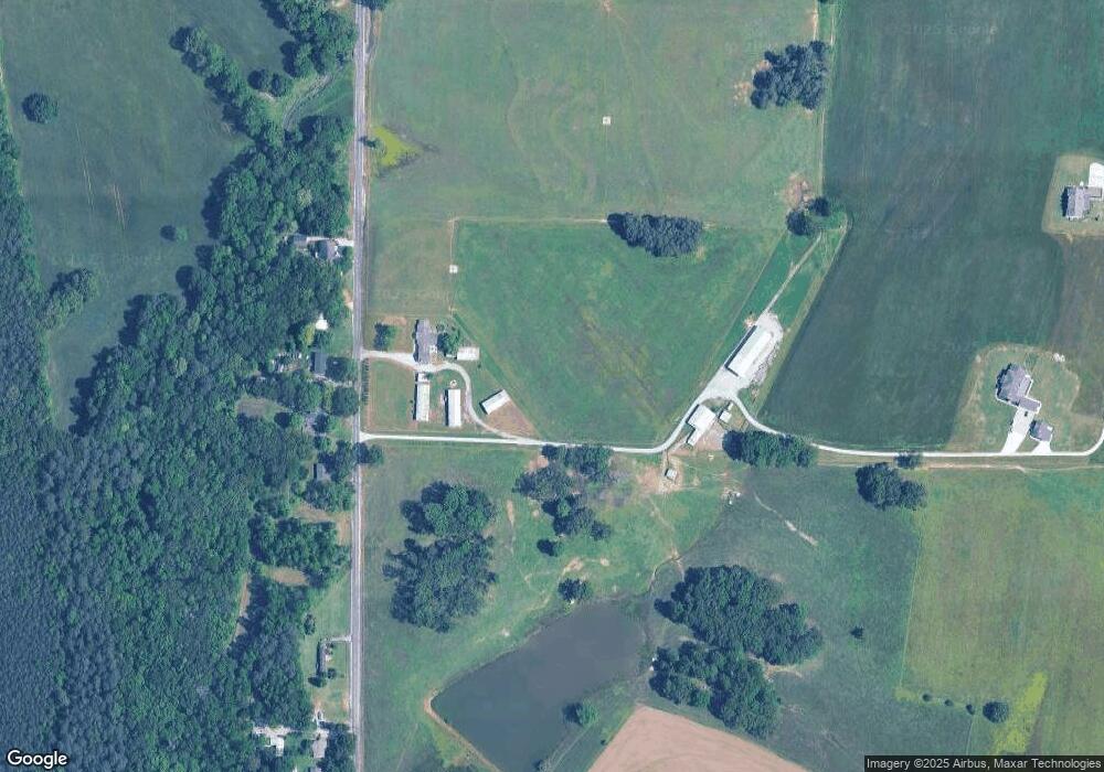
Map
Nearby Homes
- 20630 Calcutta St
- 13060 Kenwood Dr
- 13100 Kenwood Dr
- 13055 Kenwood Dr
- 13013 Kenwood Dr
- 13133 Kenwood Dr
- 13020 Kenwood Dr
- 16266 Evans Rd
- 17309 Ferry Rd
- 5 Lucas Ferry Rd
- TRACT 3 Lucas Ferry Rd
- Tract 2 Lucas Ferry Rd
- 17688 Brownsferry Rd
- 17776 Emma Jo Ln
- 17768 Emma Jo Ln
- 17812 Emma Jo Ln
- 17738 Emma Jo Ln
- 15648 Ham Rd
- 955 W Sanderfer Rd
- 17759 Tipper Ln
- 14051 Carter Rd
- 14091 Carter Rd
- 14003 Carter Rd
- 14043 Carter Rd
- 13973 Carter Rd
- 00 Carter Rd
- 0 Carter Rd
- 14352 Carter Rd
- 13823 Carter Rd
- 14275 Carter Rd
- 13805 Carter Rd
- 14315 Carter Rd
- 16686 Brooks Dr
- 13729 Carter Rd
- 16695 Brooks Dr
- 16528 Brownsferry Rd
- 14380 Carter Rd
- 16677 Brooks Dr
- 16554 Brownsferry Rd
- Brownsferry Rd Unit 299848