1405 Abrams Rd SE Silver Creek, GA 30173
Estimated Value: $163,000 - $228,000
Studio
--
Bath
1,140
Sq Ft
$178/Sq Ft
Est. Value
About This Home
This home is located at 1405 Abrams Rd SE, Silver Creek, GA 30173 and is currently estimated at $202,678, approximately $177 per square foot. 1405 Abrams Rd SE is a home located in Floyd County with nearby schools including Pepperell Middle School and Pepperell High School.
Ownership History
Date
Name
Owned For
Owner Type
Purchase Details
Closed on
Dec 7, 2023
Sold by
Salmon Charles
Bought by
Salmon Linda
Current Estimated Value
Purchase Details
Closed on
May 1, 2012
Sold by
Salmon Charles Randall
Bought by
Wells Fargo Bank
Purchase Details
Closed on
Apr 19, 2007
Sold by
Not Provided
Bought by
Salmon Charles and Salmon Linda
Purchase Details
Closed on
Jan 20, 1981
Bought by
P and R
Purchase Details
Closed on
Nov 5, 1973
Bought by
Salmon Charles and Salmon Linda
Create a Home Valuation Report for This Property
The Home Valuation Report is an in-depth analysis detailing your home's value as well as a comparison with similar homes in the area
Purchase History
| Date | Buyer | Sale Price | Title Company |
|---|---|---|---|
| Salmon Linda | -- | -- | |
| Wells Fargo Bank | $61,859 | -- | |
| Salmon Charles | -- | -- | |
| P | $3,800 | -- | |
| Salmon Charles | $4,100 | -- |
Source: Public Records
Tax History
| Year | Tax Paid | Tax Assessment Tax Assessment Total Assessment is a certain percentage of the fair market value that is determined by local assessors to be the total taxable value of land and additions on the property. | Land | Improvement |
|---|---|---|---|---|
| 2025 | $475 | $70,014 | $15,667 | $54,347 |
| 2024 | $475 | $64,518 | $13,926 | $50,592 |
| 2023 | $780 | $61,907 | $12,660 | $49,247 |
| 2022 | $600 | $50,102 | $10,044 | $40,058 |
| 2021 | $524 | $44,162 | $9,136 | $35,026 |
| 2020 | $520 | $41,495 | $7,944 | $33,551 |
| 2019 | $501 | $39,873 | $7,944 | $31,929 |
| 2018 | $475 | $37,935 | $7,566 | $30,369 |
| 2017 | $454 | $36,541 | $7,005 | $29,536 |
| 2016 | $455 | $36,162 | $7,000 | $29,162 |
| 2015 | $429 | $36,162 | $7,000 | $29,162 |
| 2014 | $429 | $36,162 | $7,000 | $29,162 |
Source: Public Records
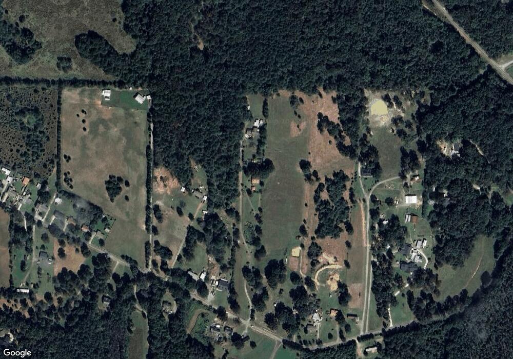
Map
Nearby Homes
- 1200 Lovell Rd SE
- 1776 Wax Rd SE
- 3209 Wax Rd SE
- 110 Williams Rd SE
- 990 Aragon Taylorsville Rd
- 2011 Bailey Rd SE
- 12 Lakemont Dr SE
- 16 Hardin Dr SE
- 463 Compton Rd SE
- 0 Ridge Cross Rd Unit 10665973
- 0 Powell Rd SE Unit 10606945
- 119 Satcher Rd
- 375 Druid Rd SE
- 894 Wax Rd SE
- 1561 Pleasant Valley Rd SE
- 3810 Chulio Rd SE
- 353 Morris Rd SE
- 45 Gordon Rd
- 0 Satcher Rd Unit 7666911
- 0 Satcher Rd Unit 10626187
- 1381 Abrams Rd SE
- 1481 Abrams Rd SE
- 1481 Abrams Rd SE
- 1383 Abrams Rd SE
- 1427 Abrams Rd SE
- 1427 Abrams Rd SE
- 1483 Abrams Rd SE
- 1332 Abrams Rd SE
- 1441 Abrams Rd SE
- 1338 Abrams Rd SE
- 1463 Abrams Rd SE
- 1398 Abrams Rd SE
- 1398 Abrams Rd SE
- 1328 Abrams Rd SE
- 1404 Abrams Rd SE
- 1301 Abrams Rd SE
- 1320 Abrams Rd SE
- 1310 Abrams Rd SE
- 1289 Abrams Rd SE
- 1511 Abrams Rd SE
Your Personal Tour Guide
Ask me questions while you tour the home.