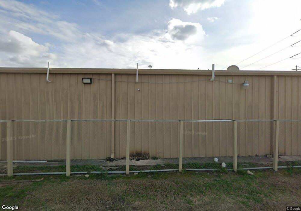
1405 Broad St Lake Charles, LA 70601
Estimated Value: $729,123
--
Bed
--
Bath
7,435
Sq Ft
$98/Sq Ft
Est. Value
About This Home
This home is located at 1405 Broad St, Lake Charles, LA 70601 and is currently estimated at $729,123, approximately $98 per square foot. 1405 Broad St is a home located in Calcasieu Parish with nearby schools including John J. Johnson II Elementary School, Ralph F. Wilson Elementary School, and Ray D. Molo Middle School.
Ownership History
Date
Name
Owned For
Owner Type
Purchase Details
Closed on
Sep 20, 2012
Sold by
Singh Kulwinder and Kaur Baljinder
Bought by
Thind Petroleum Llc
Current Estimated Value
Home Financials for this Owner
Home Financials are based on the most recent Mortgage that was taken out on this home.
Original Mortgage
$136,346
Outstanding Balance
$94,568
Interest Rate
3.62%
Mortgage Type
Commercial
Estimated Equity
$634,555
Purchase Details
Closed on
Apr 12, 2010
Sold by
Grice Berard Manuel Keith and Grice Berard Sheila
Bought by
Singh Kulwinder
Create a Home Valuation Report for This Property
The Home Valuation Report is an in-depth analysis detailing your home's value as well as a comparison with similar homes in the area
Home Values in the Area
Average Home Value in this Area
Purchase History
| Date | Buyer | Sale Price | Title Company |
|---|---|---|---|
| Thind Petroleum Llc | $450,000 | None Available | |
| Singh Kulwinder | $23,000 | Mayo Land Title Co Inc |
Source: Public Records
Mortgage History
| Date | Status | Borrower | Loan Amount |
|---|---|---|---|
| Open | Thind Petroleum Llc | $136,346 |
Source: Public Records
Tax History Compared to Growth
Tax History
| Year | Tax Paid | Tax Assessment Tax Assessment Total Assessment is a certain percentage of the fair market value that is determined by local assessors to be the total taxable value of land and additions on the property. | Land | Improvement |
|---|---|---|---|---|
| 2024 | $3,678 | $32,240 | $4,240 | $28,000 |
| 2023 | $3,678 | $32,240 | $4,240 | $28,000 |
| 2022 | $3,710 | $32,240 | $4,240 | $28,000 |
| 2021 | $3,560 | $32,240 | $4,240 | $28,000 |
| 2020 | $3,419 | $26,430 | $4,030 | $22,400 |
| 2019 | $4,284 | $31,850 | $3,850 | $28,000 |
| 2018 | $3,911 | $31,850 | $3,850 | $28,000 |
| 2017 | $3,618 | $31,850 | $3,850 | $28,000 |
| 2016 | $7,102 | $31,850 | $3,850 | $28,000 |
Source: Public Records
Map
Nearby Homes
- 740 V E Washington St
- 1605 Broad St
- 1502 Iowa St
- 1611 Brick St
- 1534 Iowa St
- 0 Broad St Unit SWL24000787
- 716 S Shattuck St
- 1010 Enterprise Blvd
- 1300 3rd St
- 1012 Broad St
- 0 Clement St
- 920 Broad St
- 1006 Mill St
- 1609 Pine St
- 905 Pujo St
- 1202 Louisiana Ave
- 900 S Division St
- 0 2nd St
- 402 Magnolia St
- 1948 Broad St
- 756 S Lyons St
- 723 S 1st Ave
- 729 S 1st Ave
- 744 S Lyons St
- 725 1st Ave
- 753 S Lyons St
- 742 S Lyons St
- 721 V E Washington St
- 742 V E Washington St
- 747 S Lyons St
- 1515 Broad St
- 717 V East Washington Ave
- 743 S Lyons St
- 713 V East Washington Ave
- 901 1st Ave
- 723 S Franklin St
- 737 S Lyons St
- 717 S Franklin St
- 709 V East Washington Ave
- 712 V E Washington St