1405 David Rd Effort, PA 18330
Estimated Value: $108,000 - $190,000
3
Beds
2
Baths
1,008
Sq Ft
$159/Sq Ft
Est. Value
About This Home
This home is located at 1405 David Rd, Effort, PA 18330 and is currently estimated at $159,773, approximately $158 per square foot. 1405 David Rd is a home located in Monroe County with nearby schools including Pleasant Valley Elementary School, Pleasant Valley Intermediate School, and Pleasant Valley Middle School.
Ownership History
Date
Name
Owned For
Owner Type
Purchase Details
Closed on
Jul 3, 2024
Sold by
Long Island Development Group Llc
Bought by
J & A Pocono Properties Llc
Current Estimated Value
Home Financials for this Owner
Home Financials are based on the most recent Mortgage that was taken out on this home.
Original Mortgage
$122,500
Interest Rate
6.95%
Mortgage Type
New Conventional
Purchase Details
Closed on
Nov 30, 2023
Sold by
Residential Credit Opportunities Trust
Bought by
Long Island Development Group Llc
Purchase Details
Closed on
Nov 7, 2022
Sold by
Sheriff Of Monroe County
Bought by
Residential Credit Opportunities Trust
Purchase Details
Closed on
Feb 17, 1989
Bought by
Dredger Therese A
Create a Home Valuation Report for This Property
The Home Valuation Report is an in-depth analysis detailing your home's value as well as a comparison with similar homes in the area
Home Values in the Area
Average Home Value in this Area
Purchase History
| Date | Buyer | Sale Price | Title Company |
|---|---|---|---|
| J & A Pocono Properties Llc | -- | None Listed On Document | |
| Long Island Development Group Llc | $70,000 | Mortgage Connect | |
| Residential Credit Opportunities Trust | $3,988 | -- | |
| Dredger Therese A | $8,500 | -- |
Source: Public Records
Mortgage History
| Date | Status | Borrower | Loan Amount |
|---|---|---|---|
| Previous Owner | J & A Pocono Properties Llc | $122,500 |
Source: Public Records
Tax History Compared to Growth
Tax History
| Year | Tax Paid | Tax Assessment Tax Assessment Total Assessment is a certain percentage of the fair market value that is determined by local assessors to be the total taxable value of land and additions on the property. | Land | Improvement |
|---|---|---|---|---|
| 2025 | $478 | $59,930 | $12,940 | $46,990 |
| 2024 | $398 | $59,930 | $12,940 | $46,990 |
| 2023 | $1,815 | $59,930 | $12,940 | $46,990 |
| 2022 | $1,765 | $59,930 | $12,940 | $46,990 |
| 2021 | $1,683 | $59,930 | $12,940 | $46,990 |
| 2020 | $1,224 | $59,930 | $12,940 | $46,990 |
| 2019 | $2,198 | $12,330 | $1,250 | $11,080 |
| 2018 | $2,173 | $12,330 | $1,250 | $11,080 |
| 2017 | $2,148 | $12,330 | $1,250 | $11,080 |
| 2016 | $342 | $12,330 | $1,250 | $11,080 |
| 2015 | -- | $12,330 | $1,250 | $11,080 |
| 2014 | -- | $12,330 | $1,250 | $11,080 |
Source: Public Records
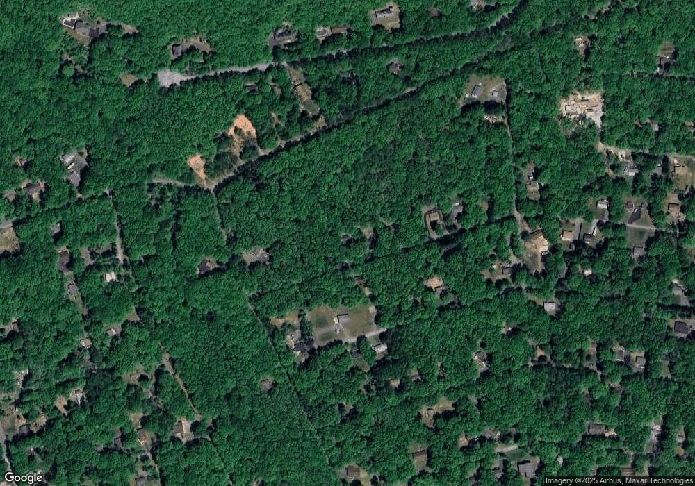
Map
Nearby Homes
- 0 Johns Rd Unit PM-136428
- 1405 Donalds Rd
- 1412 Johns Rd
- 341 Donalds Rd
- 295 Davids Rd
- 869 Toll Rd
- Lot 154 Little Twig Rd
- 1231 Sky High Terrace
- 1507 Upper Valley Rd
- 1718 Donalds Rd
- 1555 Longleaf Dr
- 1392 Whispering Hills Ct
- 141 Long View Dr
- 692 Watercrest Ave
- 144 Lamsden Dr
- 107 Horseshoe Dr
- 306 Valley View Dr
- lot 37 Lakeside Dr
- 317 Valley View Dr
- 460 Scenic Dr Unit 4223