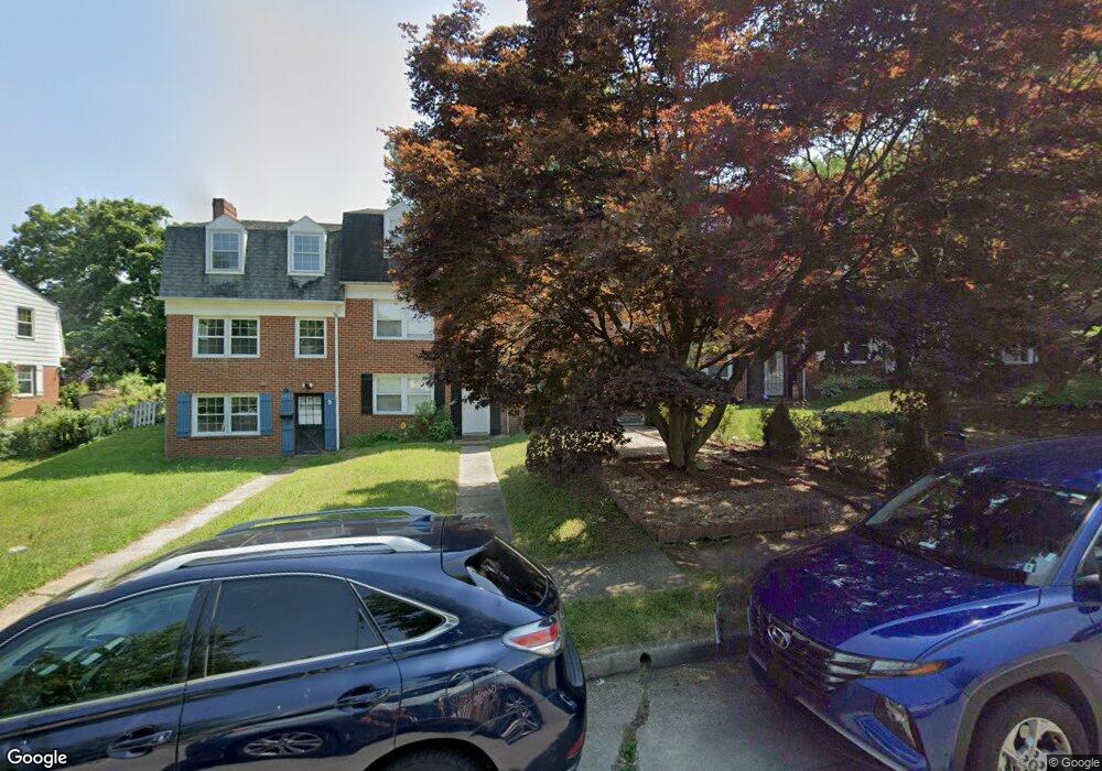
1405 Limit Ave Baltimore, MD 21239
Idlewood NeighborhoodEstimated Value: $165,258 - $210,000
Studio
3
Baths
1,152
Sq Ft
$163/Sq Ft
Est. Value
About This Home
This home is located at 1405 Limit Ave, Baltimore, MD 21239 and is currently estimated at $187,629, approximately $162 per square foot. 1405 Limit Ave is a home located in Baltimore City with nearby schools including Leith Walk Elementary School, Booker T. Washington Middle School, and Paul Laurence Dunbar High School.
Ownership History
Date
Name
Owned For
Owner Type
Purchase Details
Closed on
Feb 4, 2024
Sold by
Clark Lynette and Clark Lynette T
Bought by
Clark Lynette T
Current Estimated Value
Purchase Details
Closed on
Apr 29, 2009
Sold by
Savage Lynette T
Bought by
Clark Lynette
Purchase Details
Closed on
Apr 18, 1994
Sold by
Noval D J
Bought by
Savage Lynette T
Home Financials for this Owner
Home Financials are based on the most recent Mortgage that was taken out on this home.
Original Mortgage
$70,000
Interest Rate
7.45%
Create a Home Valuation Report for This Property
The Home Valuation Report is an in-depth analysis detailing your home's value as well as a comparison with similar homes in the area
Home Values in the Area
Average Home Value in this Area
Purchase History
| Date | Buyer | Sale Price | Title Company |
|---|---|---|---|
| Clark Lynette T | -- | None Listed On Document | |
| Clark Lynette | -- | -- | |
| Savage Lynette T | $70,000 | -- |
Source: Public Records
Mortgage History
| Date | Status | Borrower | Loan Amount |
|---|---|---|---|
| Previous Owner | Savage Lynette T | $70,000 |
Source: Public Records
Tax History
| Year | Tax Paid | Tax Assessment Tax Assessment Total Assessment is a certain percentage of the fair market value that is determined by local assessors to be the total taxable value of land and additions on the property. | Land | Improvement |
|---|---|---|---|---|
| 2025 | $3,145 | $146,500 | -- | -- |
| 2024 | $3,145 | $133,900 | $30,000 | $103,900 |
| 2023 | $3,124 | $132,367 | $0 | $0 |
| 2022 | $3,088 | $130,833 | $0 | $0 |
| 2021 | $3,051 | $129,300 | $30,000 | $99,300 |
| 2020 | $2,663 | $124,733 | $0 | $0 |
| 2019 | $2,542 | $120,167 | $0 | $0 |
| 2018 | $2,514 | $115,600 | $30,000 | $85,600 |
| 2017 | $2,542 | $115,600 | $0 | $0 |
| 2016 | $2,327 | $115,600 | $0 | $0 |
| 2015 | $2,327 | $122,800 | $0 | $0 |
| 2014 | $2,327 | $122,800 | $0 | $0 |
Source: Public Records
Map
Nearby Homes
- 1400 Walker Ave
- 1432 Walker Ave
- 1283 Cedarcroft Rd
- 1255 Cedarcroft Rd
- 6580 Loch Raven Blvd
- 1371 E Northern Pkwy
- 1206 Cedarcroft Rd
- 6702 Queens Ferry Rd
- 1117 Walker Ave
- 5913 Wakehurst Way
- 1526 Wadsworth Way
- 5933 Leith Walk
- 1101 Gittings Ave
- 6225 Chinquapin Pkwy
- 6138 Dunroming Rd
- 1506 Gleneagle Rd
- 1204 Saint Andrews Way
- 1600 Walterswood Rd
- 1126 Gleneagle Rd
- 1123 Elbank Ave
- 1407 Limit Ave
- 1403 Limit Ave
- 1409 Limit Ave
- 1401 Limit Ave
- 1411 Limit Ave
- 1391 Limit Ave
- 1413 Limit Ave
- 1389 Limit Ave
- 1415 Limit Ave
- 1387 Limit Ave
- 1404 Walker Ave
- 1406 Walker Ave
- 1402 Walker Ave
- 1417 Limit Ave
- 1385 Limit Ave
- 1408 Walker Ave
- 1410 Walker Ave
- 1372 Walker Ave
- 1419 Limit Ave
- 1383 Limit Ave
Your Personal Tour Guide
Ask me questions while you tour the home.