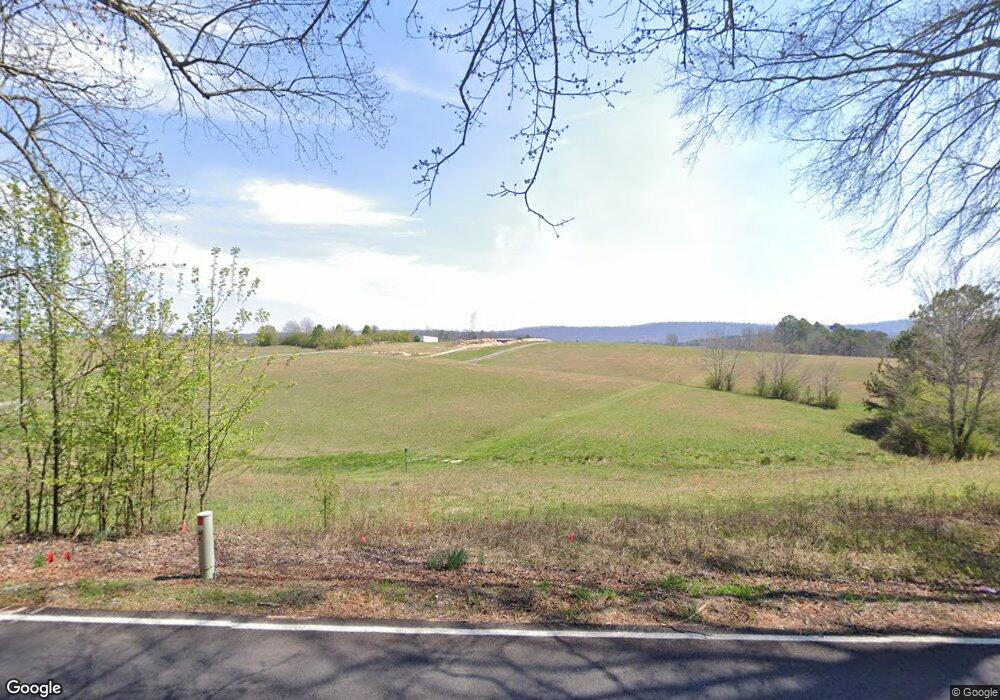
1405 Mcintire Rd Rock Spring, GA 30739
Rock Spring NeighborhoodEstimated Value: $153,358 - $364,000
--
Bed
--
Bath
--
Sq Ft
9.2
Acres
About This Home
This home is located at 1405 Mcintire Rd, Rock Spring, GA 30739 and is currently estimated at $244,453. 1405 Mcintire Rd is a home with nearby schools including Rock Spring Elementary School, Lafayette High School, and Alice M Daley Adventist School.
Ownership History
Date
Name
Owned For
Owner Type
Purchase Details
Closed on
Apr 29, 2009
Sold by
Vaughn Gary C
Bought by
Ryan Thomas C
Current Estimated Value
Home Financials for this Owner
Home Financials are based on the most recent Mortgage that was taken out on this home.
Original Mortgage
$52,000
Interest Rate
4.79%
Mortgage Type
New Conventional
Purchase Details
Closed on
Dec 18, 2006
Sold by
Not Provided
Bought by
Ryan Thomas C and Ryan April N
Purchase Details
Closed on
Jan 1, 1972
Bought by
Ashley J P
Create a Home Valuation Report for This Property
The Home Valuation Report is an in-depth analysis detailing your home's value as well as a comparison with similar homes in the area
Home Values in the Area
Average Home Value in this Area
Purchase History
| Date | Buyer | Sale Price | Title Company |
|---|---|---|---|
| Ryan Thomas C | $65,000 | -- | |
| Ryan Thomas C | $57,593 | -- | |
| Ashley J P | -- | -- |
Source: Public Records
Mortgage History
| Date | Status | Borrower | Loan Amount |
|---|---|---|---|
| Closed | Ryan Thomas C | $52,000 |
Source: Public Records
Tax History Compared to Growth
Tax History
| Year | Tax Paid | Tax Assessment Tax Assessment Total Assessment is a certain percentage of the fair market value that is determined by local assessors to be the total taxable value of land and additions on the property. | Land | Improvement |
|---|---|---|---|---|
| 2024 | $1,191 | $43,311 | $34,089 | $9,222 |
| 2023 | $1,063 | $36,277 | $27,055 | $9,222 |
| 2022 | $527 | $22,700 | $13,478 | $9,222 |
| 2021 | $544 | $21,168 | $13,478 | $7,690 |
| 2020 | $375 | $14,042 | $13,478 | $564 |
| 2019 | $382 | $14,042 | $13,478 | $564 |
| 2018 | $357 | $13,478 | $13,478 | $0 |
| 2017 | $404 | $13,478 | $13,478 | $0 |
| 2016 | $330 | $13,478 | $13,478 | $0 |
| 2015 | $657 | $25,228 | $25,228 | $0 |
| 2014 | $636 | $25,228 | $25,228 | $0 |
| 2013 | -- | $25,228 | $25,228 | $0 |
Source: Public Records
Map
Nearby Homes
- 1314 Mcintire Rd
- 106 Meadow Oak Dr
- 58 Oak Run
- 0 Georgia 95
- 1052 Huffman Rd
- 23 Oak Meadow Dr
- 5062 Georgia 95
- 533 Van Dell Dr
- 201 Van Dell Dr
- 57 McGaha Rd
- 7606 Highway 95
- 0 Clyde Byrd Rd
- 0 Tarvin Rd Unit 1523862
- 450 Arnold Ln
- 218 Golden Oaks Dr
- 1934 Round Pond Rd
- 200 Ash Ln
- 1585 E Reed Rd
- 287 E Teems Rd
- 0 Temperance Hall Rd Unit 10506446
- 1415 Mcintire Rd
- 00 Misty Mountain Trail
- 1422 Mcintire Rd
- 1406 Mcintire Rd
- 1561 Mcintire Rd
- 68 Evans Hill Ln
- 156 Gann Dr
- 90 Southerland Dr
- 1306 Mcintire Rd
- 219 Gann Dr
- 180 Evans Hill Ln
- 5816 Highway 95
- 36 Gann Dr
- 1201 Mcintire Rd
- 210 Evans Hill Ln
- 1128 Mcintire Rd
- 5700 Highway 95
- 5700 Highway 95
- 6049 Highway 95
- 21 Southerland Dr